Scottish National Trail
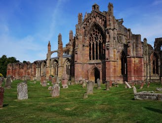
A superb long distance trek from the Lowlands to the Highlands, across the country of Scotland.
Difficult Hiking
- Distance
- 871 km
- Ascent
- 12 km
- Descent
- 12 km
Explore Moray with curated guides of the best ski routes, and more. With over 13 3D trail maps in FATMAP, you can easily discover and navigate the best trails in Moray.
No matter what your next adventure has in store, you can find a guide on FATMAP to help you plan your next epic trip.
Get a top trail recommendation in Moray from one of our 3 guidebooks, or get inspired by the 13 local adventures uploaded by the FATMAP community. Start exploring now!
A superb long distance trek from the Lowlands to the Highlands, across the country of Scotland.
Difficult Hiking
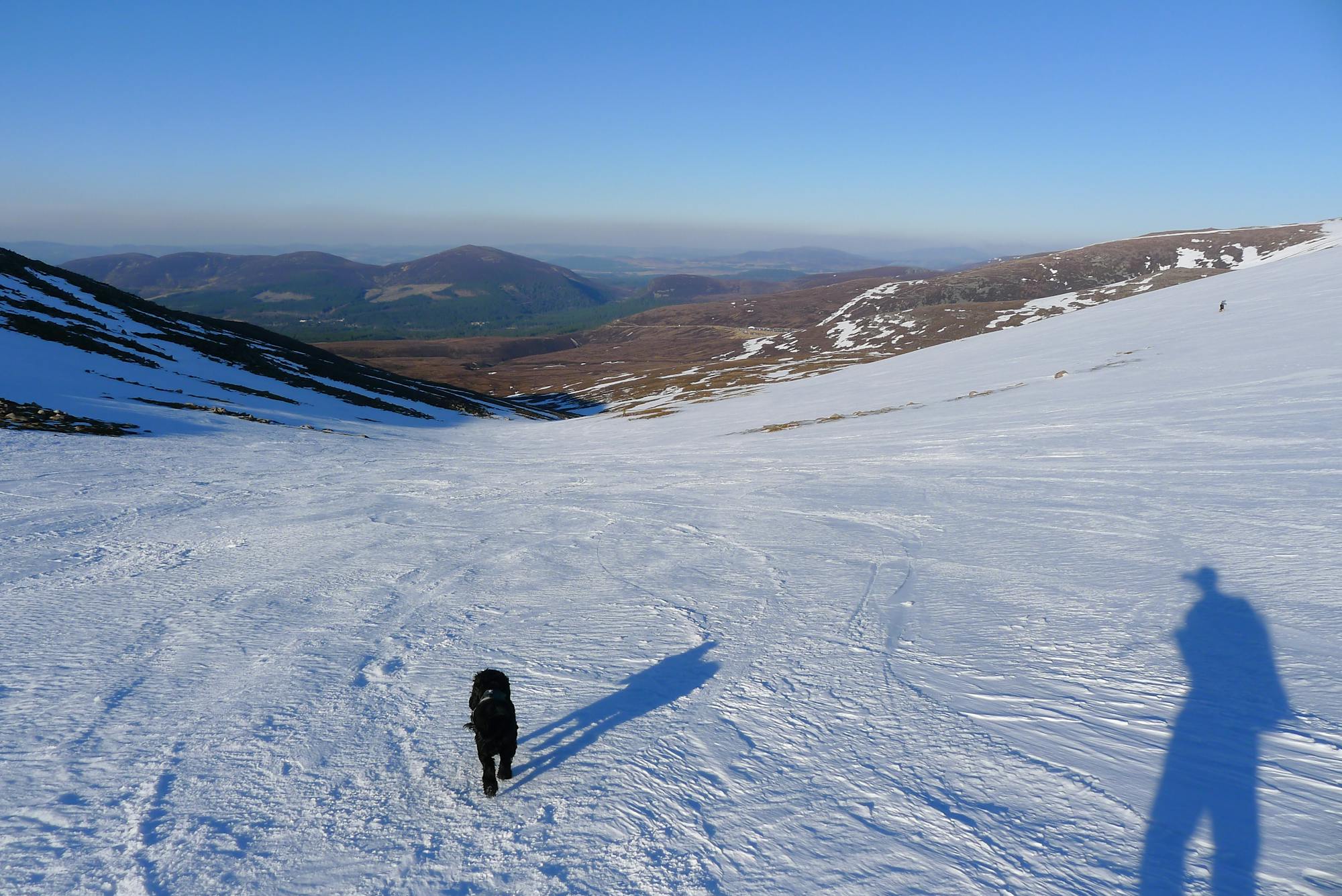
This incredible loop is well regarded as one of Scotland's best ski tours
Difficult Ski Touring

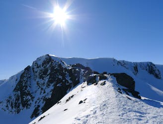
THE descent of the Loch Avon Basin. A fine "splitter" separating Shelter Stone Crag from Carn Etchachan
Moderate Ski Touring

great route for access to all aspects for snow chasing
Difficult Ski Touring

A long but valuable day
Difficult Ski Touring

All the classic rock routes in one push - Loch Muick to the Ski Area.
Difficult Trail Running

Aviemore to Hutchinson Hut
Moderate Hiking

Moray Duke of Edinburgh expedition
Moderate Hiking

A seriously challenging Cairngorm classic
Severe Ski Touring

A great line that holds its snow well into the season.
Difficult Ski Touring

An aesthetic couloir descending towards Loch Avon
Severe Ski Touring

A great descent down into the Loch Avon basin.
Difficult Ski Touring

A short but sweet descent on the West side of Loch Avon.
Severe Ski Touring