
4 routes
Explore Scottish Borders with curated guides of the best hiking trails, and more. With over 13 3D trail maps in FATMAP, you can easily discover and navigate the best trails in Scottish Borders.
No matter what your next adventure has in store, you can find a guide on FATMAP to help you plan your next epic trip.
Get a top trail recommendation in Scottish Borders from one of our 3 guidebooks, or get inspired by the 13 local adventures uploaded by the FATMAP community. Start exploring now!
4 routes
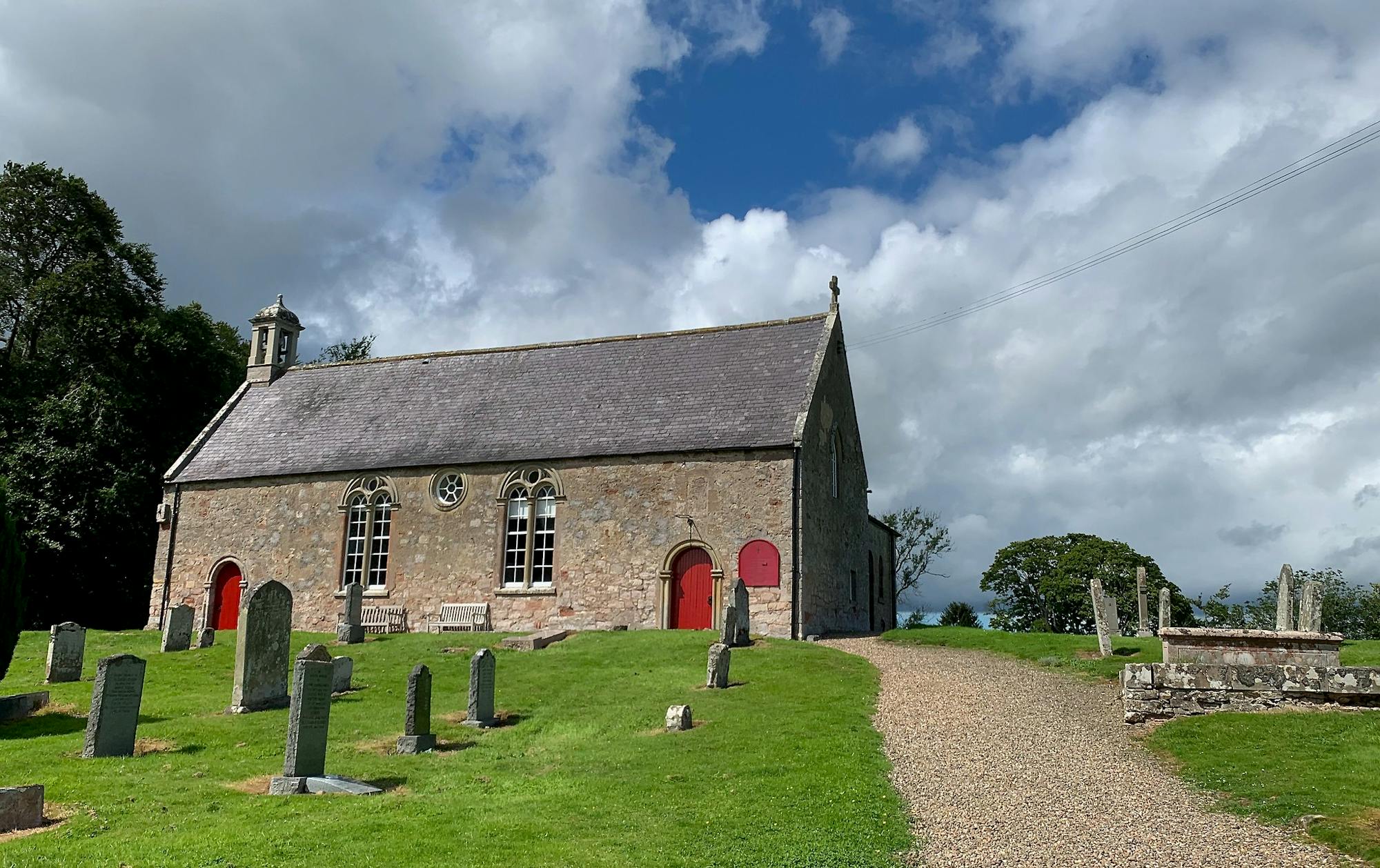
The wonders of the Cheviot Hills reveal themselves over 2 glorious days
Difficult Hiking
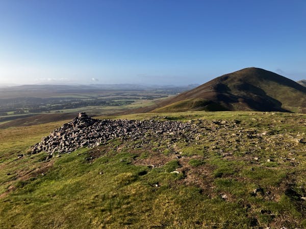
Explore the Western Pentlands with a rather boggy, but beautiful ridge walk providing fantastic views!
Moderate Hiking

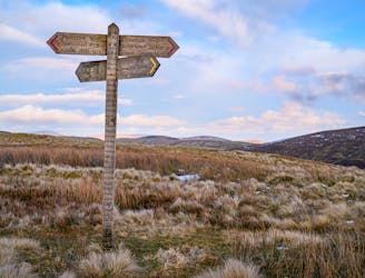
Follow gravel roads and grassy tracks alongside stone walls and wood fences, through farmland and rolling moorland, then into historic West Linton with its charming brick buildings and clock tower.
Moderate Hiking
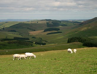
Warm the legs with a climb up aptly-named Wideopen Hill, then continue through surrounding towns and farmlands, passing one old castle, and bridging River Teviot near Monteviot House.
Moderate Hiking
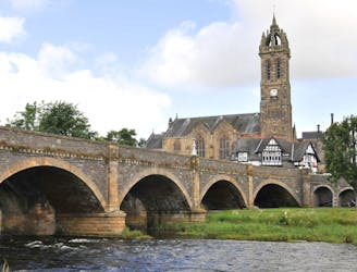
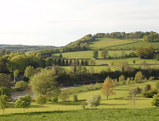
Rejoin the River Tweed and follow it through a valley of verdant pastures between wooded hills.
Easy Hiking

Leave town roads in the valley for tracks through hilly moorland and forest with abundant elevated viewpoints.
Moderate Hiking
Follow an Old Roman Road, then paths along the meandering River Tweed and through St Boswells village, then between the Eildon Hills to finish near the stately Melrose Abbey.
Moderate Hiking

A superb long distance trek from the Lowlands to the Highlands, across the country of Scotland.
Difficult Hiking

9 routes · Hiking
3 routes · Hiking
15 routes · Hiking