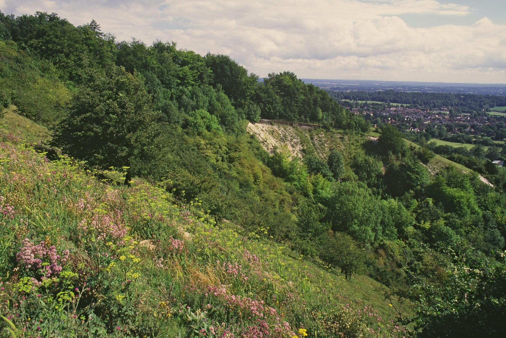
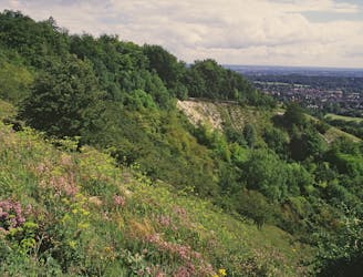
Newlands Corner and Chantry Wood
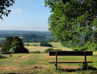
Explore 2 of Guildford's best loved natural spots
Moderate Hiking
- Distance
- 10 km
- Ascent
- 303 m
- Descent
- 302 m
Explore Surrey with curated guides of the best hiking trails, and more. With over 10 3D trail maps in FATMAP, you can easily discover and navigate the best trails in Surrey.
No matter what your next adventure has in store, you can find a guide on FATMAP to help you plan your next epic trip.
Get a top trail recommendation in Surrey from one of our 2 guidebooks, or get inspired by the 10 local adventures uploaded by the FATMAP community. Start exploring now!
Explore 2 of Guildford's best loved natural spots
Moderate Hiking
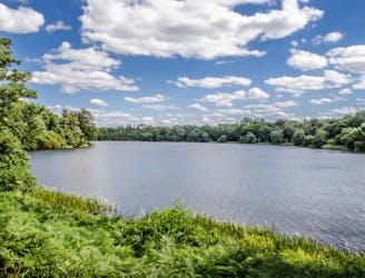
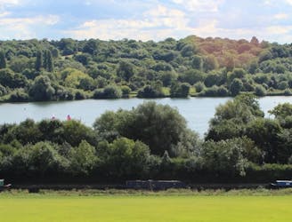
An easy and beautiful stroll around a peaceful lake
Easy Hiking

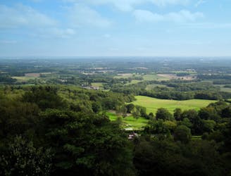
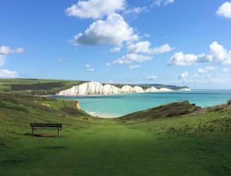
A long and varied stroll around of the southern England's best loved natural landmarks
Moderate Hiking
A woodland walk through the Surrey Hills to the grand Leith Hill Place and the famous Leith Hill.
Easy Hiking
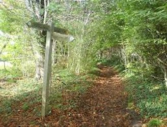
A pleasant station-to-station 6-mile ramble through the Surrey Countryside, ending with a traditional pub dating back to the 1400s.
Easy Hiking

Trail run from Bookham to Norbury Hill passing Polesden Lacey
Moderate Trail Running

This long distance walk takes you from the city to the coast, following the route of the London to Brighton Challenge.
Severe Hiking
It's the perfect route for walkers! This trail runs from the outskirts of London, through Ashdown Forest, Alfriston and Cuckmere Valley to the stunning East Sussex coast.
Severe Hiking
This walk links the Thames Path and North Downs Way National Trails.
Difficult Hiking
Travel through the Colne Valley on this walk from Staines to Uxbridge.
Difficult Hiking