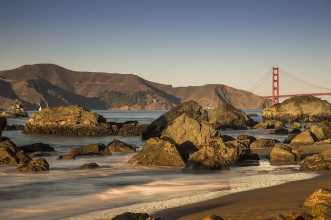
Mount Tam Sea-to-Summit Loop
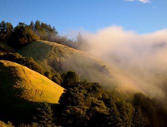
An epic loop on Mount Tamalpais, from sea level at Stinson Beach to the top of East Peak.
Severe Trail Running
- Distance
- 25 km
- Ascent
- 1.1 km
- Descent
- 1.1 km
Go trail running in Marin County with curated guides of the best trail runs across the region. With over 28 3D trail maps in FATMAP, you can easily discover and navigate the best trails in Marin County.
No matter what your next adventure has in store, you can find a guide on FATMAP to help you plan your next epic trip.
Get a top trail running recommendation in Marin County from one of our 11 guidebooks, or get inspired by the 28 local adventures uploaded by the FATMAP community. Start exploring now!
An epic loop on Mount Tamalpais, from sea level at Stinson Beach to the top of East Peak.
Severe Trail Running
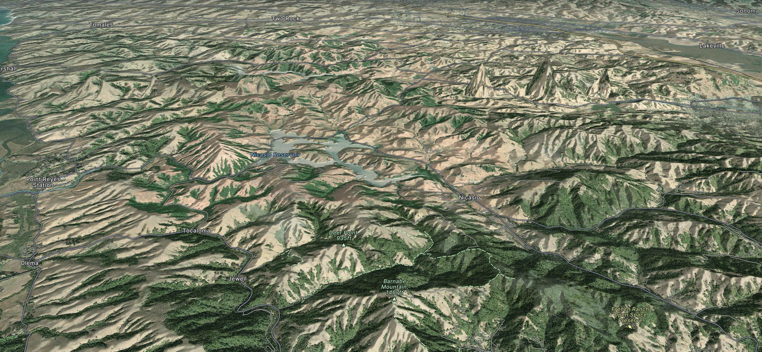
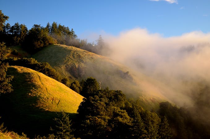
Varied and hilly terrain along the San Andreas Fault, with redwood groves in the valley and wide-open views on the ridge.
Difficult Trail Running

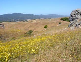
The Miwok 100k course is hilly (11,800 feet of gain) but runnable, with spectacular views of San Francisco and the Golden Gate Bridge, Sausalito, Mount Tamalpais, the ancient redwoods and the Point Reyes National Seashore.
Extreme Trail Running
7 routes · Hiking · Road Biking · Trail Running
5 routes · Trail Running

13 routes · Hiking · Trail Running