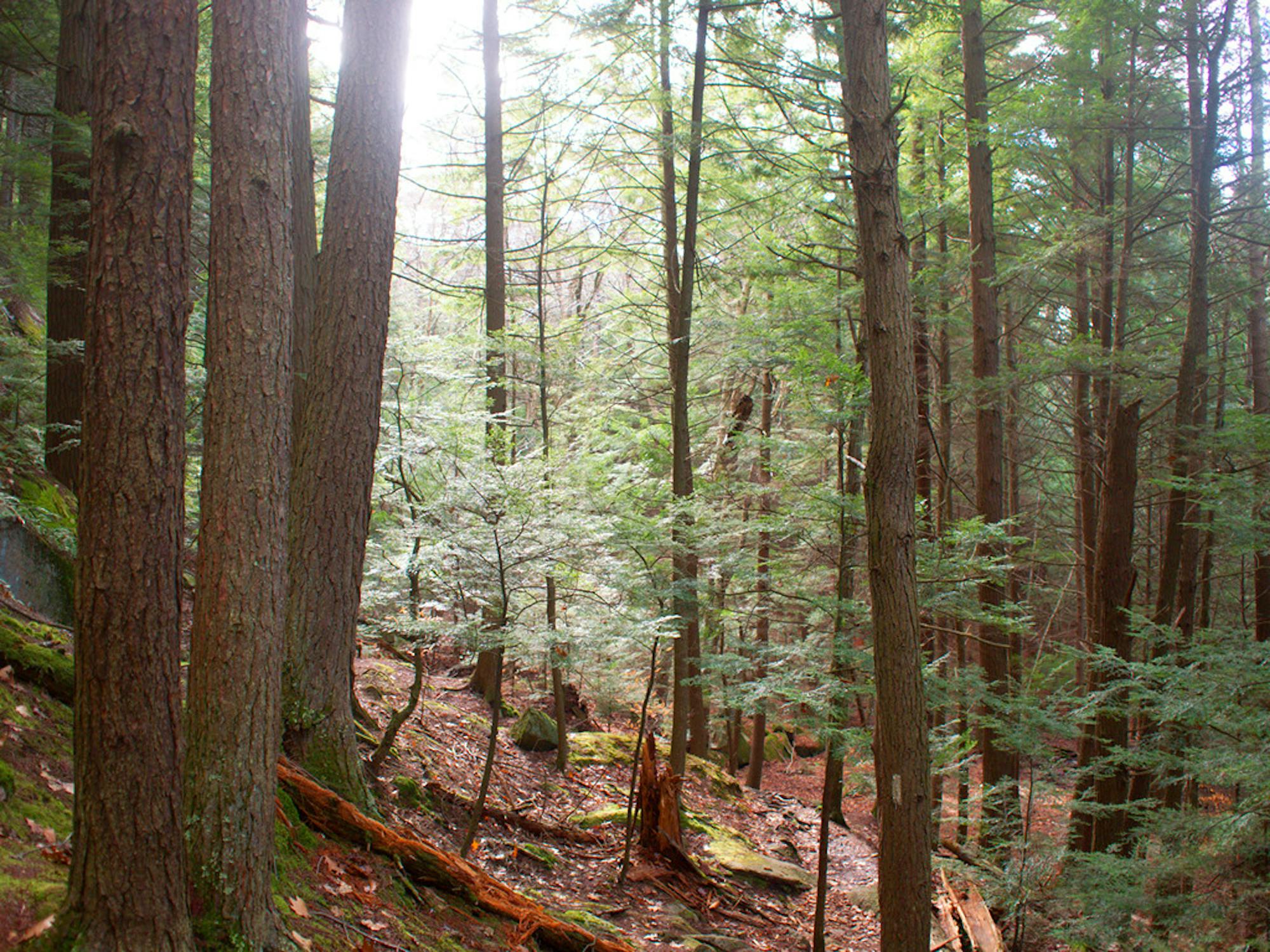
Day 4 - Zealand Falls Hut to Highland Center

White Mountains National Park
Difficult Hiking
- Distance
- 8.2 km
- Ascent
- 403 m
- Descent
- 585 m
Go hiking in New Hampshire with curated guides of the best hikes across the region. With over 212 3D trail maps in FATMAP, you can easily discover and navigate the best trails in New Hampshire.
No matter what your next adventure has in store, you can find a guide on FATMAP to help you plan your next epic trip.
Get a top hiking trail recommendation in New Hampshire from one of our 6 guidebooks, or get inspired by the 212 local adventures uploaded by the FATMAP community. Start exploring now!
White Mountains National Park
Difficult Hiking

White Mountains National Park
Difficult Hiking

White Mountains National Park
Difficult Hiking

White Mountains National Park
Difficult Hiking

Out and back trail to the tops of two of NH's 4000 footers starting from the beautiful Kangamangus Highway
Severe Hiking

Loop trail to the tops of Bartlett Mountain and Mount Kearsarge North
Difficult Hiking

Out and back trail to the top of Mount Kearsarge North
Difficult Hiking

Loop to the top of Black Cap Mountain starting from the end of Hurricane Mountain Road.
Moderate Hiking

Trail to the top of Black Cap starting from Hurricane Mountain Road
Moderate Hiking

Loop around the base of Tin Mountain and then to the top.
Moderate Hiking

A loop to the top of South Double Head via New Path, Old Path, and Doublehead Ski Trail
Moderate Hiking

Doublehead ski trail to North and South Doublehead
Moderate Hiking

Out and back for Mount Bond.
Severe Hiking

Out and back to the top of one of New Hampshire's 4000 footers
Difficult Hiking

Loop through the Mount Moosilauke woods
Difficult Hiking

Loop to the top of Mount Moosilauke and South Peak.
Difficult Hiking