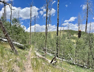
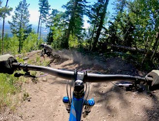
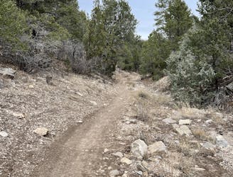
Camp May Road Trail -> Los Alamos Shuttle

A ripping shuttle run from the flanks of Pajarito Mountain to the town of Los Alamos.
Difficult Mountain Biking
- Distance
- 5.6 km
- Ascent
- 57 m
- Descent
- 435 m

Explore New Mexico with curated guides of the best hiking trails, mountain bike trails, trail running routes, ski routes, and more. With over 208 3D trail maps in FATMAP, you can easily discover and navigate the best trails in New Mexico.
No matter what your next adventure has in store, you can find a guide on FATMAP to help you plan your next epic trip.
Get a top trail recommendation in New Mexico from one of our 28 guidebooks, or get inspired by the 208 local adventures uploaded by the FATMAP community. Start exploring now!
A ripping shuttle run from the flanks of Pajarito Mountain to the town of Los Alamos.
Difficult Mountain Biking
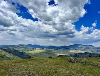
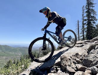
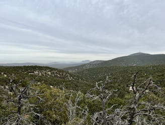
The hike up Pajarito Mountain doesn't follow the best trail ever, but the view from the top is truly incredible!
Difficult Hiking

The climbing trail to the top of Pajarito Mountain.
Moderate Mountain Biking

One of the easier downhills on the mountain.
Moderate Mountain Biking
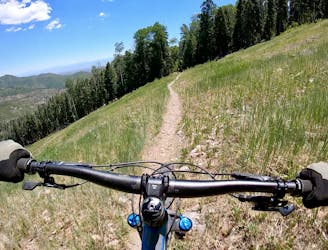
A great XC loop ride on Pajarito Mountain.
Moderate Mountain Biking

The more downhill-oriented version of Aspen for Trouble.
Difficult Mountain Biking
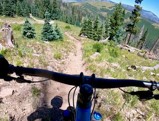
A spicier trail combination anchored by the Aspenola flow trail.
Difficult Mountain Biking
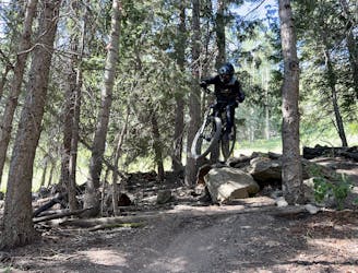
A primary artery down this section of the mountainside.
Severe Mountain Biking
The only "flow trail" down the mountain at Pajarito.
Moderate Mountain Biking
The most technical line in the Pajarito Bike Park.
Extreme Mountain Biking
One of the easiest routes down the mountain.
Easy Mountain Biking

One of the most epic bikepacking routes in the world.
Extreme Gravel Biking
One of the most epic bikepacking routes in the world.
Moderate Mountain Biking
A quick hit loop utilizing the classic Otero Canyon Trail.
Difficult Mountain Biking
A medium/long loop version on the classic Otero Canyon Trail.
Severe Mountain Biking
Short hike to a UFO crash site!
Easy Hiking