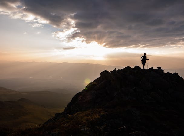
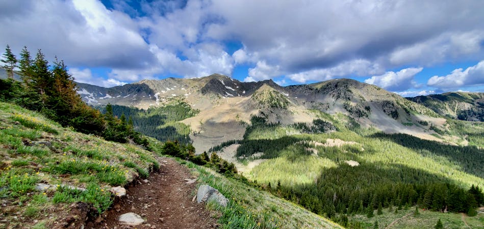
Gold Hill
A beautiful above-alpine peak in the Sangres.
Difficult Hiking
- Distance
- 16 km
- Ascent
- 1 km
- Descent
- 1 km
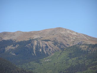
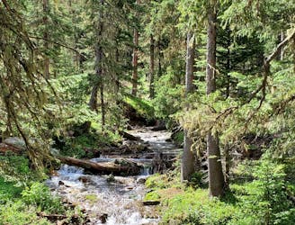
Taos Ski Valley is located in the Sangre De Cristo Mountains in Northern New Mexico and is home to a distinctive European atmosphere combined with local Native American and Spanish cultures. Taos is a powder lover’s paradise and is known for having light dry powder, undetectable lift lines, steep chutes, big bumps, cornices and tree glades.
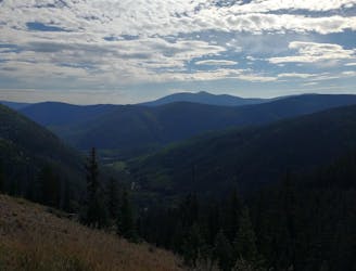
Go hiking in Taos with curated guides of the best hikes across the region. With over 41 3D trail maps in FATMAP, you can easily discover and navigate the best trails in Taos.
No matter what your next adventure has in store, you can find a guide on FATMAP to help you plan your next epic trip.
Get a top hiking trail recommendation in Taos from one of our 8 guidebooks, or get inspired by the 41 local adventures uploaded by the FATMAP community. Start exploring now!
A beautiful above-alpine peak in the Sangres.
Difficult Hiking
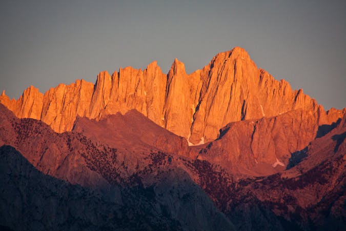
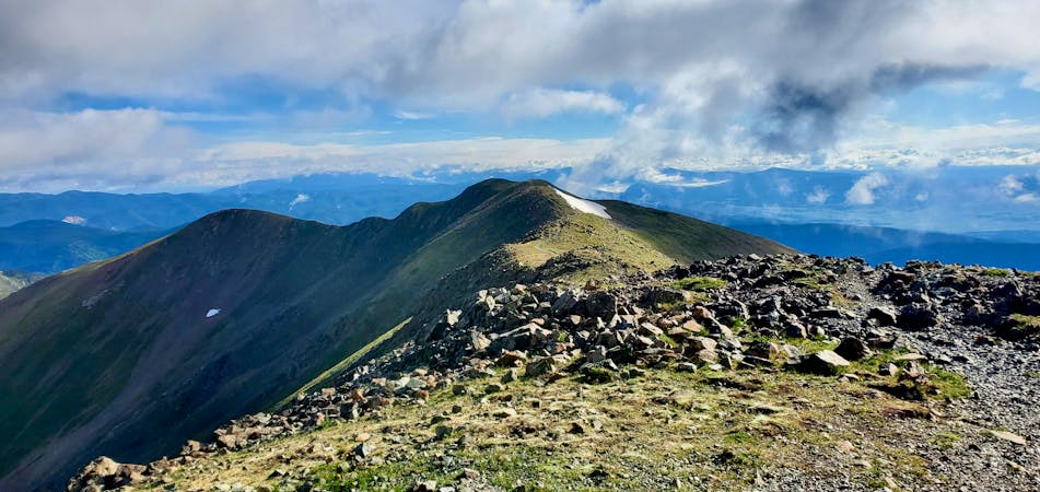
The most direct route to New Mexico's 13,161-foot high point.
Severe Hiking
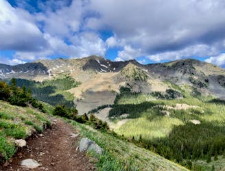
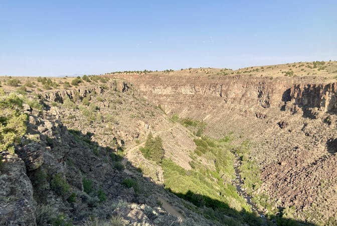
The most popular trail in Taos Ski Valley—but for good reason!
Moderate Hiking
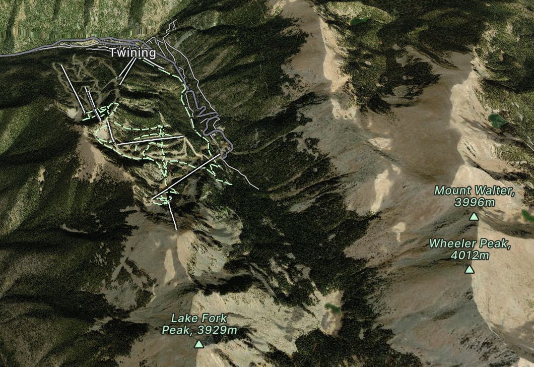
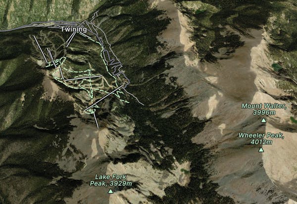
The best way to the highest point in New Mexico
Severe Hiking
5 routes · Alpine Climbing · Hiking
10 routes · Alpine Climbing · Hiking
7 routes · Hiking
4 routes · Alpine Climbing · Hiking
7 routes · Hiking · Trail Running