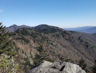
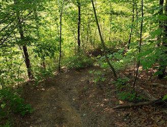
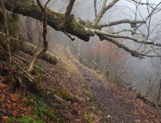
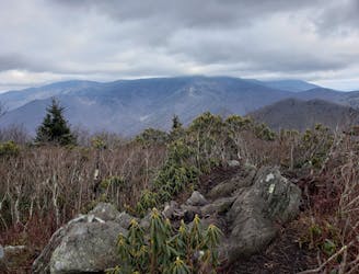
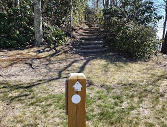
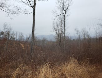
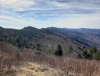
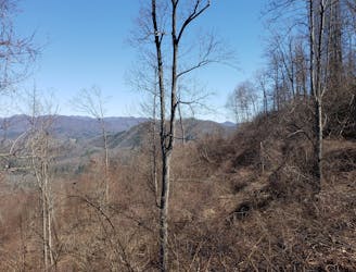
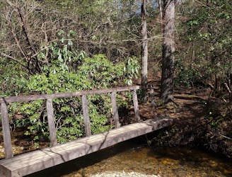
Haywood Gap / Buckeye Gap Loop
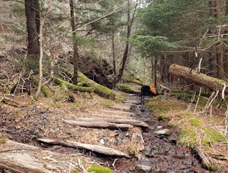
A lightly-traveled trail run through an old logging area turned wilderness.
Severe Trail Running
- Distance
- 12 km
- Ascent
- 565 m
- Descent
- 565 m
Go trail running in North Carolina with curated guides of the best trail runs across the region. With over 233 3D trail maps in FATMAP, you can easily discover and navigate the best trails in North Carolina.
No matter what your next adventure has in store, you can find a guide on FATMAP to help you plan your next epic trip.
Get a top trail running recommendation in North Carolina from one of our 38 guidebooks, or get inspired by the 233 local adventures uploaded by the FATMAP community. Start exploring now!
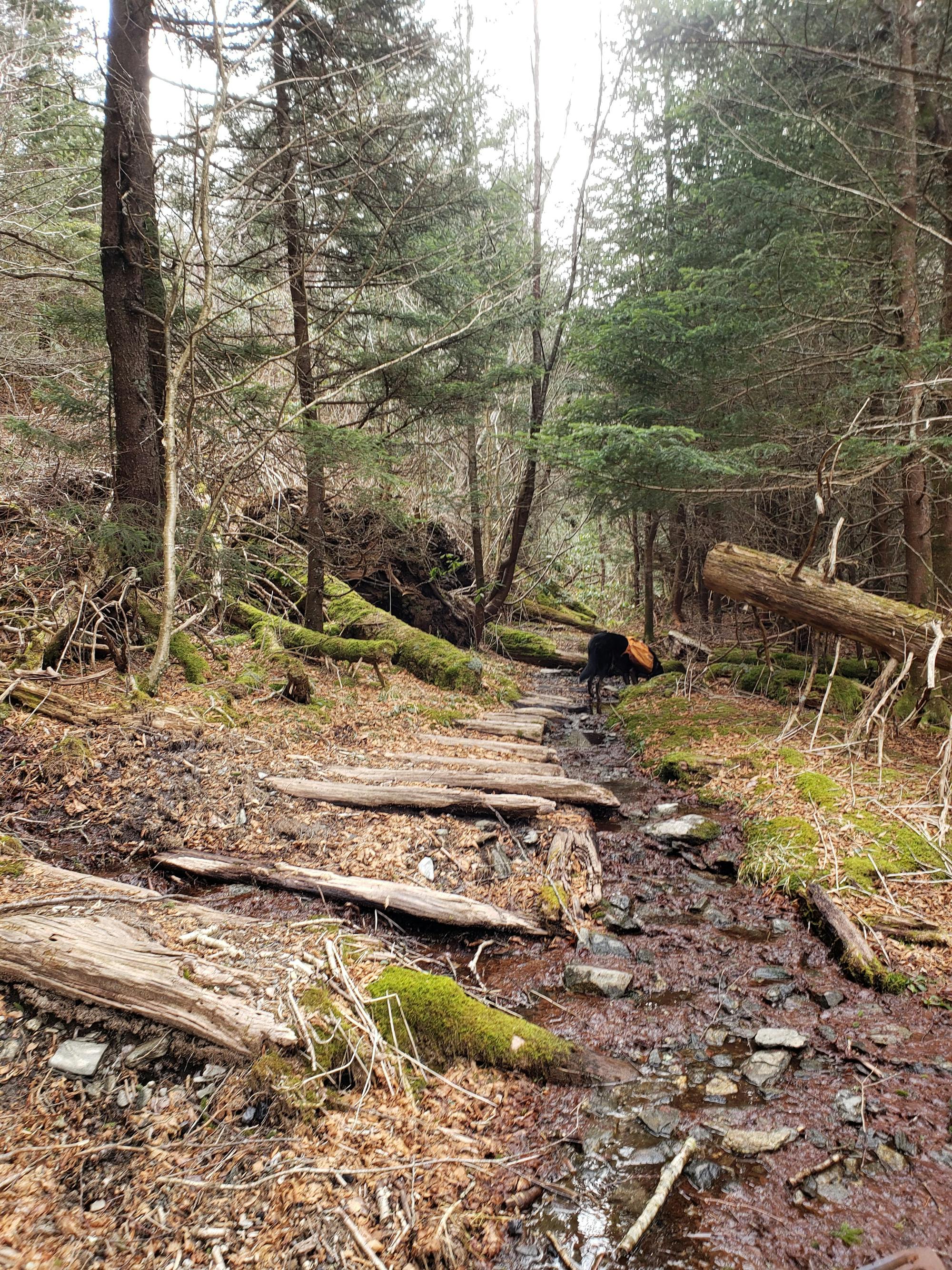
A lightly-traveled trail run through an old logging area turned wilderness.
Severe Trail Running
A short, yet challenging run with spectacular views from the summit of Mount Pisgah.
Difficult Trail Running
A classic trail run from the fish hatchery with phenomenal views from John Rock.
Moderate Trail Running
A local favorite with two beautiful overlooks.
Difficult Trail Running
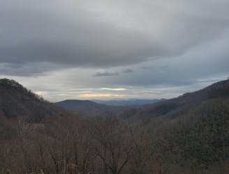
A steep, remote loop not far from Hot Springs with plenty of views and river access.
Difficult Trail Running
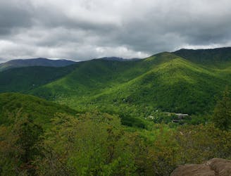
A beautiful route across Snowball Mountain, Hawkbill Rock, and the site of a former fire tower.
Severe Trail Running
A must-do trail run in the Montreat Wilderness.
Difficult Trail Running
A historic and iconic portion of the MST well-known in the trail running world.
Difficult Trail Running
A scenic, yet demanding, trail run to some of the best views in Montreat.
Difficult Trail Running
A local favorite trail running loop with epic views and easy access from town.
Difficult Trail Running
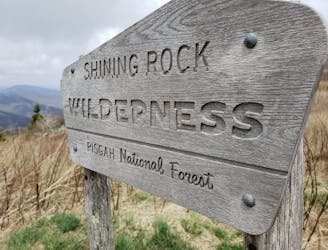
A iconic and scenic trail running route best known for its traverse through Shining Rock Wilderness.
Difficult Trail Running
A comprehensive trail run showcasing the best of the Green River Game Lands.
Difficult Trail Running
A rite of passage trail run not to be taken lightly.
Severe Trail Running
An easy trail run near Hot Springs, NC, that's loaded with views.
Easy Trail Running
A beautiful, relatively flat run through the historic Pink Beds Valley.
Easy Trail Running

A 330-mile route connecting the MST, AT, BMCT, and Burnsville into an epic loop.
Severe Trail Running