2 m away
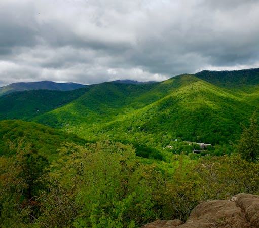
Cedar Rock Mountain
An incredibly challenging trail run requiring the use of fixed ropes to ascend Cedar Rock Mountain.
Extreme Trail Running
- Distance
- 12 km
- Ascent
- 558 m
- Descent
- 558 m
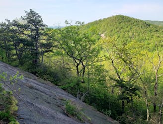
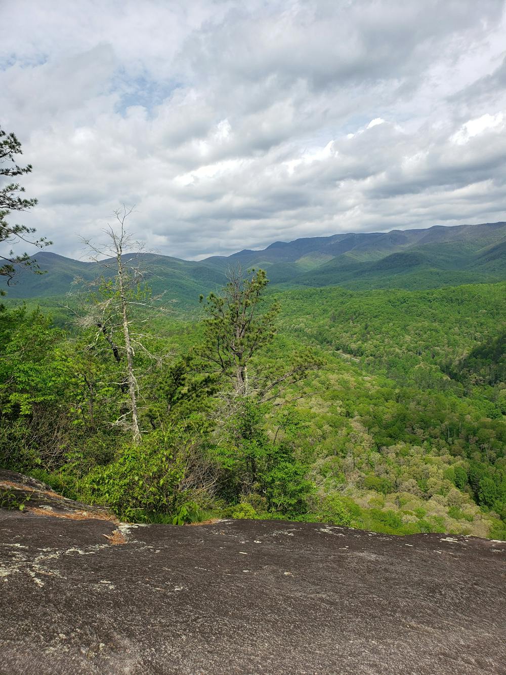
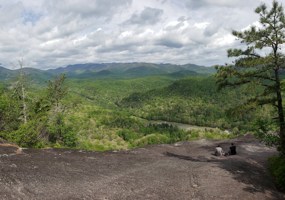
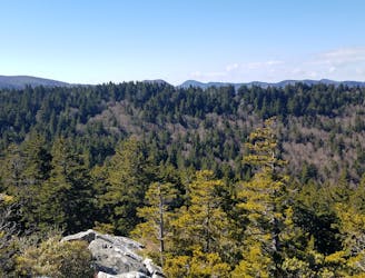
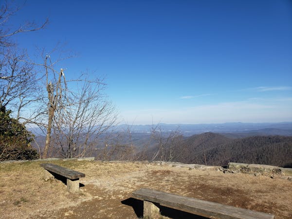
A classic trail run from the fish hatchery with phenomenal views from John Rock.
Trail Running Moderate

Just a short drive from Brevard, this classic trail running loop takes you to an exposed slickrock overlook with incredible views towards the Balsam Range.

The route departs from the Pisgah Center for Wildlife Education, commonly referred to as the Fish Hatchery. Drinking water and restrooms are seasonally available, and parking is plentiful for larger vehicles or trailers.
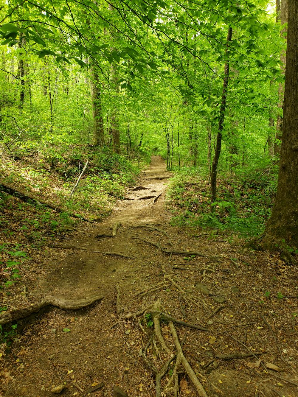
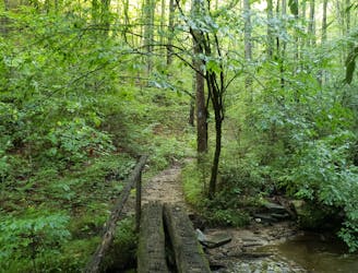
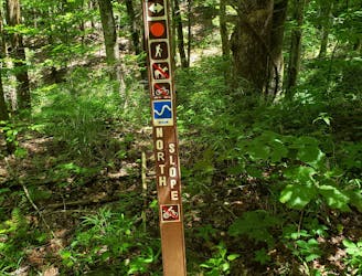
The run begins and ends at the parking lot on opposing ends. To begin, follow the access road behind the building to the western trailhead. After crossing a gate, keep right and follow orange blazes on the Cat Gap Loop. From here, the route is very well maintained and easy to follow.
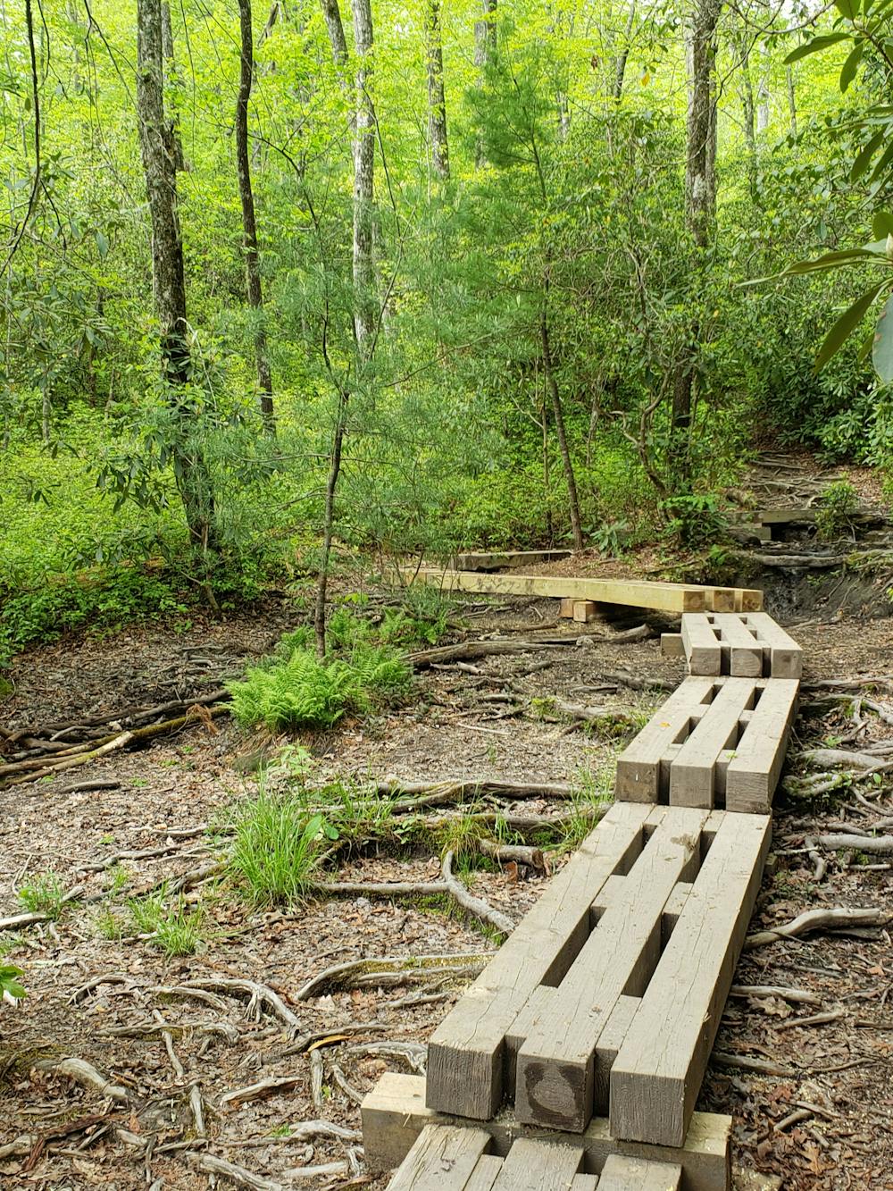
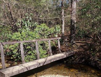
There are a couple of stream crossings that may require you to get your feet wet after recent rain. This is also a dog-friendly hike, but obey all USFS regulations and use extra caution atop the overlook.
To visit John Rock, you will need to follow the yellow-blazed John Rock Trail (#365) to the overlook. After a rolling traverse, several spur trails lead to different vantage points to enjoy the sweeping views.
Moderate

Some trail sections have exposed ledges or steep ascents/descents where falling could cause serious injury.

Away from help but easily accessed.
2 m away
An incredibly challenging trail run requiring the use of fixed ropes to ascend Cedar Rock Mountain.
Extreme Trail Running
2.7 km away
A short trail run originating at a picnic area along the Davidson River.
Moderate Trail Running
3.4 km away
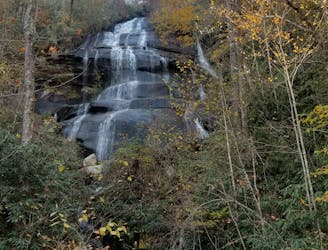
A staple trail running loop with a 150' cascading waterfall.
Moderate Trail Running
6.4 km away
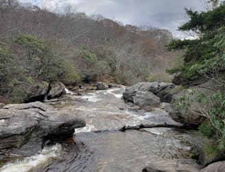
A classic trail run in a high mountain valley with two waterfalls.
Moderate Trail Running
6.5 km away

A short, quiet trail running loop near town.
Moderate Trail Running
6.5 km away
A challenging trail run through dense tunnels of rhododendron.
Difficult Trail Running
7.8 km away
A beautiful, relatively flat run through the historic Pink Beds Valley.
Easy Trail Running
9.4 km away
A challenging and incredibly-steep approach to Shining Rock.
Severe Trail Running
9.4 km away
An incredible trail run across bald summits and exposed overlooks.
Difficult Trail Running
12 routes · Trail Running
6 routes · Trail Running