2.7 km away
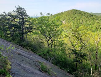
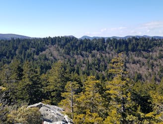
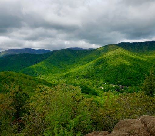
John Rock
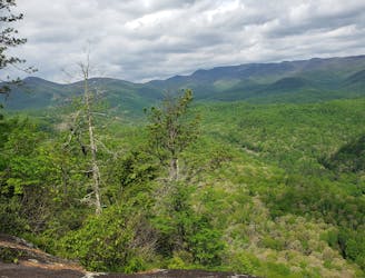
A classic trail run from the fish hatchery with phenomenal views from John Rock.
Moderate Trail Running
- Distance
- 9.3 km
- Ascent
- 409 m
- Descent
- 409 m
A short trail run originating at a picnic area along the Davidson River.
Trail Running Moderate
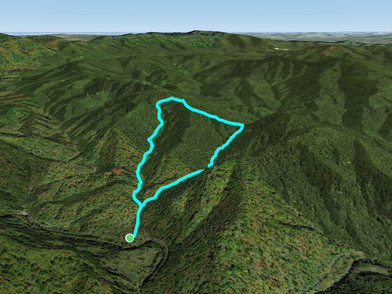
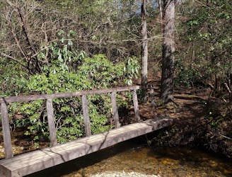
This is a great short trail run that sees less traffic than most of Pisgah National Forest. The loop originates at the Coontree Picnic Area and travels ~3.5 miles through beautiful terrain lined with rhododendron and mountain laurel. Afterward, you have the option to soak in the cool waters of the Davidson River just beyond the picnic area.
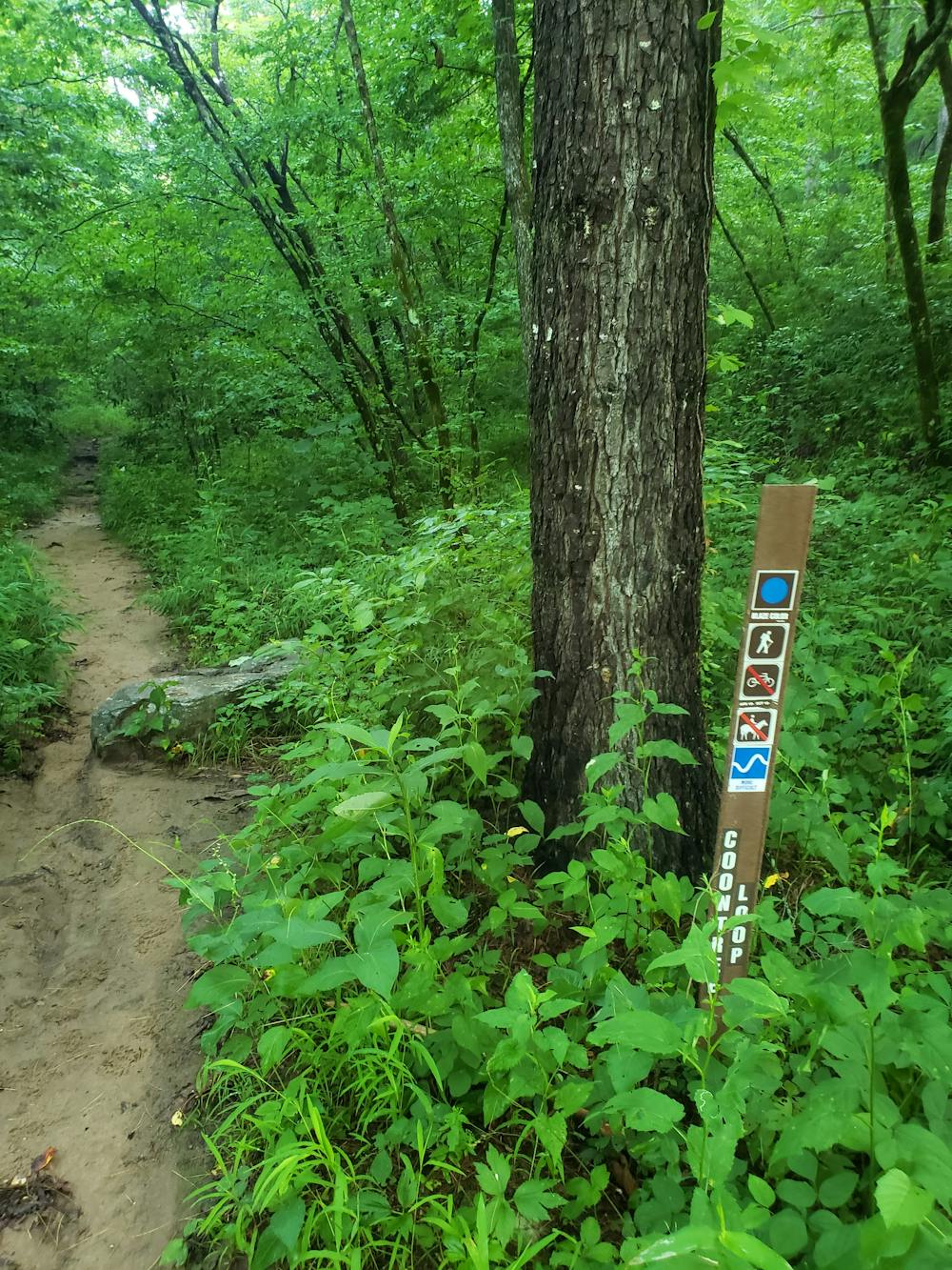
The run begins at the Coontree Picnic Area along US-276. It's a short drive from Brevard and Looking Glass Falls is just up the road. Drinking water and restrooms are available at the parking lot.
Leaving the parking area, look across the road for a quaint trailhead sign denoting the start of the loop. The run, which forms a "lollipop" shape begins and ends here. The loop can be run in either direction, both starting with a gradual climb to the ridge.
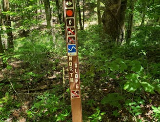
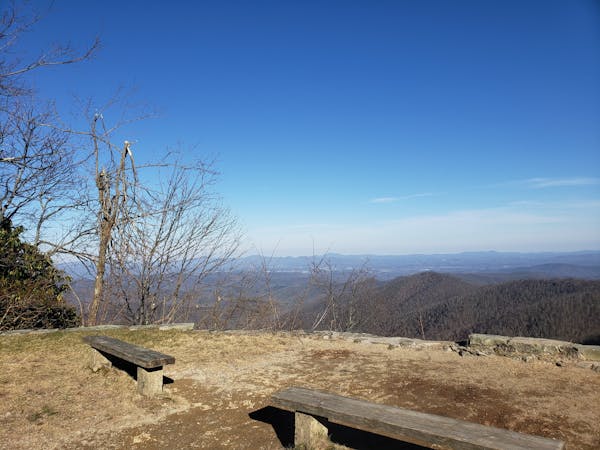
At the top, the Coontree Loop follows Bennett Gap Trail along a ridge to form the loop. While this trail is only open seasonally to mountain bikes, Bennett Gap is open year round and quite popular among downhill mountain bikers.
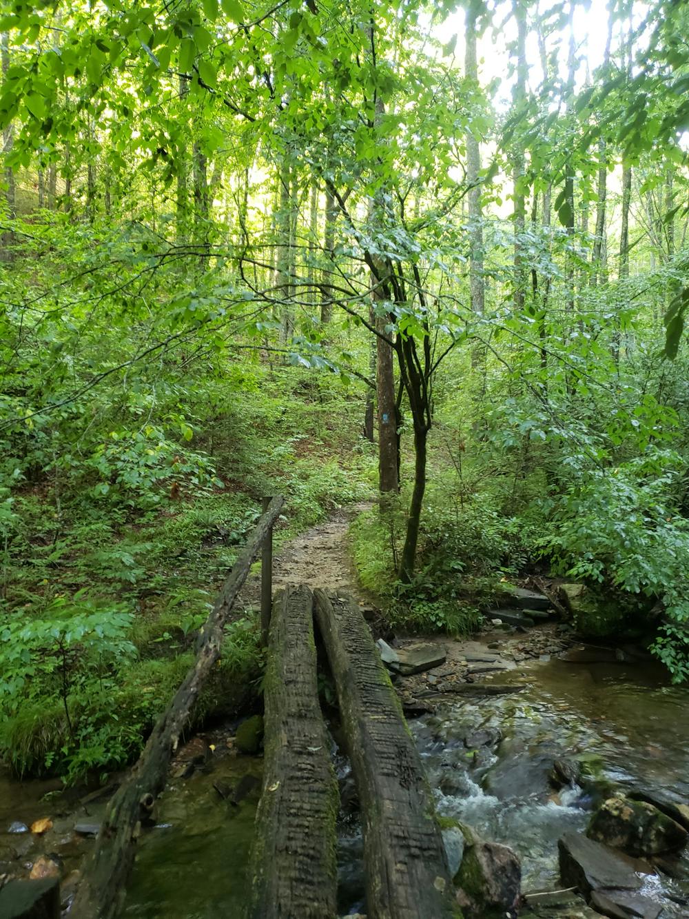
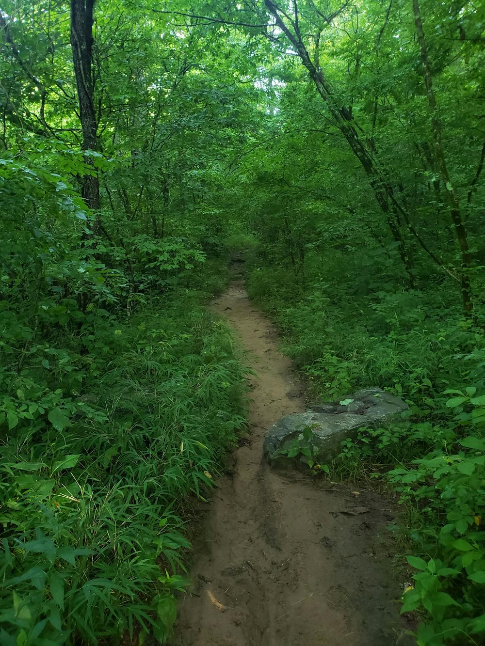
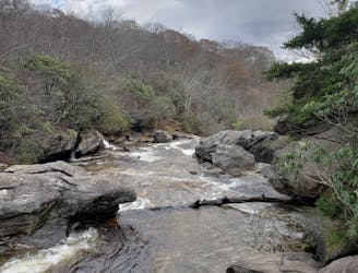
Along the way, expect plenty of wildflowers in the spring and summer months, and the year-round mountain laurel and rhododendron that blanket the trail. Several small, cascading waterfalls are also fun to explore and great for cooling off in the heat of the summer.
Moderate

The trail contains some obstacles such as outcroppings and rock which could cause injury.

Little chance of being seen or helped in case of an accident.
2.7 km away
A classic trail run from the fish hatchery with phenomenal views from John Rock.
Moderate Trail Running
2.7 km away
An incredibly challenging trail run requiring the use of fixed ropes to ascend Cedar Rock Mountain.
Extreme Trail Running
3.9 km away

A short, quiet trail running loop near town.
Moderate Trail Running
3.9 km away
A challenging trail run through dense tunnels of rhododendron.
Difficult Trail Running
6 km away
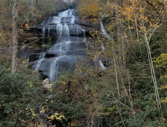
A staple trail running loop with a 150' cascading waterfall.
Moderate Trail Running
7.2 km away
A beautiful, relatively flat run through the historic Pink Beds Valley.
Easy Trail Running
8.4 km away
A classic trail run in a high mountain valley with two waterfalls.
Moderate Trail Running
9.8 km away
A challenging and incredibly-steep approach to Shining Rock.
Severe Trail Running
12 routes · Trail Running
6 routes · Trail Running