3.2 km away
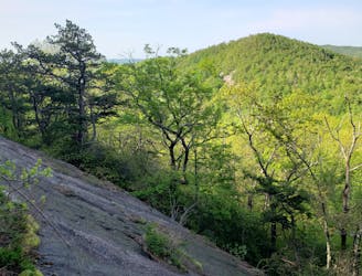
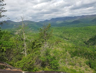
Sam's Knob and Black Balsam Knob
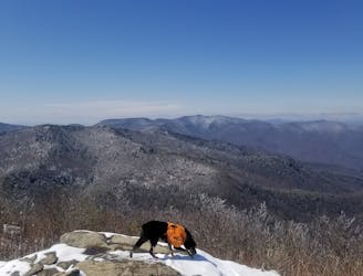
An incredible trail run across bald summits and exposed overlooks.
Difficult Trail Running
- Distance
- 22 km
- Ascent
- 661 m
- Descent
- 661 m
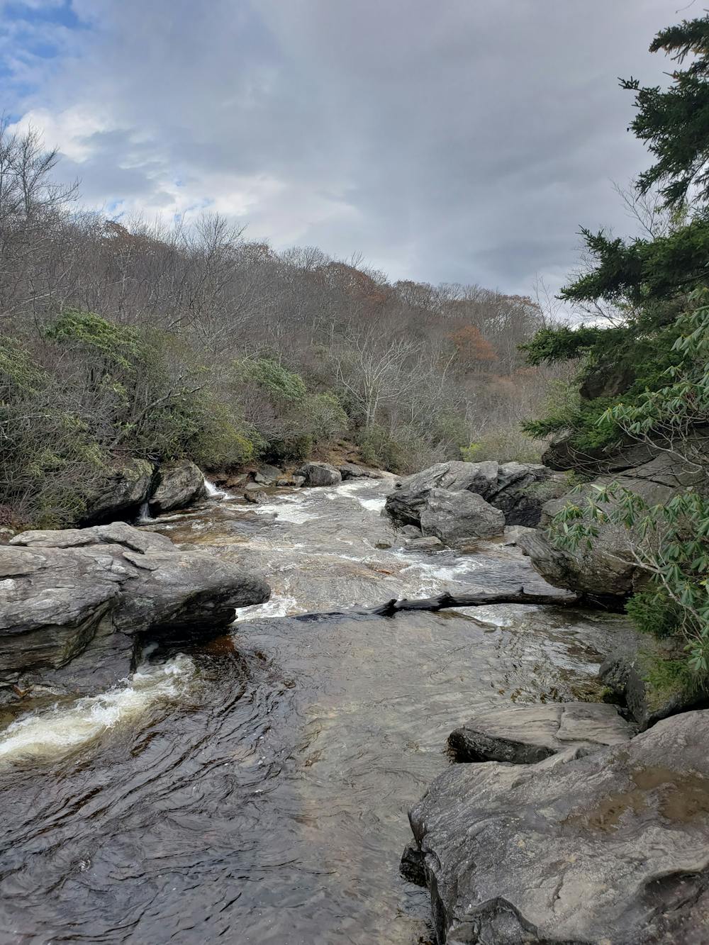
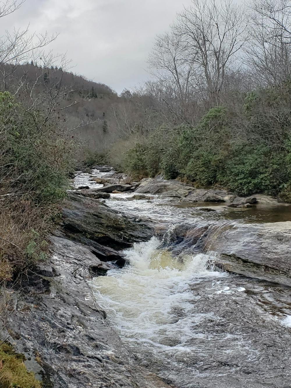
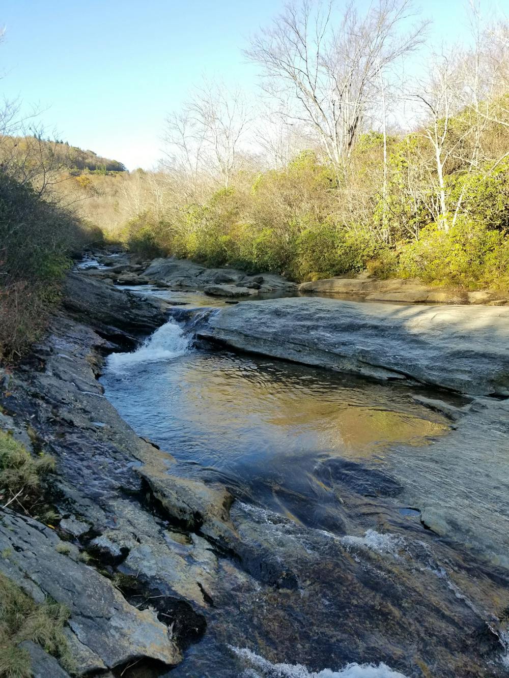
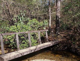
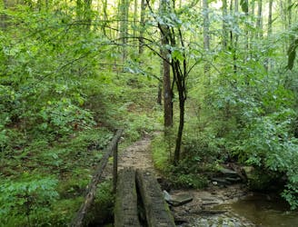
A classic trail run in a high mountain valley with two waterfalls.
Trail Running Moderate

Graveyard Fields is one of the more popular spots on the Blue Ridge Parkway in Pisgah National Forest - and it's not hard to see why. Over 5,000' above sea level, this flat mountain valley is known for its incredibly serene and beautiful waterfalls that pass through forming the headwaters of the Yellowstone Prong of the Pigeon River.
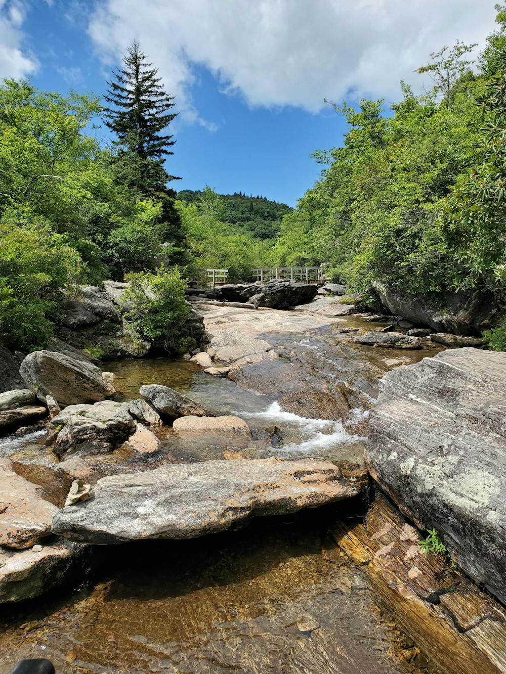
According to Wikipedia, "The valley's name may originate from a time when a great windstorm fell hundreds of spruce and fir trees on its slopes. These moss-covered stumps resembled graves. Another theory says that extensive logging during the early 1900s left stumps behind. Mosses and lichens grew on the stumps, resembling an overgrown graveyard." Large logging operations also ravaged the region in the 1,900's and multiple forest fires have left large clearings (and new vistas) in their wake.
This is a beginner friendly trail run, but you should get an early start to your day to make sure you can get a parking spot. Vault toilets and a kiosk with information can be found at at the trailhead. Should the parking area be full, park at the picnic area due west on the Blue Ridge Parkway and walk to the trailhead.
This loop can be explored in countless ways, with endless side trails leading to smaller cascades or swimming holes. The official Graveyard Fields Loop is well marked and an easy run, but the trek up the Upper Falls Trail is well worth the extra time.
Moderate

The trail contains some obstacles such as outcroppings and rock which could cause injury.
Away from help but easily accessed.
3.2 km away
An incredible trail run across bald summits and exposed overlooks.
Difficult Trail Running
4.3 km away
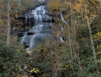
A staple trail running loop with a 150' cascading waterfall.
Moderate Trail Running
5.8 km away
A challenging and incredibly-steep approach to Shining Rock.
Severe Trail Running
5.9 km away
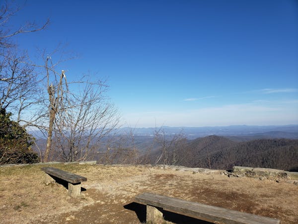
An all seasons route to one of the best views in Western North Carolina.
Severe Trail Running
6.4 km away
An incredibly challenging trail run requiring the use of fixed ropes to ascend Cedar Rock Mountain.
Extreme Trail Running
6.4 km away
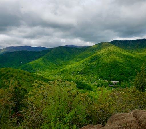
A classic trail run from the fish hatchery with phenomenal views from John Rock.
Moderate Trail Running
7.3 km away
A beautiful, relatively flat run through the historic Pink Beds Valley.
Easy Trail Running
8.4 km away
A short trail run originating at a picnic area along the Davidson River.
Moderate Trail Running
8.6 km away
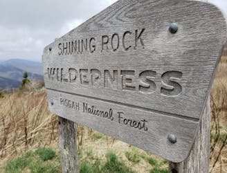
A iconic and scenic trail running route best known for its traverse through Shining Rock Wilderness.
Difficult Trail Running
9.7 km away
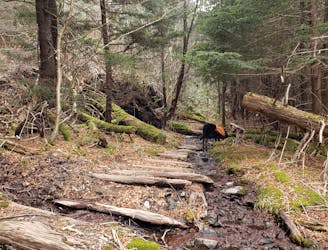
A lightly-traveled trail run through an old logging area turned wilderness.
Severe Trail Running
12 routes · Trail Running
6 routes · Trail Running

17 routes · Hiking · Trail Running

10 routes · Trail Running