Chisos Mountain Loop
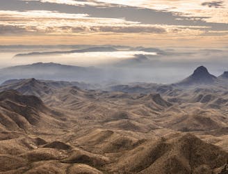
An incredible loop hike to Big Bend's dramatic South Rim.
Difficult Hiking
- Distance
- 22 km
- Ascent
- 892 m
- Descent
- 892 m
Go hiking in Texas with curated guides of the best hikes across the region. With over 132 3D trail maps in FATMAP, you can easily discover and navigate the best trails in Texas.
No matter what your next adventure has in store, you can find a guide on FATMAP to help you plan your next epic trip.
Get a top hiking trail recommendation in Texas from one of our 18 guidebooks, or get inspired by the 132 local adventures uploaded by the FATMAP community. Start exploring now!
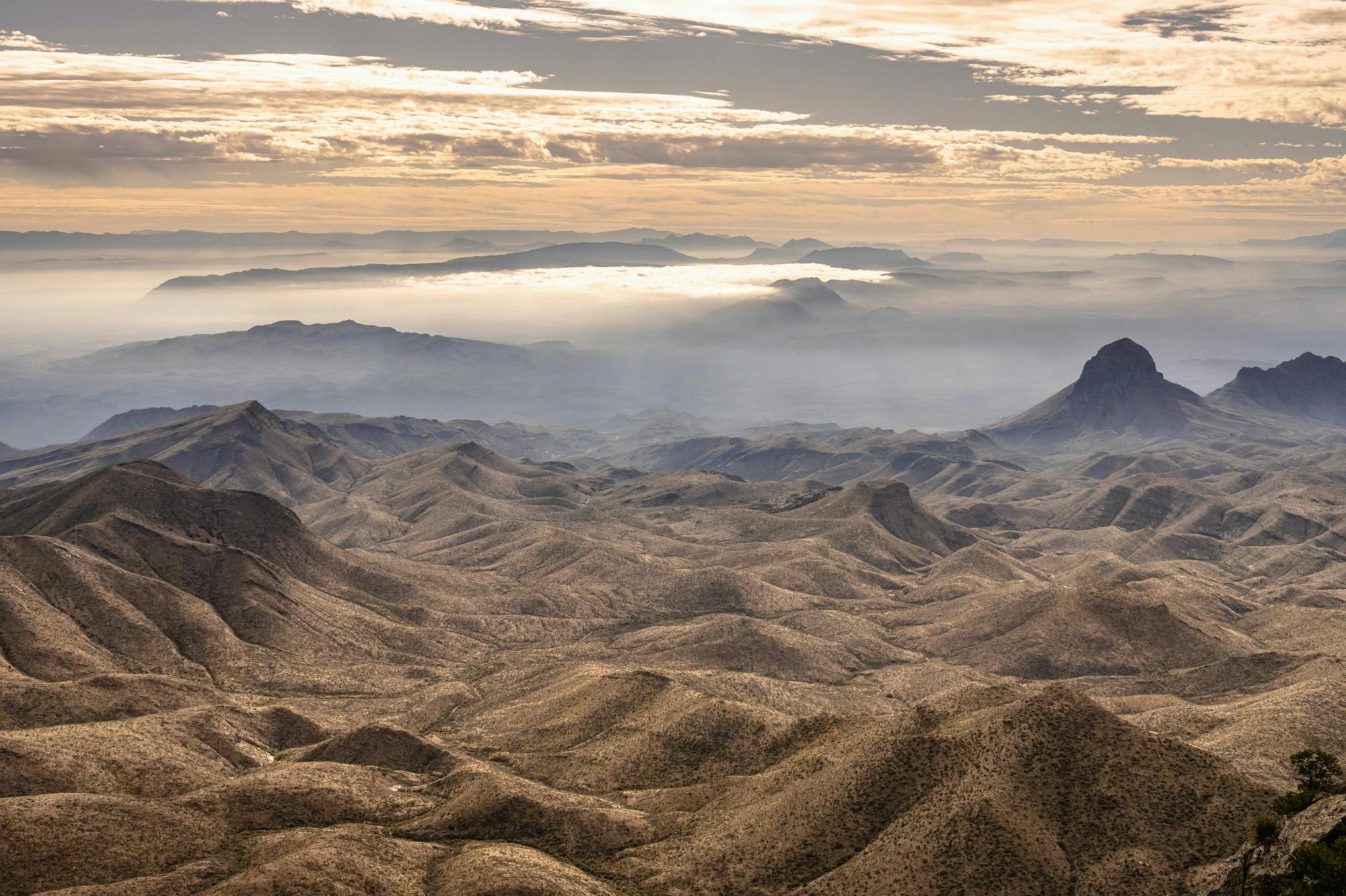
An incredible loop hike to Big Bend's dramatic South Rim.
Difficult Hiking
Gain stunning views off of Big Bend's elevated South Rim.
Difficult Hiking
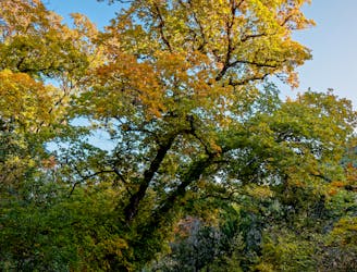
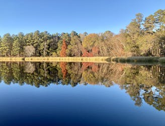
One of Texas's best hikes for fall colors!
Moderate Hiking
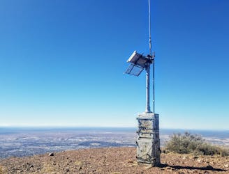
A 13.1-mile out-and-back to North Franklin Mountain, the highest peak in El Paso.
Difficult Hiking
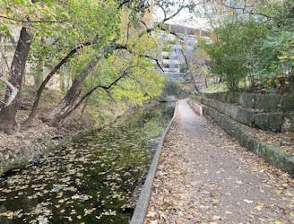
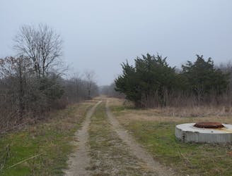
Traverse along a small creek and pass through serene parks, with skyscrapers towering overhead.
Easy Hiking
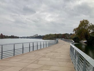
A fantastic loop around a beautiful lake in the heart of Austin
Easy Hiking
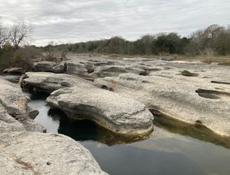
The Onion Creek Trail is a paved 3-mile loop through McKinney Falls State Park that provides a scenic jaunt through this beautiful forest found inside Austin's city limits.
Easy Hiking
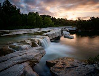
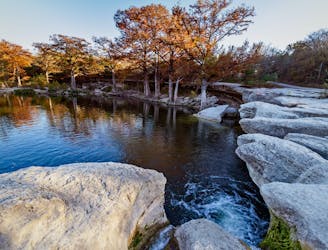
Enjoy a pair of gorgeous waterfalls dropping off of limestone ledges into serene pools below.
Moderate Hiking
Hike through the depths of McKinney Falls State Park on beautiful singletrack trails.
Moderate Hiking
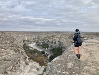
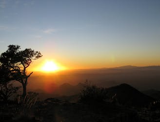
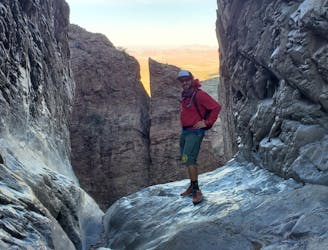
Hike along a scenic rock rim and then reach the US/Mexico border!
Difficult Hiking
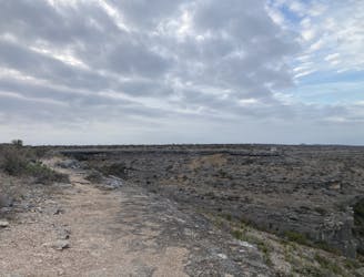
A rewarding out-and-back hike to an overlook of a canyon confluence.
Moderate Hiking
An idyllic hike along the shores of a lake.
Easy Hiking
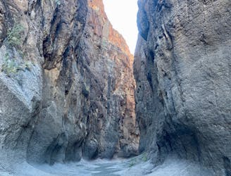
Hike down a short but stunning slot canyon in Big Bend Ranch State Park.
Moderate Hiking
The most popular trail in the Chisos Basin.
Difficult Hiking
A long day hike on the 25+ mile Trinity Trail that visits the largest known sycamore tree in Texas.
Moderate Hiking

A relaxing nature trail through forested wetlands, with partial views of Lake Ray Hubbard at its furthest point.
Easy Hiking