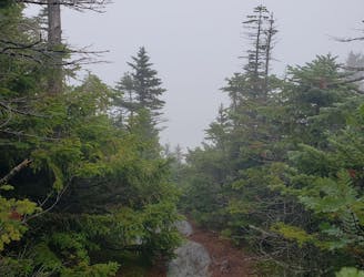
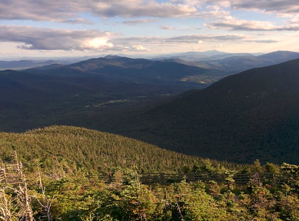
Long Trail: VT-125 to Winooski River

Multiple ridgetop traverses showcasing some of the best views on the entire trail.
Severe Hiking
- Distance
- 71 km
- Ascent
- 3.7 km
- Descent
- 4.3 km

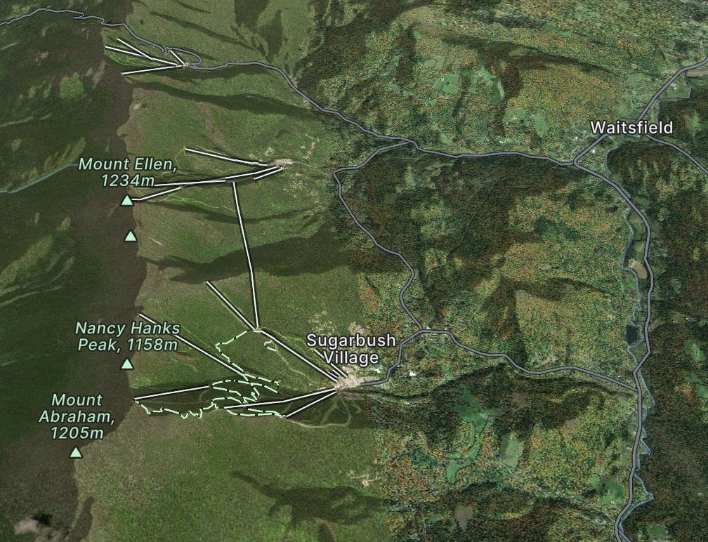
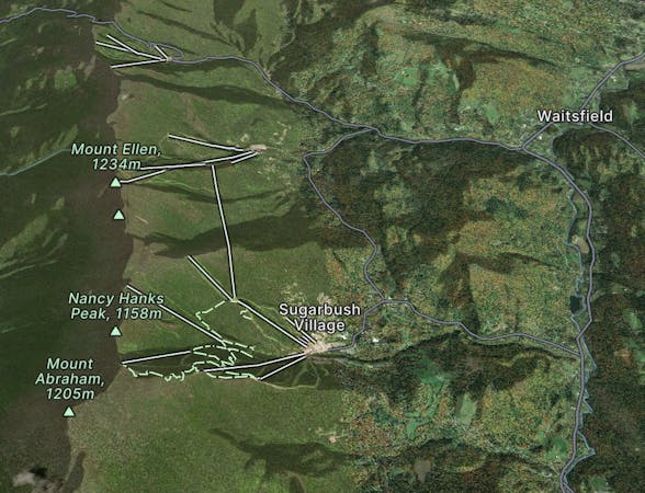
With 600 skiable acres plus 2,000 acres of steep backcountry, Sugarbush has something for everyone.
Explore Sugarbush with curated guides of the best ski routes, and more. With over 30 3D trail maps in FATMAP, you can easily discover and navigate the best trails in Sugarbush.
No matter what your next adventure has in store, you can find a guide on FATMAP to help you plan your next epic trip.
Get a top trail recommendation in Sugarbush from one of our 1 guidebooks, or get inspired by the 30 local adventures uploaded by the FATMAP community. Start exploring now!


Multiple ridgetop traverses showcasing some of the best views on the entire trail.
Severe Hiking

A low angle hardwood glade that begins after the official end of Sap Line
Moderate Freeride Skiing

A tight little chute above Egan’s Woods
Moderate Freeride Skiing

A short dip into the woods between Fox and Vixen
Moderate Freeride Skiing

A short, low angle glade next to Fox
Moderate Freeride Skiing

A sidestep/bootpack to Bear Claw and The Church
Moderate Freeride Skiing

A complex maze of chutes, trees and cliffs for experienced skiers.
Difficult Freeride Skiing

A serious chute involving 3 large airs.
Severe Freeride Skiing

9 routes · Hiking