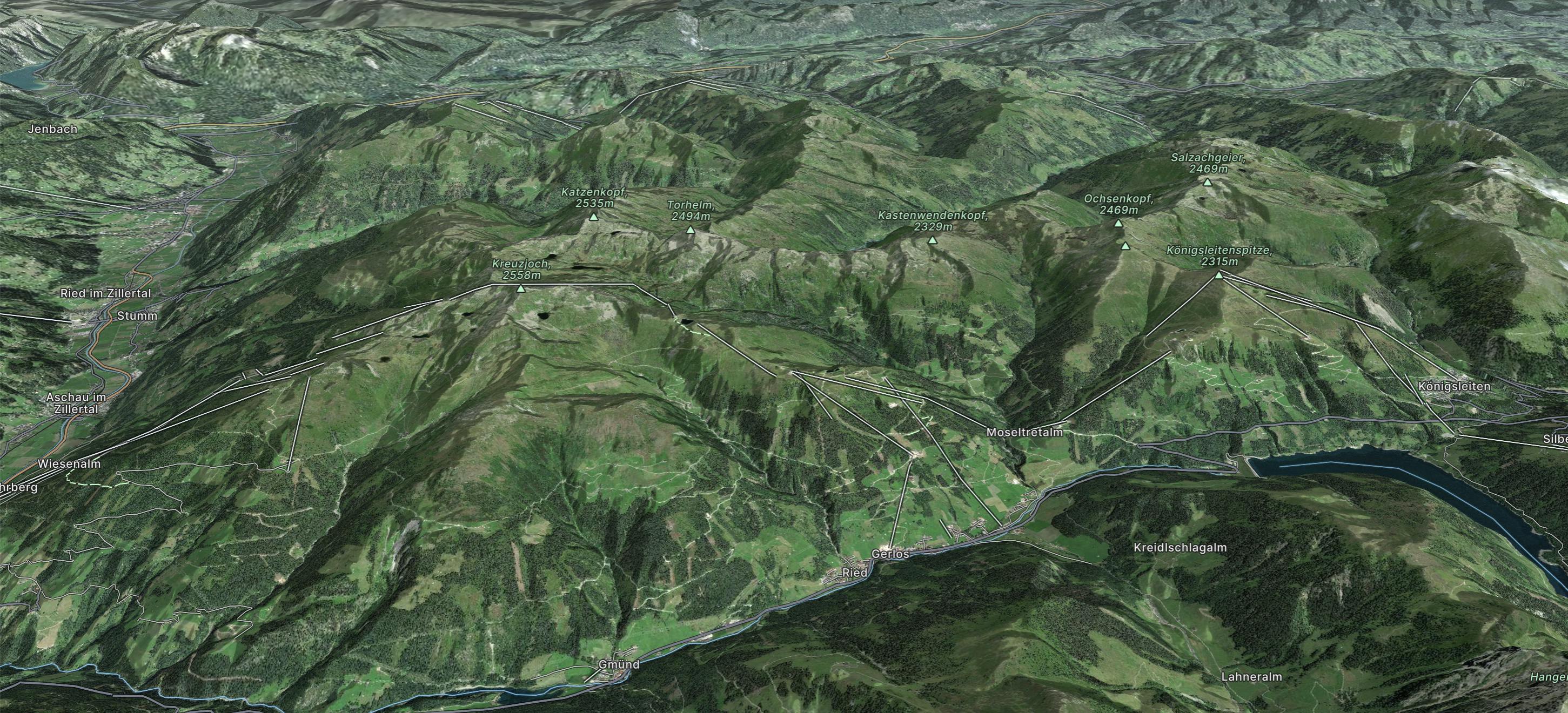
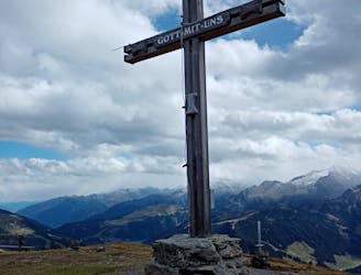
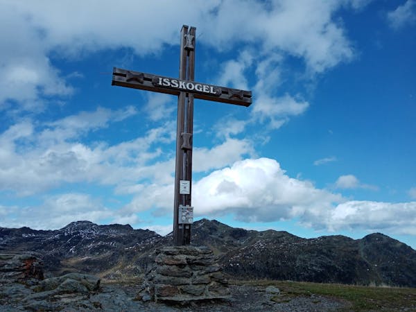
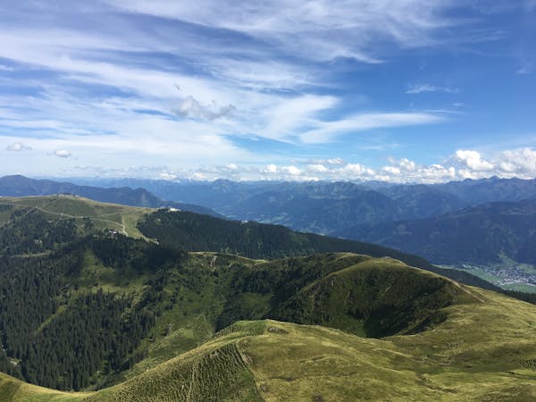
Königsleitenspitze
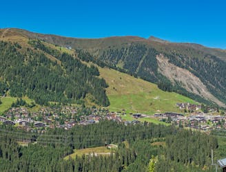
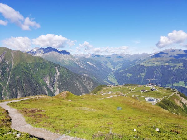
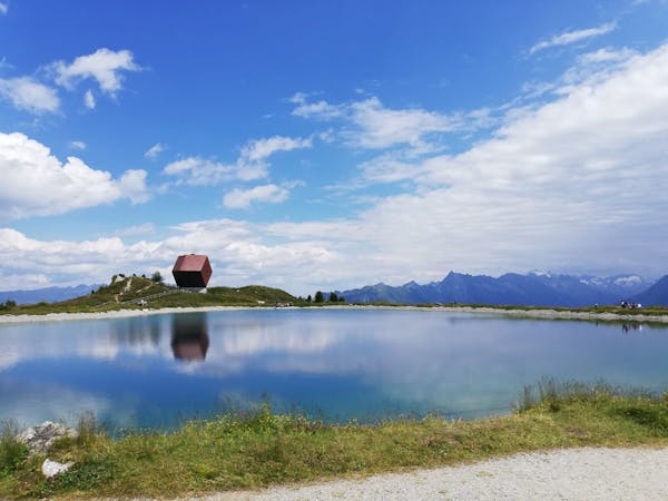
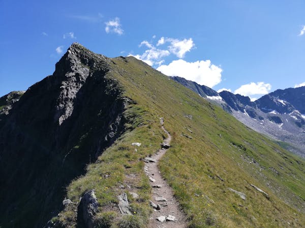
A wonderful loop along a stunning ridge.
Moderate Hiking
- Distance
- 7.2 km
- Ascent
- 491 m
- Descent
- 491 m
Go hiking in Zillertal Arena with curated guides of the best hikes across the region. With over 14 3D trail maps in FATMAP, you can easily discover and navigate the best trails in Zillertal Arena.
No matter what your next adventure has in store, you can find a guide on FATMAP to help you plan your next epic trip.
Get a top hiking trail recommendation in Zillertal Arena from one of our 13 guidebooks, or get inspired by the 14 local adventures uploaded by the FATMAP community. Start exploring now!
A wonderful loop along a stunning ridge.
Moderate Hiking
A fabulous, long trip into a wild mountain range.
Difficult Hiking
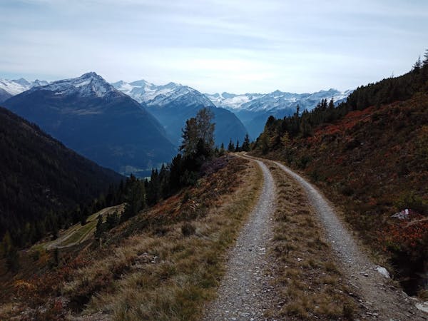
A beautifully positioned peak opposite the glaciated mountains of the Hohe Tauern National Park.
Difficult Hiking
The hike your kids will never want to end!
Easy Hiking
A lovely half day cruise to a well-positioned summit.
Moderate Hiking
3 routes · Hiking
3 routes · Hiking
8 routes · Mountain Biking · Hiking · Road Biking
5 routes · Hiking
5 routes · Mountain Biking · Hiking

25 routes · Hiking
8 routes · Hiking
8 routes · Mountain Biking · Hiking · Road Biking