4 m away
Zell Am Ziller Family Loop
The hike your kids will never want to end!
Easy Hiking
- Distance
- 2.5 km
- Ascent
- 108 m
- Descent
- 111 m
A lovely half day cruise to a well-positioned summit.
Hiking Moderate

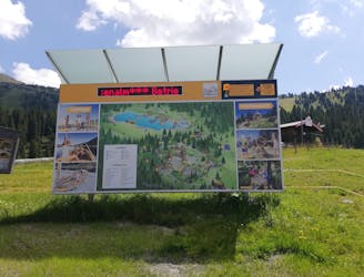
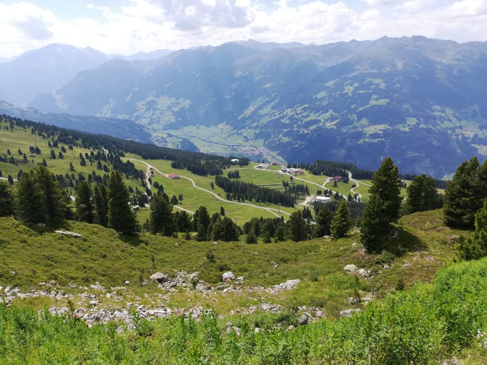
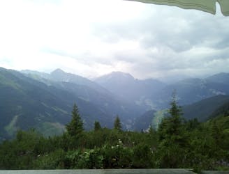
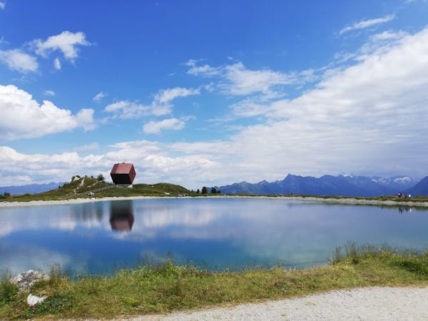
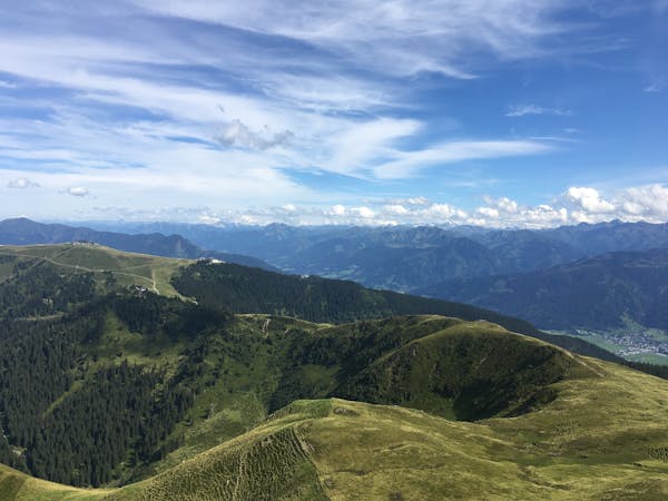
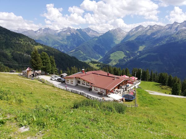
With its maze of paths and huge views across the central part of the Zillertal, the Rosenalmbahn gondola - accessed from Zell am Ziller - is a great place for a stress-free hike. There are paths everywhere and the lift station is visible from most of them so you can wander around without too much stress and simply enjoy the ambience. If you're looking for a specific objective, but still don't want anything too stressful, the Karspitz is a good option - it's long enough that climbing it will mean you've earned some calories in a mountain hut but there's no technicality and it's short enough to be done in a morning.
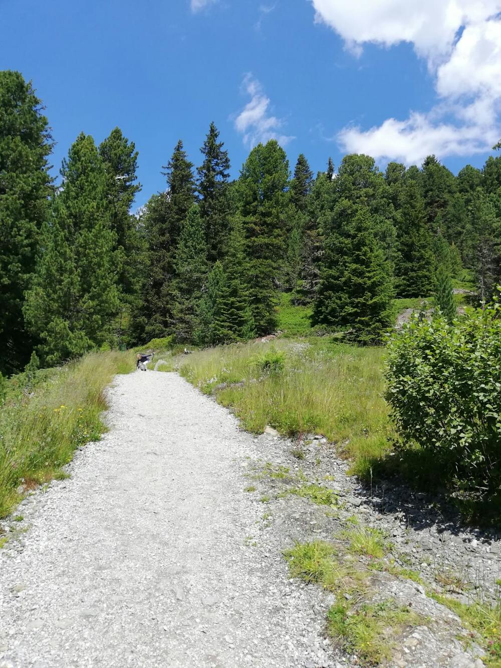
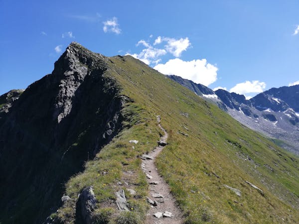
There are a myriad of ways of getting to the foot of the peak - including following a jeep track which could be ridden on a bike - but the route shown here takes you up some hiking varied paths and away from the crowds. The Rosenalmbahn gondola is something of a tourist honeypot but you don't need to get far into this route to find some solitude - the number of people around decreases incredibly quickly once you're more than a 10 minute hike away from the gondola station.
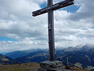
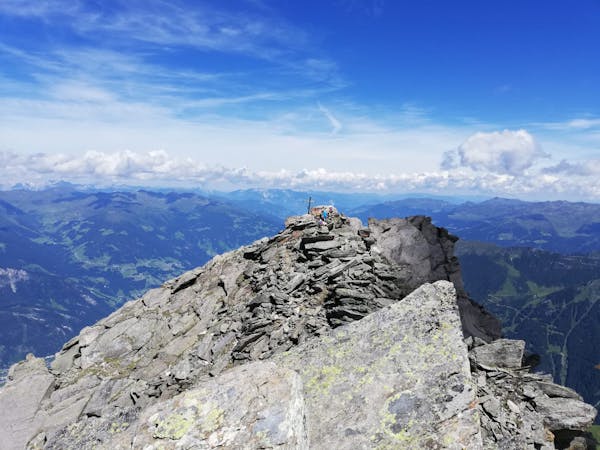
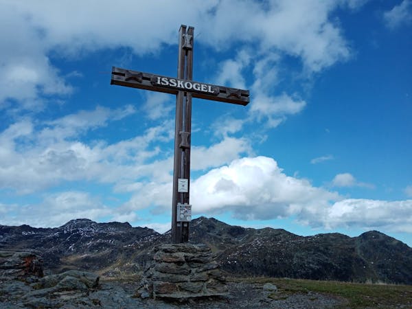
The best way of climbing the Karspitz is to traverse it and that's how we've shown it here. The ascent is never hard but it gets all the sun going so be prepared to get a sweat on if you climb it on a hot day! The view from the top is special, with not only the Zillertal peaks visible but also the wild mountains of the Tauern region dominating the panorama to the south-east.
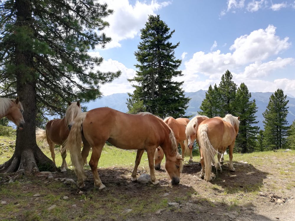
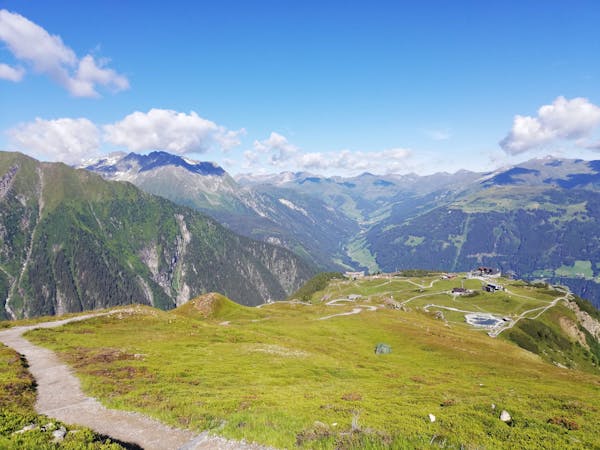
From the summit, head off down the other side of the peak, swing around towards the gondola station and head down to one of the many gorgeous mountain huts in the region before carrying on down to the lift itself.
Moderate
Hiking along trails with some uneven terrain and small hills. Small rocks and roots may be present.

The trail contains some obstacles such as outcroppings and rock which could cause injury.
Away from help but easily accessed.
4 m away
The hike your kids will never want to end!
Easy Hiking
7.1 km away
A beautifully positioned peak opposite the glaciated mountains of the Hohe Tauern National Park.
Difficult Hiking
8.2 km away

An amazing hike/scramble in the heart of the Zillertal.
Severe Hiking
9.6 km away
A tough climb up to a traditional Austrian mountain hut.
Difficult Hiking
3 routes · Hiking
3 routes · Hiking
6 routes · Hiking
8 routes · Mountain Biking · Hiking · Road Biking
5 routes · Hiking

25 routes · Hiking
8 routes · Hiking
8 routes · Mountain Biking · Hiking · Road Biking