2.9 km away
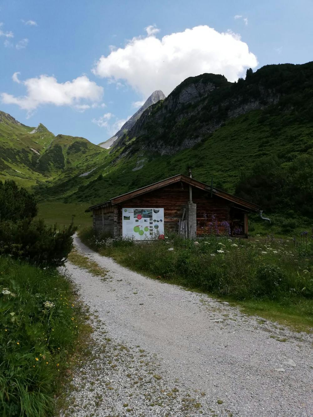
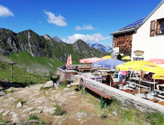
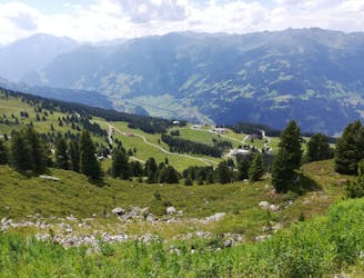
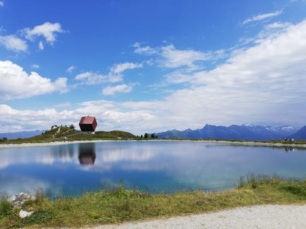
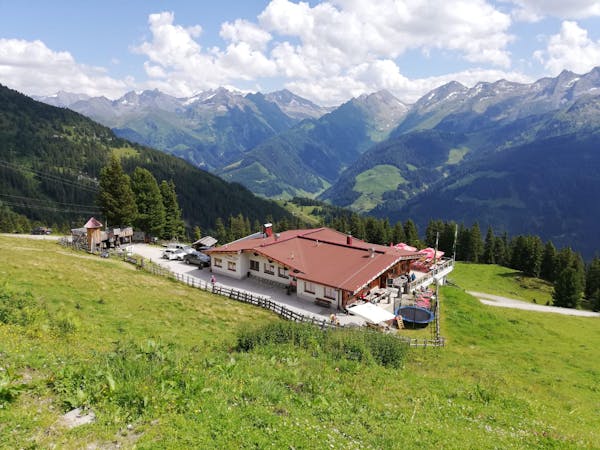
Kolmhaus Hike
A tough climb up to a traditional Austrian mountain hut.
Difficult Hiking
- Distance
- 7.6 km
- Ascent
- 762 m
- Descent
- 762 m
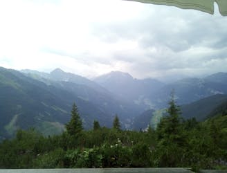
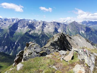
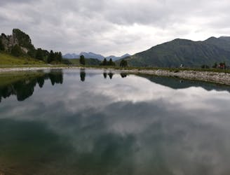
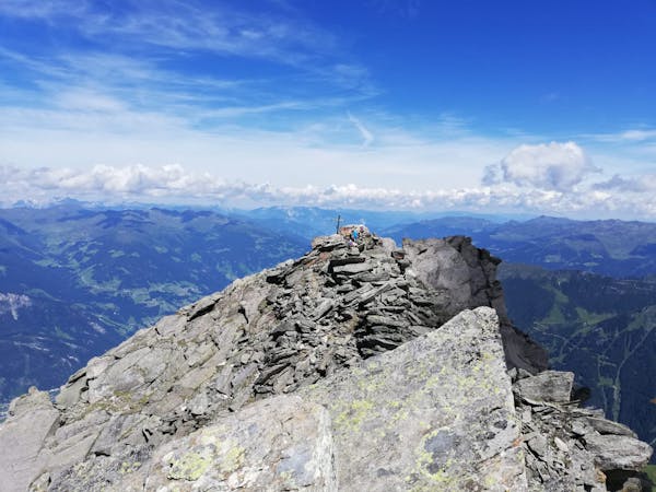
An amazing hike/scramble in the heart of the Zillertal.
Hiking Severe

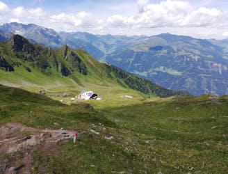
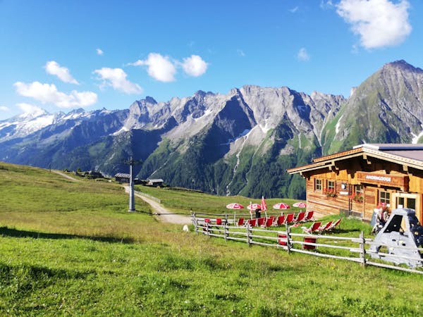
This is a brilliant peak which is climbed via a tough, varied and exciting route. The route starts at the Kolmhaus, which in turn is accessed by foot or bike. Doing the approach to the Kolmhaus and then summiting this peak on the same day makes for a huge day, so most people break up the trip with a night at the Kolmhaus, which - as you'll understand when you've visited it - is no chore.
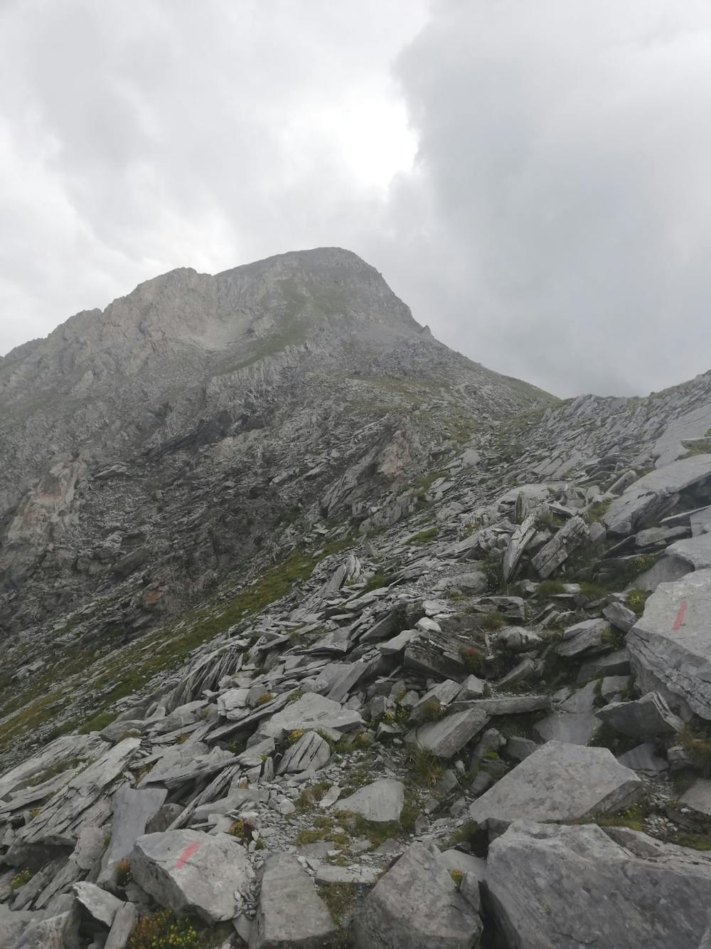

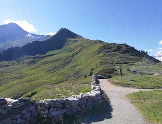
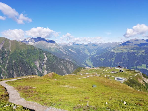
The path from the Kolmhaus to the summit begins in lovely alpine meadows and then begins climbing up - steeply in places - to a broad col due west of the summit. The ascent to the col is non-technical but it does take you across some scree and some steep, rocky sections of path.
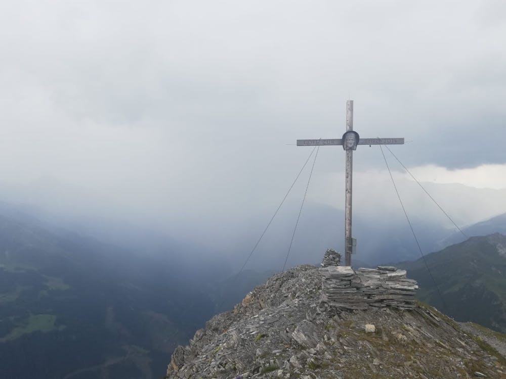
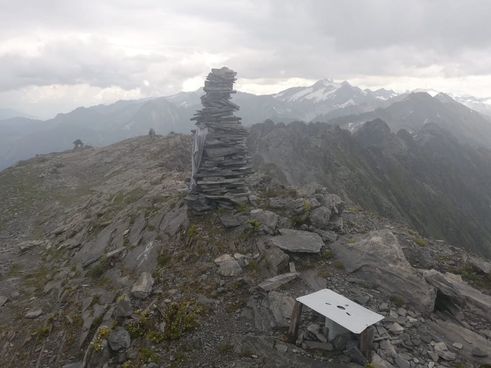
Turn left at the col and climb even more steeply towards the Brandberger Kolm's summit tower. Cross a scree slope and then zig zag up to the final part of the summit tower. Just below the summit there is very easy but exposed scrambling required for a couple of minutes, after which you emerge onto the Brandberger Kolm's summit ridge, 10 metres away from the summit cross. Stroll up to the top and soak in the fabulous view across the legendary peaks of the Zillertal. The final scramble is easy but would be slippery and potentially quite treacherous in wet conditions so avoid the peak if there is bad weather forecast.
The summit is utterly wild and feels amazingly remote so enjoy it for a while and then descend by the ascent route to the Kolmhaus and on down to Brandberg.
Severe
Hiking challenging trails where simple scrambling, with the occasional use of the hands, is a distinct possibility. The trails are often filled with all manner of obstacles both small and large, and the hills are very steep. Obstacles and challenges are often unexpected and can be unpredictable.

Some trail sections have exposed ledges or steep ascents/descents where falling could cause serious injury.
Little chance of being seen or helped in case of an accident.
2.9 km away
A tough climb up to a traditional Austrian mountain hut.
Difficult Hiking
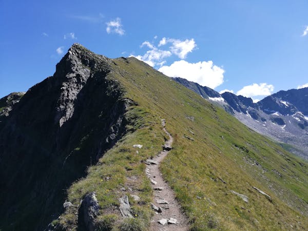
5.6 km away
A fabulous trip along a beautiful ridge.
Extreme Hiking
5.6 km away
The classic route up one of the Zillertal's most famous peaks.
Severe Hiking
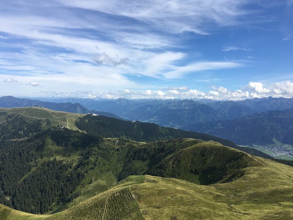
6.5 km away
An easy and popular summit which offers breathtaking views
Moderate Hiking
6.5 km away
A wonderful, high mountain loop to a popular hut.
Difficult Hiking
6.5 km away
A beautiful, buggy-friendly hike suitable for kids of all ages.
Easy Hiking
8.2 km away
The hike your kids will never want to end!
Easy Hiking
8.2 km away
A lovely half day cruise to a well-positioned summit.
Moderate Hiking
9.1 km away
A gorgeous, easy stroll along a famous ridge line.
Moderate Hiking
5 routes · Hiking
3 routes · Hiking
3 routes · Hiking
6 routes · Hiking
8 routes · Mountain Biking · Hiking · Road Biking

25 routes · Hiking
8 routes · Hiking
8 routes · Mountain Biking · Hiking · Road Biking