10 m away
Edelhütte
A wonderful, high mountain loop to a popular hut.
Difficult Hiking
- Distance
- 6.1 km
- Ascent
- 342 m
- Descent
- 342 m
A beautiful, buggy-friendly hike suitable for kids of all ages.
Hiking Easy
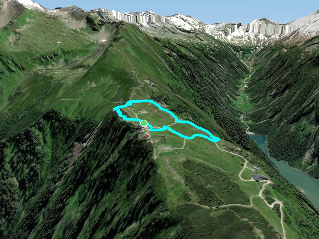
Hikes don't come much easier than this - if you want to get your kids into mountain sports then this is the place to do it. The exact line we've shown here isn't actually suitable for buggies in its entirety because it takes you to the Filzenalm, but this section is easy to skip out if you choose to.

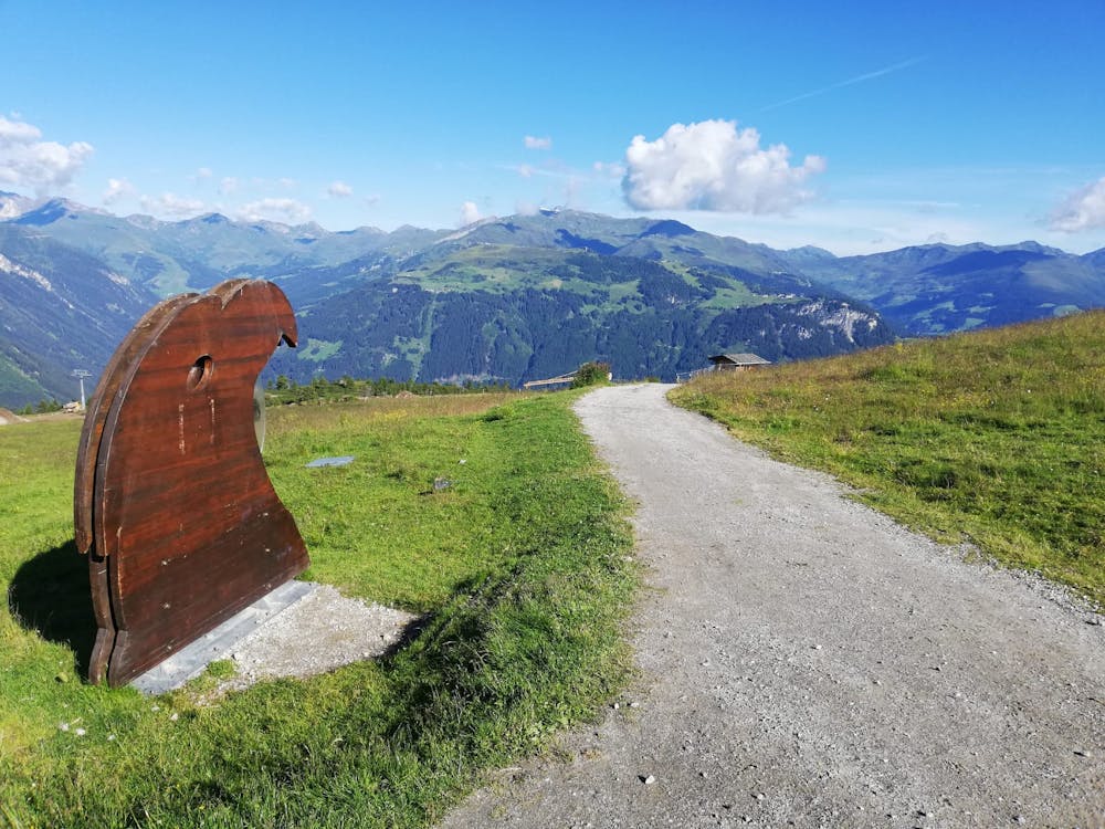
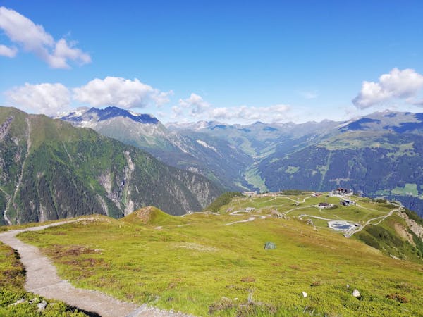
The hike starts at the top of the Ahornbahn cable car and there are countless variations - consider our line a rough guide rather than a fixed itinerary. It's easy to navigate around the various possible routes so simply study the various information signs and figure out which attractions appeal the most.
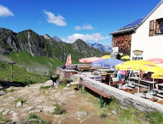
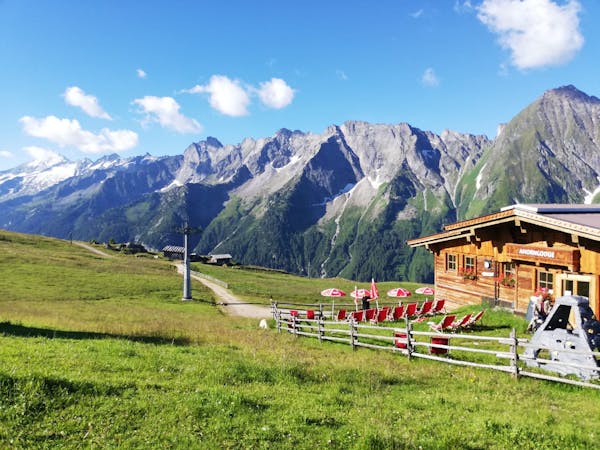
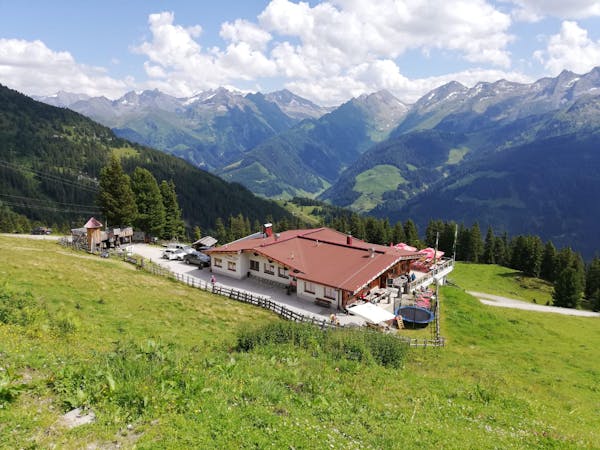
The first stop - regardless of which exact route you take - is the Ahornhütte; a beautiful and modern mountain hut. You won't have earned any calories by this stage but that doesn't mean you can't grab a quick coffee and a slice of cake before going any further.
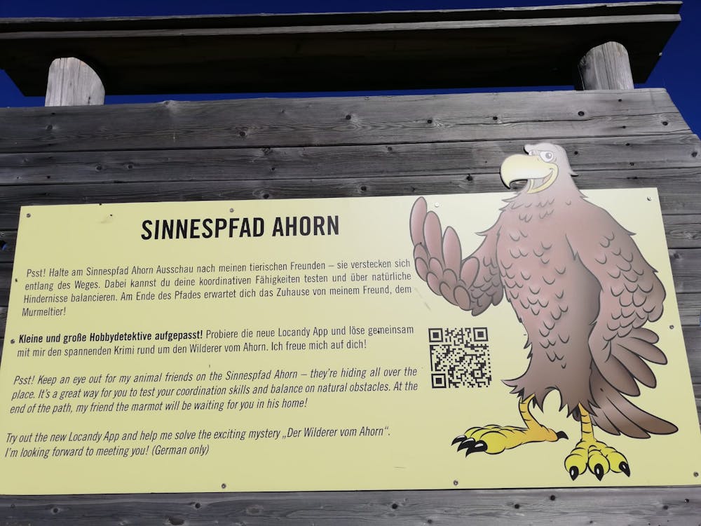
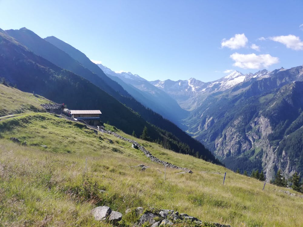
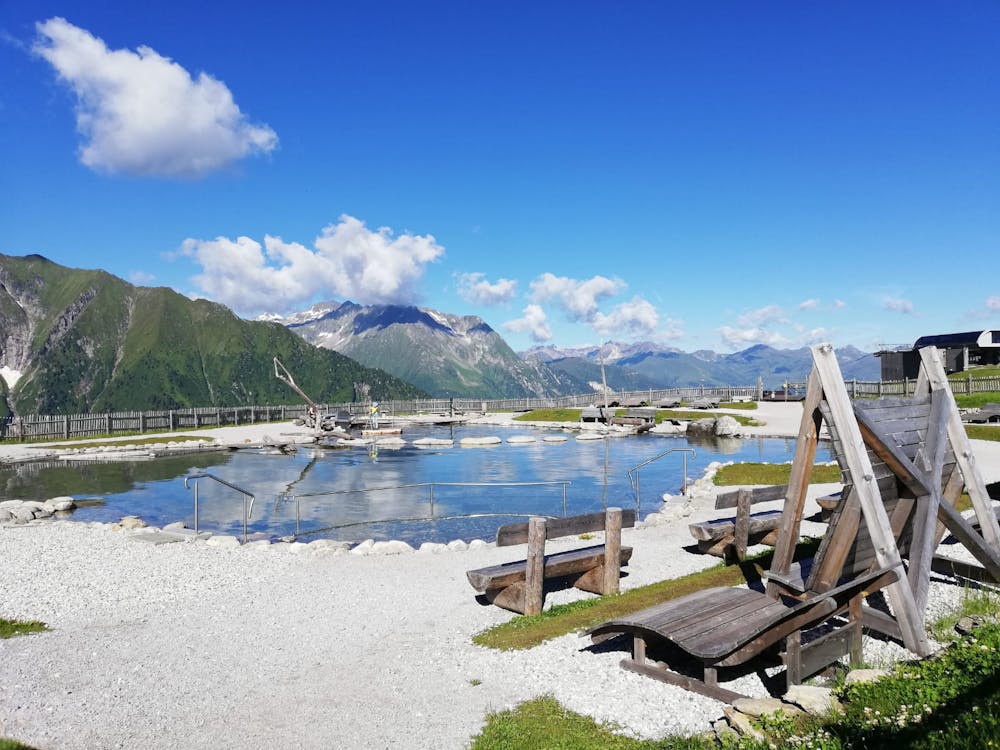
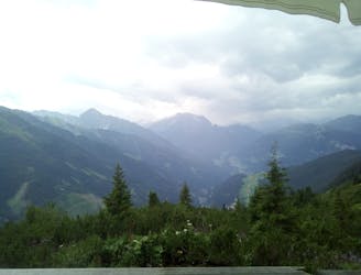
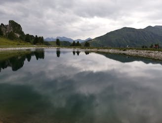
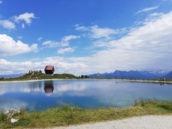
Once you do get hiking there are countless epic viewpoints, including metal platforms at 4 points - Eagle’s View, Zillertal, Stilluptal, and Filzenalm. Elsewhere you'll find a mountain playground for kids, a show farm at the Filzenalm and a fun little park where kids can look for and learn about "hidden" animals (which are actually copper models nestled in amongst the bushes). In addition, there's the rustic old Finzenalm farm itself and - at the highest point on the hike - the gorgeous Ahornsee. This is a popular spot to hang out and enjoy the sun and more hardy visitors swim in it too. Given that it sits at almost 2000 metres above sea level, taking a dip is not for the faint-hearted!
Stroll down past the Filzenstadl hut and then back to the Ahornbahn cable car.
Easy
Walking along a well-kept trail that’s mostly flat. No obstacles are present.

The path is on completely flat land and potential injury is limited to falling over.
Close to help in case of emergency.
10 m away
A wonderful, high mountain loop to a popular hut.
Difficult Hiking
23 m away
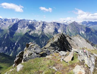
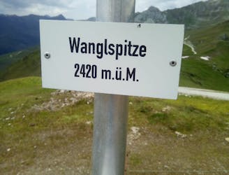
An easy and popular summit which offers breathtaking views
Moderate Hiking
2.1 km away
The classic route up one of the Zillertal's most famous peaks.
Severe Hiking
2.1 km away
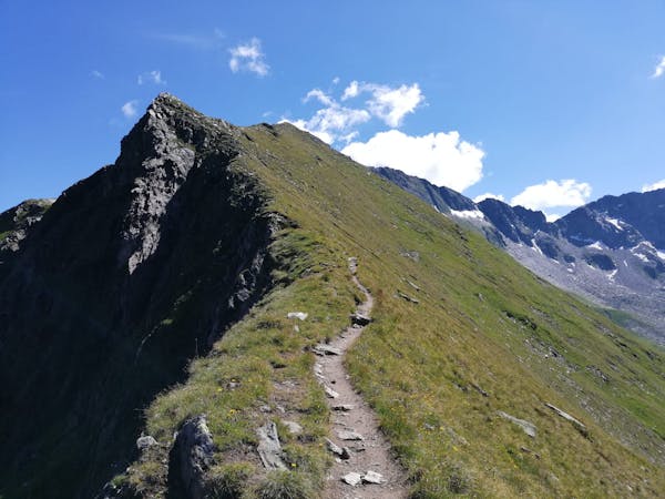
A fabulous trip along a beautiful ridge.
Extreme Hiking
4 km away
A tough climb up to a traditional Austrian mountain hut.
Difficult Hiking
6 km away
A gorgeous, easy stroll along a famous ridge line.
Moderate Hiking
6.4 km away
A fun little peak with exceptional views.
Moderate Hiking
6.5 km away

An amazing hike/scramble in the heart of the Zillertal.
Severe Hiking
5 routes · Hiking
3 routes · Hiking
3 routes · Hiking
6 routes · Hiking
8 routes · Mountain Biking · Hiking · Road Biking

25 routes · Hiking
8 routes · Mountain Biking · Hiking · Road Biking