10 m away
The Ahornbahn Leisure Trail
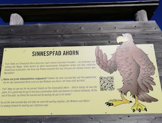
A beautiful, buggy-friendly hike suitable for kids of all ages.
Easy Hiking
- Distance
- 1.8 km
- Ascent
- 84 m
- Descent
- 84 m
A wonderful, high mountain loop to a popular hut.
Hiking Difficult

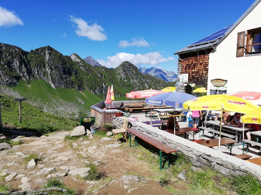
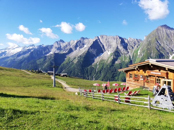
This is a great place to start on your exploration of the Zillertal's hiking trails as it provides a manageable physical challenge and enough difficulty that you can get to find your walking legs without overly taxing yourself. The fact that it takes you to a beautiful hut and beneath some dramatic peaks doesn't hurt either. This is a popular day trip but staying at the Edelhütte is also a good option for those who want to take their time climbing the nearby Ahornspitze peak.
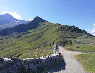
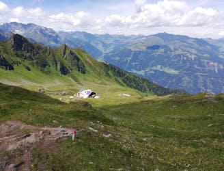
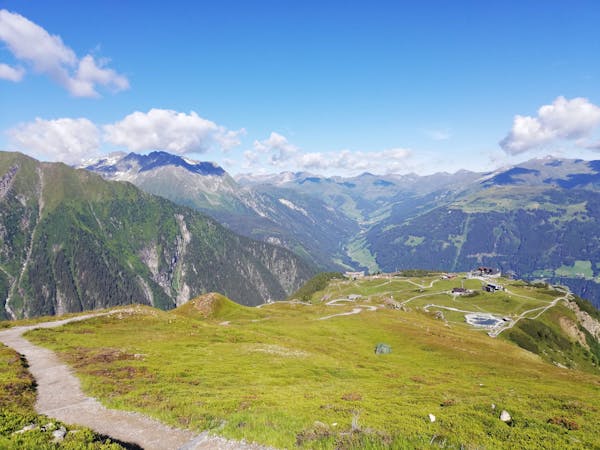
Start the day by riding the Ahronbahn cable car up from Mayrhofen and then hiking up a good path which leads south-east to a broad ridge just above the Ahornsee lake. From here there's a wooden archway to walk through and the hut is clearly signposted.
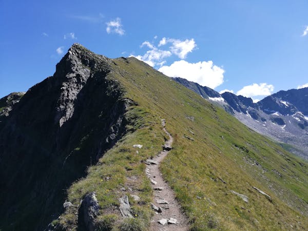
Descend a good path as it heads around a ridge then climbs steeply up and rightwards to where the 2 routes to the hut diverge. It's possible to take either one up but taking the righthand branch (as shown here) is marginally more aesthetic.
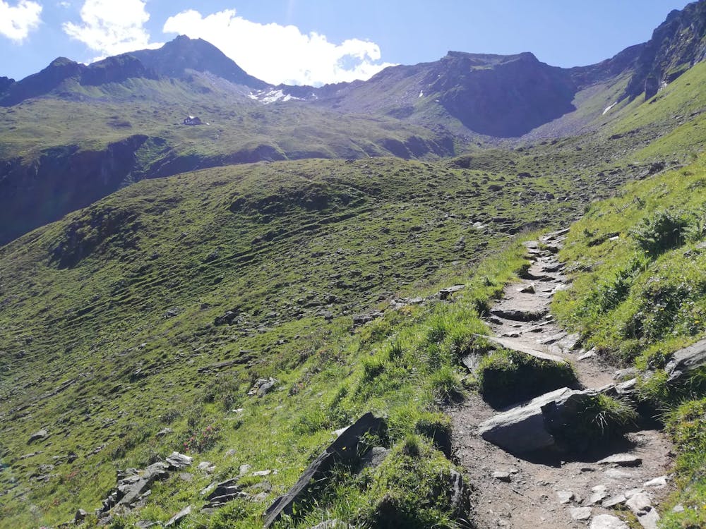
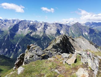
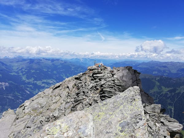
Follow the path as it climbs - via some steep and rocky sections - south-eastwards and then crosses a river and heads north-east directly to the hut. At times the path is tricky to negotiate and those without much hiking experience might even need to use their hands for very brief sections of scrambling.
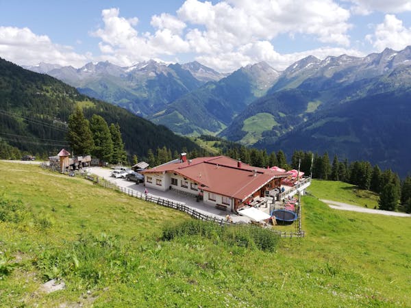
Upon arriving at the hut, grab a table and order a drink. There's the usual array of hot and cold beverages, and the standard high-quality Tirolian food on offer. Virtually all of the walk back to the Ahornbahn is downhill but there are some sections of ascent so restrain yourself somewhat and don't depart the hut too bloated!
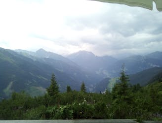
Leave the hut in a westerly direction and head down a couple of zig zags before making a long, descending traverse north and then west to the floor of a valley. Cross this, passing a bucolic little farm building midway across, and then climb back to the path junction and on to the Ahornbahn.
Difficult
Hiking trails where obstacles such as rocks or roots are prevalent. Some obstacles can require care to step over or around. At times, the trail can be worn and eroded. The grade of the trail is generally quite steep, and can often lead to strenuous hiking.

The trail contains some obstacles such as outcroppings and rock which could cause injury.
Away from help but easily accessed.
10 m away
A beautiful, buggy-friendly hike suitable for kids of all ages.
Easy Hiking
13 m away
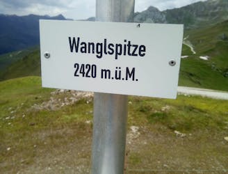
An easy and popular summit which offers breathtaking views
Moderate Hiking
2.2 km away
The classic route up one of the Zillertal's most famous peaks.
Severe Hiking
2.2 km away
A fabulous trip along a beautiful ridge.
Extreme Hiking
4 km away
A tough climb up to a traditional Austrian mountain hut.
Difficult Hiking
6 km away
A gorgeous, easy stroll along a famous ridge line.
Moderate Hiking
6.4 km away
A fun little peak with exceptional views.
Moderate Hiking
6.5 km away

An amazing hike/scramble in the heart of the Zillertal.
Severe Hiking
5 routes · Hiking
3 routes · Hiking
3 routes · Hiking
6 routes · Hiking
8 routes · Mountain Biking · Hiking · Road Biking

25 routes · Hiking
8 routes · Mountain Biking · Hiking · Road Biking