13 m away
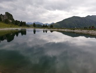
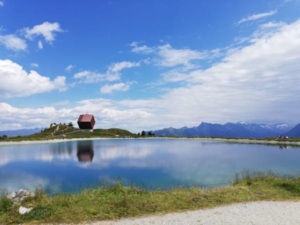
Edelhütte
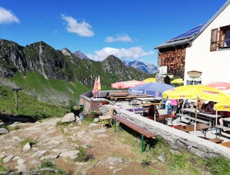
A wonderful, high mountain loop to a popular hut.
Difficult Hiking
- Distance
- 6.1 km
- Ascent
- 342 m
- Descent
- 342 m
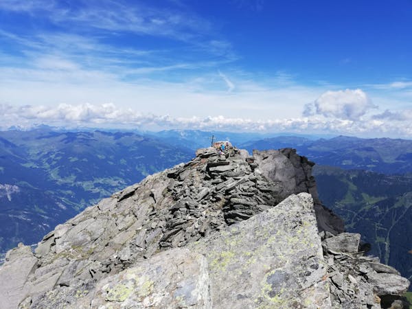
An easy and popular summit which offers breathtaking views
Hiking Moderate

This is a great little peak which offers rewards disproportionate to the efforts required to climb it. In return for "only" 255 vertical metres of height gain you'll find yourself sitting on a truly spectacular summit with views across the main Zillertal valley and to some of the areas biggest and best known peaks.
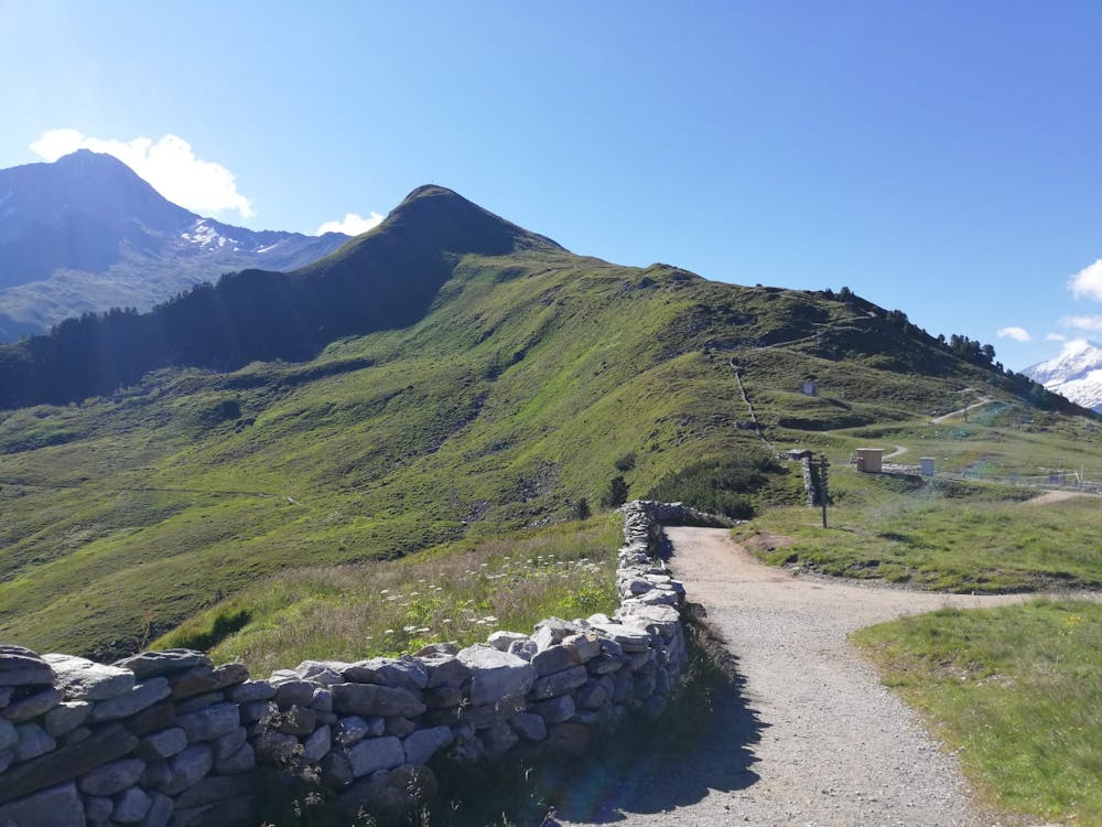

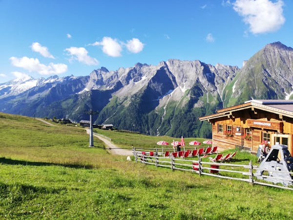
Start the day by riding the Ahronbahn cable car up from Mayrhofen and then hiking up a good path which leads south-east to a broad ridge just above the Ahornsee lake. From here the peak is immediately in front of you, and clearly signposted.
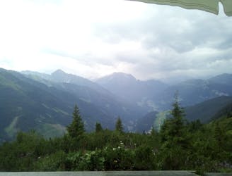
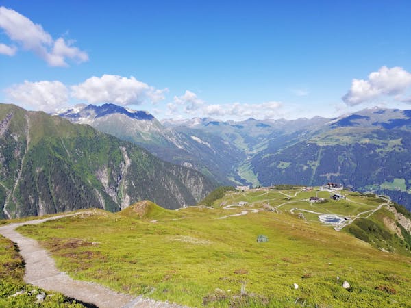
Get onto the wide, smooth and easy path which zig zags up to the summit in an ever-improving position, high above the Zillertal. There are no significant obstacles or landmarks on the ascent so just keep hiking and take plenty of pauses to take in the panorama.
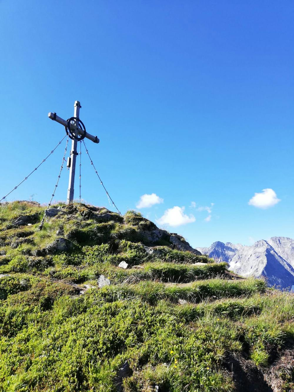
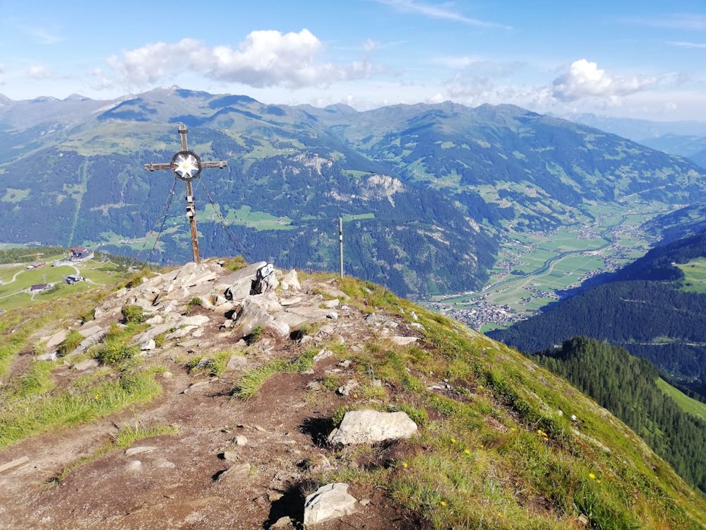
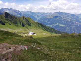
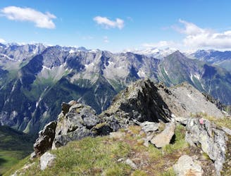
The final ascent to the summit is steeper than what's preceded it but the steep section is only brief and you'll soon find yourself standing next to the Filzenkogel's large, metal summit cross. The view is absolutely staggering, with the nearby Ahornspitze dominating the panorama to the east (and the Edelhütte visible too) and some of the Zillertal's glaciated giants such as the Großer Löffler looking formidable and somewhat intimidating to the south. To the west is the Penkenbahn cable car and due north is the main Zillertal valley. It all adds up to something pretty special!
With 100s of photos taken, descend via the ascent route back to the Ahornsee and on to the cable car station.
Moderate
Hiking along trails with some uneven terrain and small hills. Small rocks and roots may be present.

The path is on completely flat land and potential injury is limited to falling over.

Away from help but easily accessed.
13 m away
A wonderful, high mountain loop to a popular hut.
Difficult Hiking
23 m away
A beautiful, buggy-friendly hike suitable for kids of all ages.
Easy Hiking
2.2 km away
The classic route up one of the Zillertal's most famous peaks.
Severe Hiking
2.2 km away
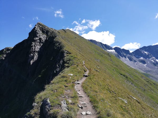
A fabulous trip along a beautiful ridge.
Extreme Hiking
4 km away
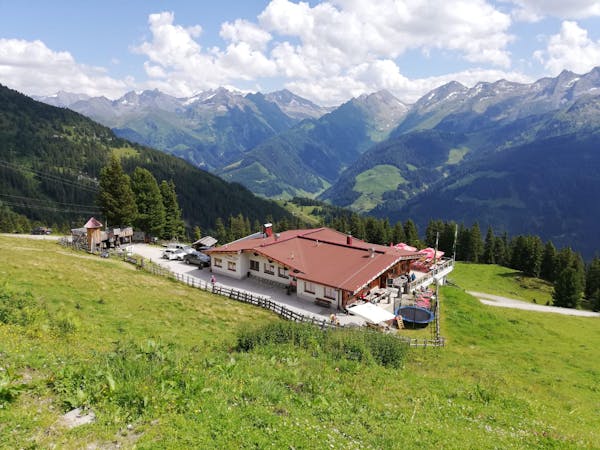
A tough climb up to a traditional Austrian mountain hut.
Difficult Hiking
6 km away
A gorgeous, easy stroll along a famous ridge line.
Moderate Hiking
6.4 km away
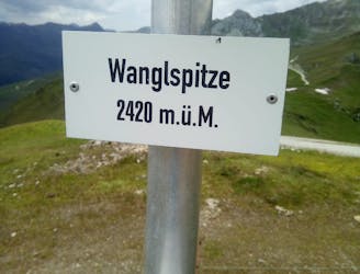
A fun little peak with exceptional views.
Moderate Hiking
6.5 km away

An amazing hike/scramble in the heart of the Zillertal.
Severe Hiking
5 routes · Hiking
3 routes · Hiking
3 routes · Hiking
6 routes · Hiking
8 routes · Mountain Biking · Hiking · Road Biking

25 routes · Hiking
8 routes · Mountain Biking · Hiking · Road Biking