1.4 km away
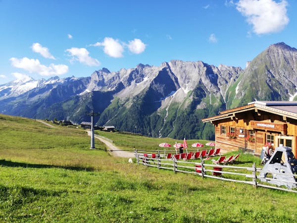
Penkenbahn to Penkenjoch
A gorgeous, easy stroll along a famous ridge line.
Moderate Hiking
- Distance
- 5.4 km
- Ascent
- 198 m
- Descent
- 198 m
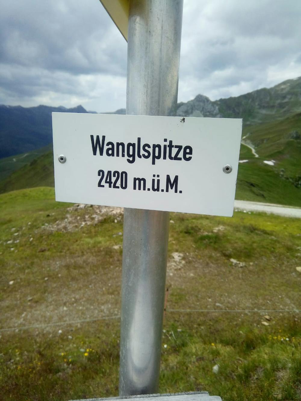
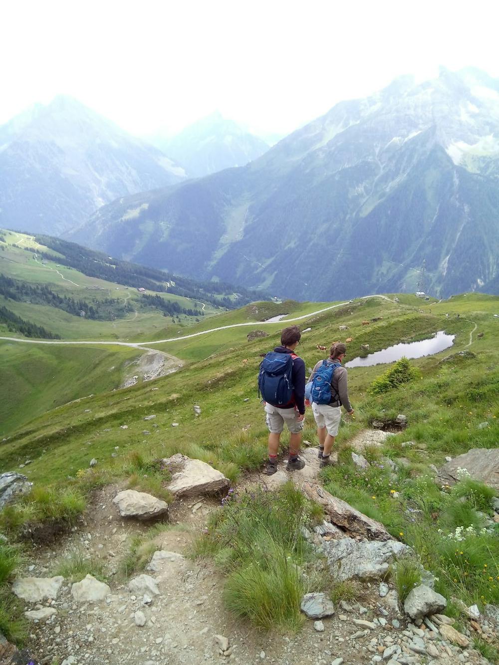
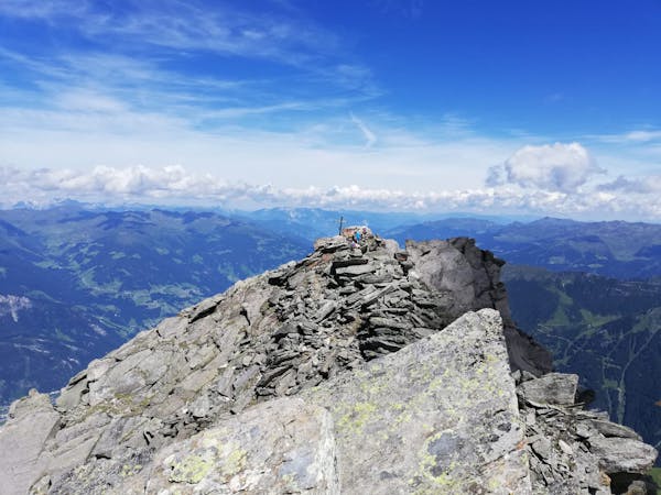
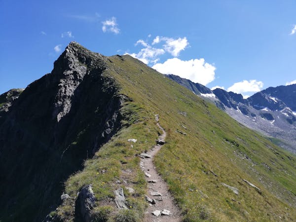
A fun little peak with exceptional views.
Hiking Moderate

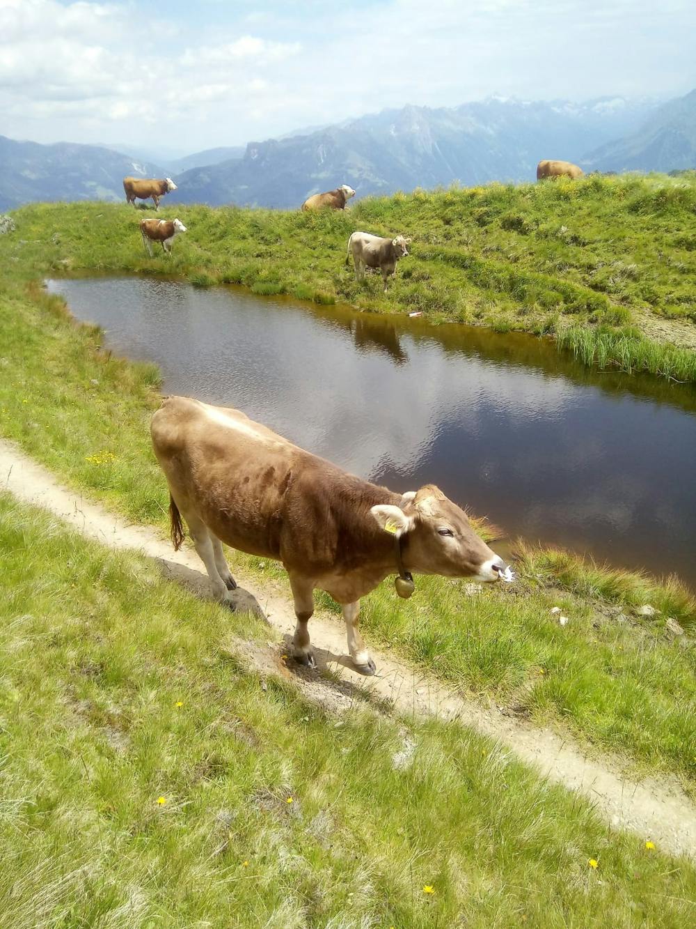
This lovely little peak is crowded with skiers in winter but is peaceful and wild-feeling in the summer months. Hiking up the Wangspitze not overly taxing and doesn't involve any technicality, so it's an ideal trip for beginner/intermediate hikers. The mountain is home to many herds of cows and you will almost certainly be accompanied to the summit by the sound of cowbells ringing, which only adds to the bucolic scene.
Begin the hike from either the top of the Finkenbergbahn gondola at Penken or (slightly longer) from the top of the Kombibahn gondola, accessed via the Penkenbahn lift which begins in Mayrhofen town centre.
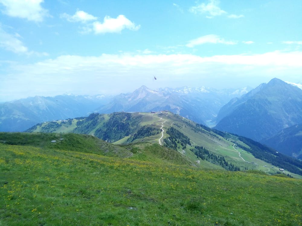
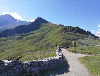
Hike north-west away from the Finkenbergbahn along a large jeep track which descends to a broad col and then climbs up to a cluster of buildings. You could easily bike the section from the gondola to the buildings, and doing so would save you effort going both to and from the peak.
Once at the buildings begin hiking up a good, clear path which leads north to the summit of the Wanglspitze. There are some quaint stiles and well positioned benches on the way to the summit so you're spoiled for choices when it comes to rest spots.
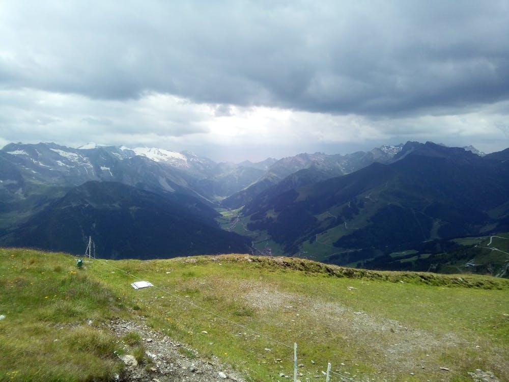
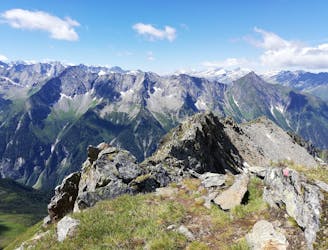
Upon reaching the summit you will be treated to a magnificent 360 degree panorama, with most of the Zillertal's best known peaks close by, and the snowy tops of other ranges visible too.
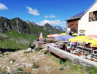
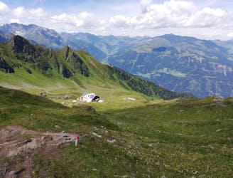
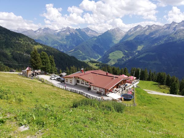
Descend north-west off the summit and then swing gradually around leftwards, passing underneath the cables of the Horbergjoch and Wanglspitz chairlifts and then making a lovely, hanging traverse back to the cluster of buildings you reached earlier on the jeep track. Return to the Penkenbahn and enjoy a drink at one of the excellent mountain huts close to the cable car.
Moderate
Hiking along trails with some uneven terrain and small hills. Small rocks and roots may be present.

The trail contains some obstacles such as outcroppings and rock which could cause injury.
Away from help but easily accessed.
1.4 km away
A gorgeous, easy stroll along a famous ridge line.
Moderate Hiking
6.4 km away
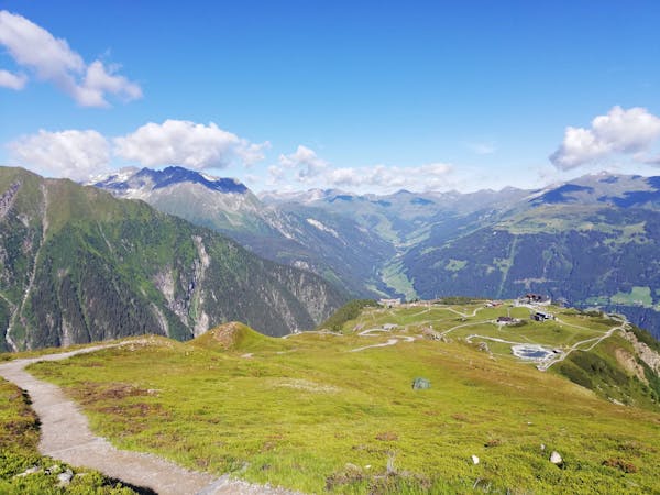
An easy and popular summit which offers breathtaking views
Moderate Hiking
6.4 km away
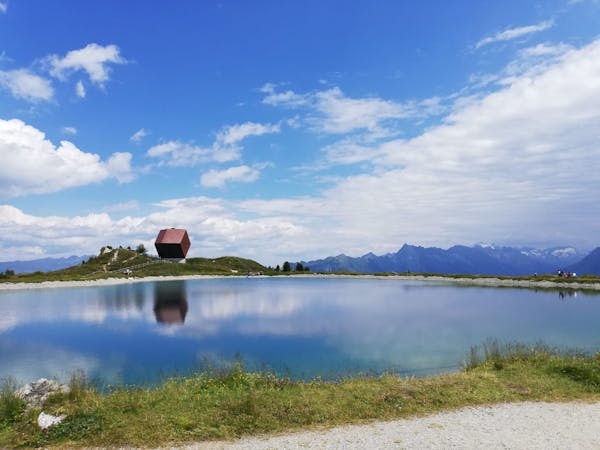
A wonderful, high mountain loop to a popular hut.
Difficult Hiking
6.4 km away
A beautiful, buggy-friendly hike suitable for kids of all ages.
Easy Hiking
7.5 km away
A tough climb up to a traditional Austrian mountain hut.
Difficult Hiking
8.5 km away
A fabulous trip along a beautiful ridge.
Extreme Hiking
8.5 km away
The classic route up one of the Zillertal's most famous peaks.
Severe Hiking
5 routes · Hiking
3 routes · Hiking
3 routes · Hiking
6 routes · Hiking
8 routes · Mountain Biking · Hiking · Road Biking

25 routes · Hiking
8 routes · Mountain Biking · Hiking · Road Biking