6 m away
Ahornspitze via the Popbergschneide
A fabulous trip along a beautiful ridge.
Extreme Hiking
- Distance
- 5.3 km
- Ascent
- 729 m
- Descent
- 728 m
The classic route up one of the Zillertal's most famous peaks.
Hiking Severe

A beautiful peak which is visible from much of the Zillertal, the Ahornspitze should be on every serious hiker's "ticklist". The summit tower is tricky and requires unavoidable (albeit easy) scrambling, often in an exposed position, so this is not a mountain for those new to high places. Provided you're a fit and confident hiker with some basic scrambling experience and a good head for heights, climbing the Ahornspitze is a great day out.
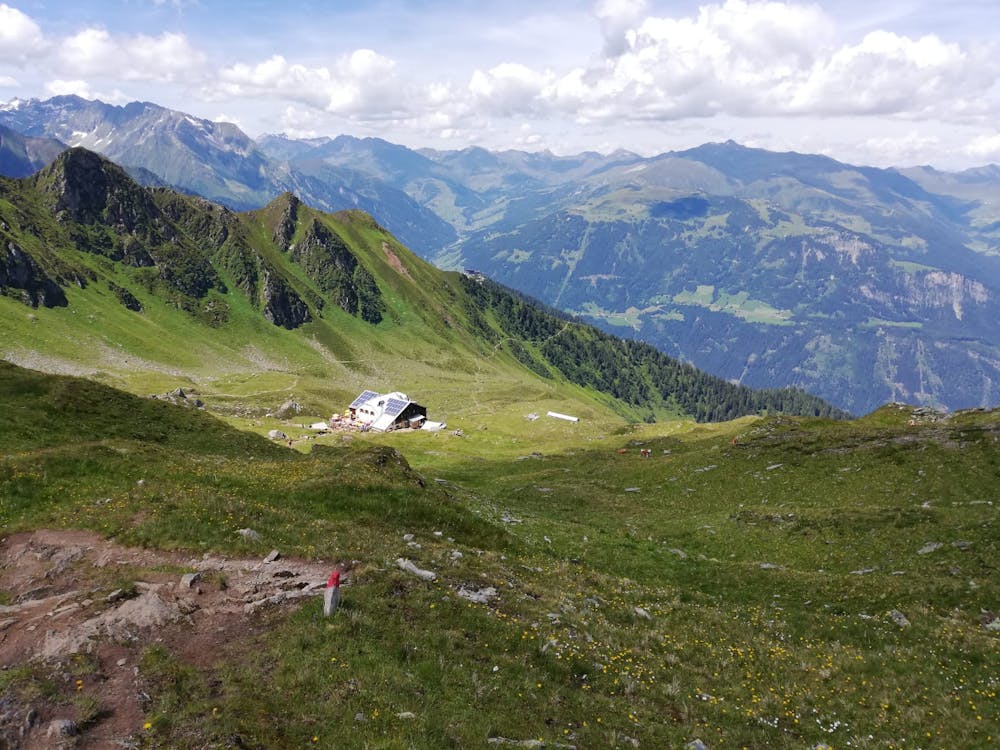
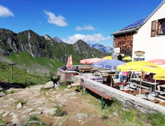
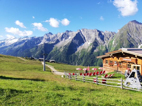
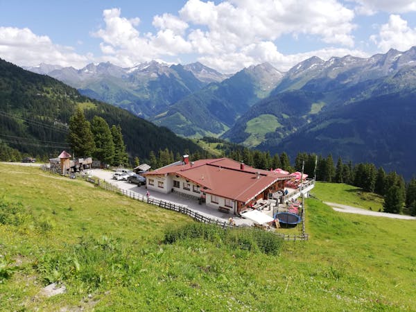
The route shown here starts from the Edelhütte but those with sufficient fitness and determination can climb the peak in a "oner" return trip from the Ahornbahn cable car. Starting from the hut makes the summit day more manageable and gives you a good excuse to stay in a lovely mountain retreat, but it isn't strictly necessary.
The route described here is named after Peter Habeler - a legendary Mayrhofen mountaineer best known for becoming (along with Reinhold Messner) the first person to climb Mount Everest without oxygen. Habeler has always lived in Mayrhofen and continues to hike and climb enthusiastically in his 8th decade. Aged 74 he climbed the Eiger's notorious north face and does not appear to be slowing down - something which might offer a bit of motivation when you're churning up the final section of this peak.
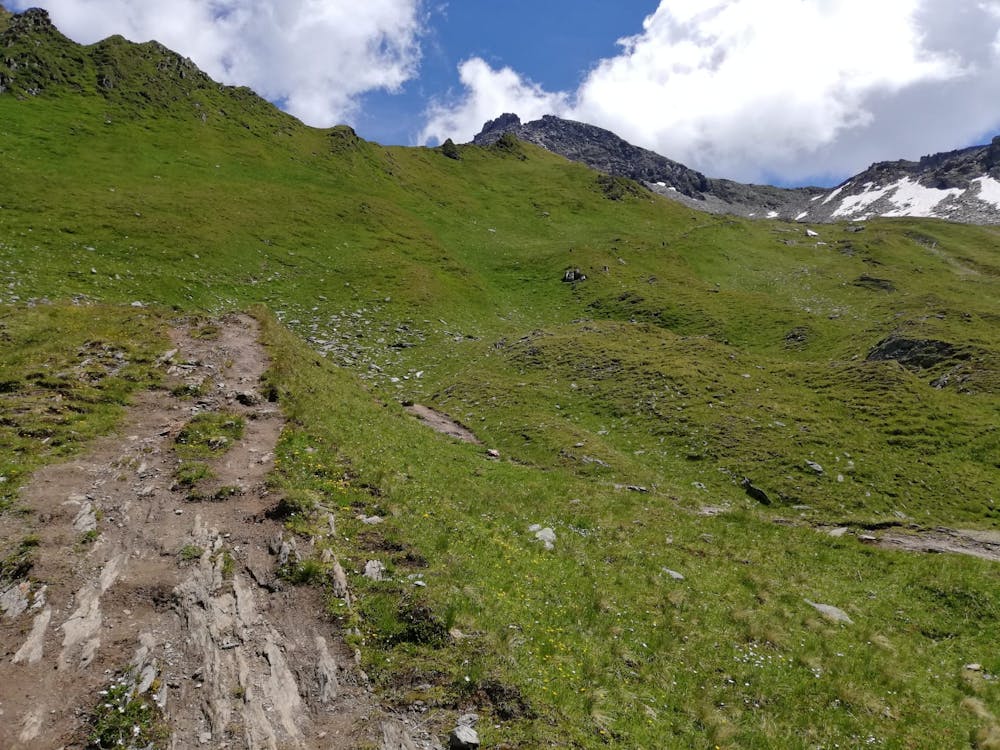
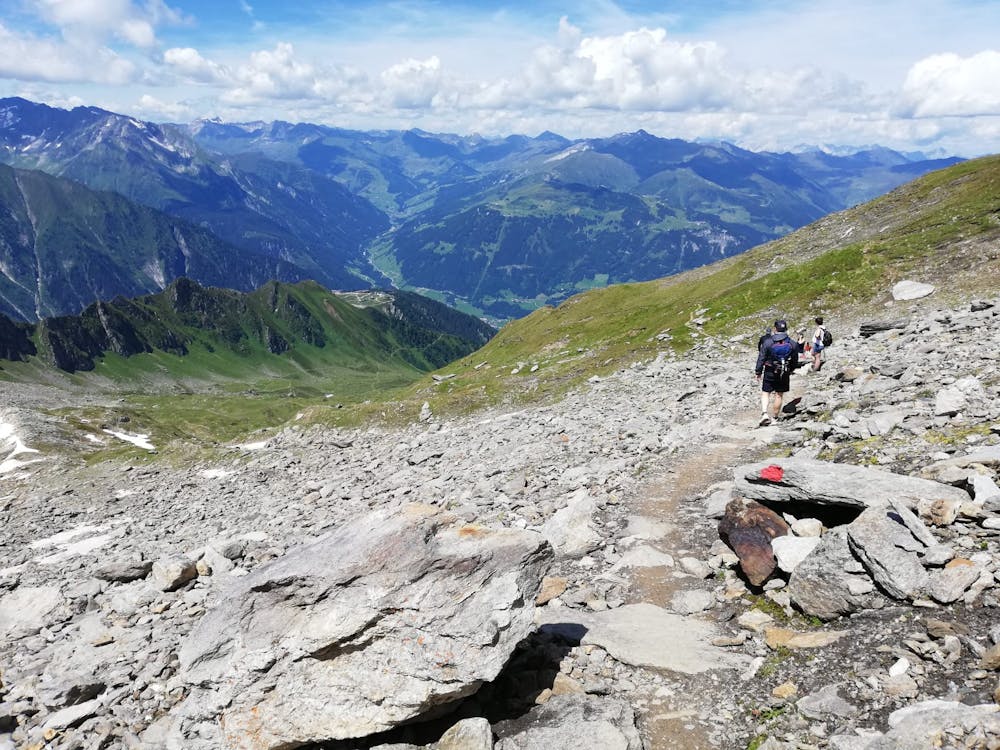
Leave the hut and immediately begin climbing up a steep, rocky path which goes due east towards the Ahornspitze, and then swings south-east and leads up to a wide col beneath the mountain's rocky summit tower. Getting to the col will likely involve crossing some short snow patches - even in July - but these are not exposed and will almost certainly have a track through them.
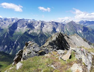
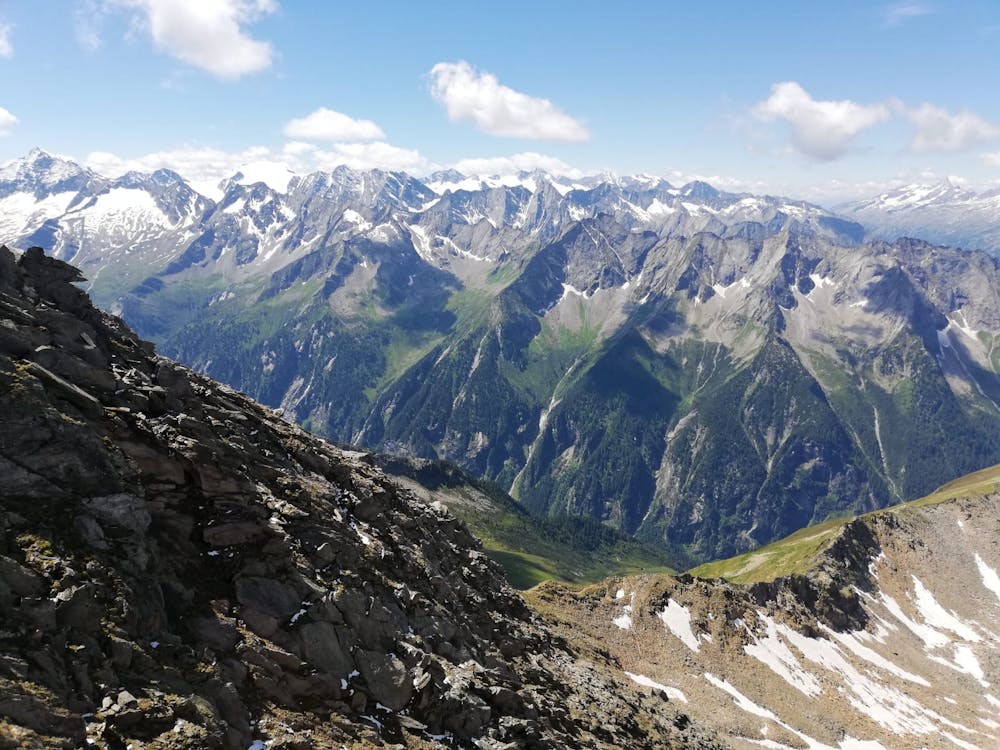
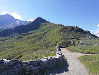
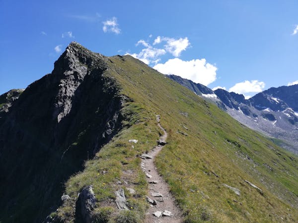
From the col, savour the view across the peaks of the Stilluptal valley then turn left and begin the long, easy scramble up the Ahornspitze's blunt south-west ridge. Climbing the ridge requires constant micro navigation and there are countless mini variations possible, but the "official" route is marked with red and white paint marks. Sections of the scramble are exposed but there's nothing technically challenging and for experienced hikers the scramble is more pleasure than purgatory!
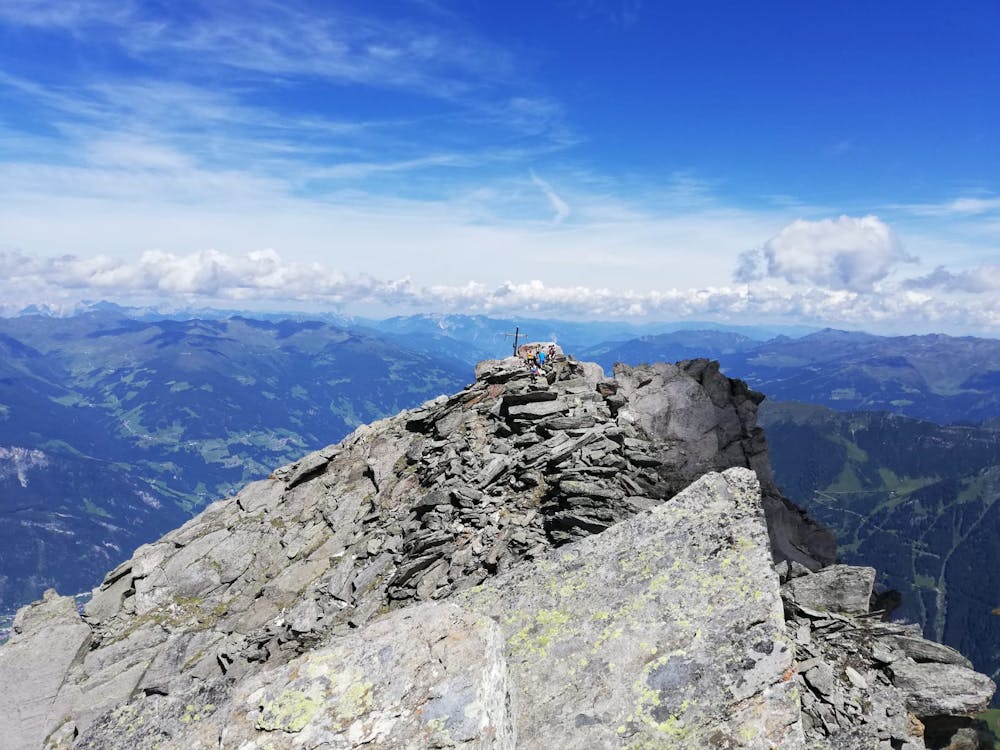
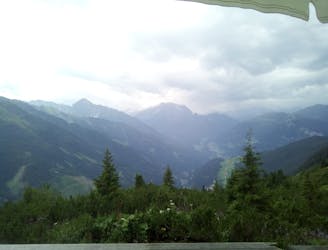
The ridge leads you logically onto a fore-summit, from where you drop to the left of the ridge and follow a series of cable-protected, exposed ledges to the summit itself. The view will likely make your recent exertions feel like a distant memory!
Descend back down the same route, taking care not to knock any loose rocks onto those coming up, and toast your success back at the hut and - an hour or so later - the Ahornbahn.
Severe
Hiking challenging trails where simple scrambling, with the occasional use of the hands, is a distinct possibility. The trails are often filled with all manner of obstacles both small and large, and the hills are very steep. Obstacles and challenges are often unexpected and can be unpredictable.

Some trail sections have exposed ledges or steep ascents/descents where falling could cause serious injury.
Little chance of being seen or helped in case of an accident.
6 m away
A fabulous trip along a beautiful ridge.
Extreme Hiking
2.1 km away
A beautiful, buggy-friendly hike suitable for kids of all ages.
Easy Hiking
2.2 km away
A wonderful, high mountain loop to a popular hut.
Difficult Hiking
2.2 km away
An easy and popular summit which offers breathtaking views
Moderate Hiking
4.1 km away
A tough climb up to a traditional Austrian mountain hut.
Difficult Hiking
5.6 km away

An amazing hike/scramble in the heart of the Zillertal.
Severe Hiking
8 km away
A gorgeous, easy stroll along a famous ridge line.
Moderate Hiking
8.5 km away
A fun little peak with exceptional views.
Moderate Hiking
5 routes · Hiking
3 routes · Hiking
3 routes · Hiking

6 routes · Hiking
8 routes · Mountain Biking · Hiking · Road Biking

25 routes · Hiking
8 routes · Mountain Biking · Hiking · Road Biking