4.8 km away
Königsleitenspitze
A wonderful loop along a stunning ridge.
Moderate Hiking
- Distance
- 7.2 km
- Ascent
- 491 m
- Descent
- 491 m
A beautifully positioned peak opposite the glaciated mountains of the Hohe Tauern National Park.
Hiking Difficult

A classic summit hike, this is a wild trip turned into a half day excursion thanks to a well-positioned lift.


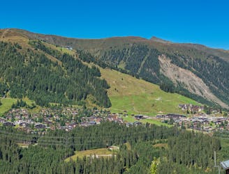
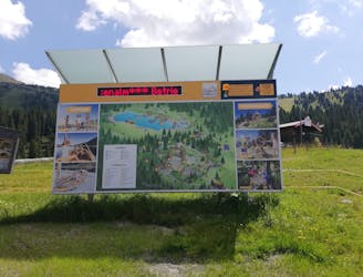
The route begins from the top of the Isskogelbahn cable car, which comes up from the quiet little town of Gerlos. At the top of a cable car is an epic play area for kids, with everything from a pump track to an obstacle course - if you're with children then expect to burn some time exploring before you get on with this trip!
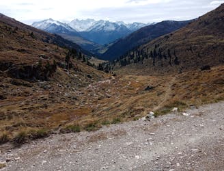
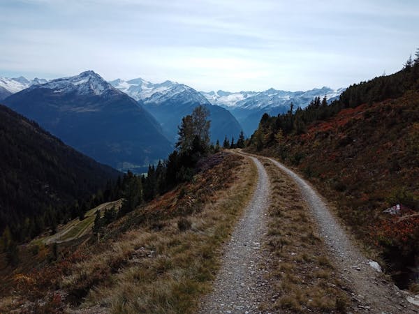
Once you do get underway head up a wide jeep track to the Latschenalm, a lovely hut which is packed with skiers in winter but marginally quieter in summer. Carry on up the jeep track briefly and as you swing around a left hand bend next to a lake a few hundred metres on from the Latschenalm, there's a sudden feeling of entering the high mountains and leaving the tourists behind.
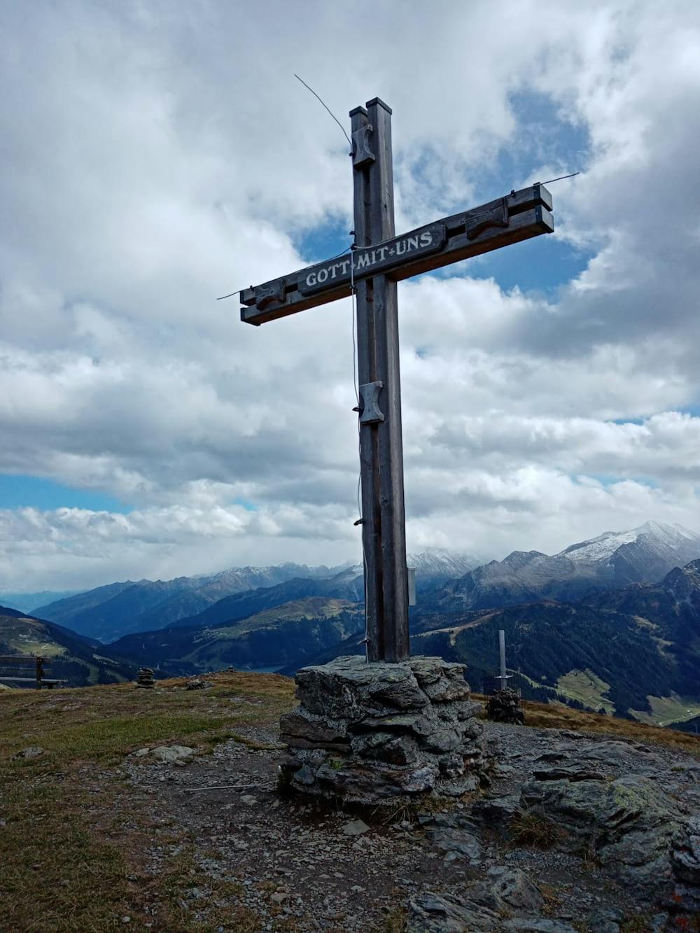
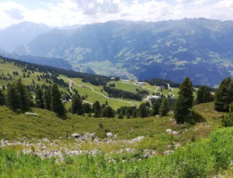
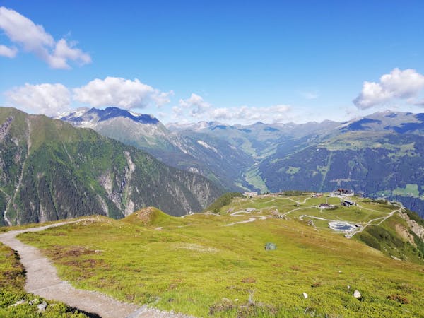
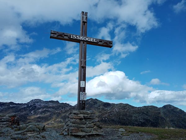
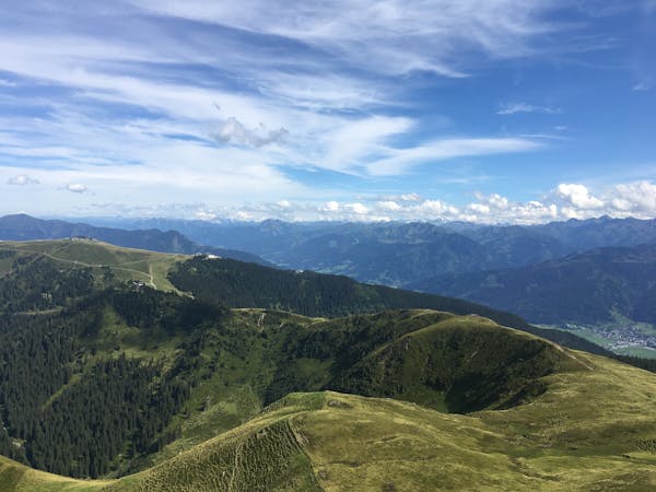
Keep going up the track - which is steep at times - to the foot of the Isskogel's south ridge. Leave the jeep track behind and climb the ridge, which is non-technical but steep and somewhat strenuous in places. About 20 - 30 minutes of effort should get you from the jeep track onto the Isskogel's summit, what a summit it is! The view is utterly epic, with the desolate hills of the Kitzbühler Alps to the north, and the giant peaks of the Hohe Tauern looking impenetrable to the south.
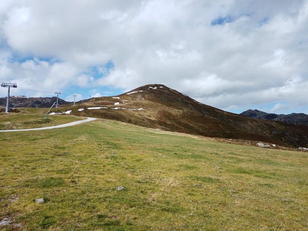
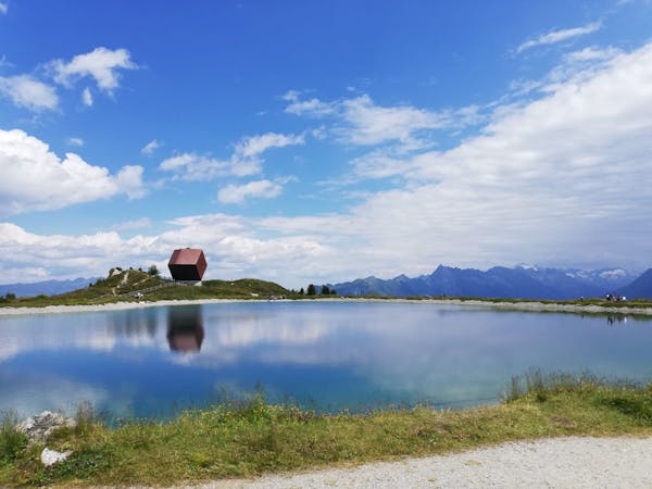
You can just retrace your steps back to the cable car but a much better option is follow an almost-flat path north-west from the summit to a lake at the top of the Teufeltal and Stoanmandl chairlifts. From here, descend a jeep track and swing back around to the south ridge of the Isskogel which you climbed an hour or so previously. Doing this descent turns this trip from a there-and-back into a satisfying traverse and also allows you see a bit more scenery in return for minimal extra effort.
Once back at the foot of the south ridge, retrace your ascent route back to the Isskogelbahn.
Difficult
Hiking trails where obstacles such as rocks or roots are prevalent. Some obstacles can require care to step over or around. At times, the trail can be worn and eroded. The grade of the trail is generally quite steep, and can often lead to strenuous hiking.

The trail contains some obstacles such as outcroppings and rock which could cause injury.

Little chance of being seen or helped in case of an accident.
4.8 km away
A wonderful loop along a stunning ridge.
Moderate Hiking
6.7 km away
A fabulous, long trip into a wild mountain range.
Difficult Hiking
7.1 km away
A lovely half day cruise to a well-positioned summit.
Moderate Hiking
7.1 km away
The hike your kids will never want to end!
Easy Hiking
3 routes · Hiking
3 routes · Hiking
5 routes · Hiking
5 routes · Mountain Biking · Hiking

25 routes · Hiking
8 routes · Hiking