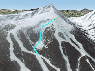
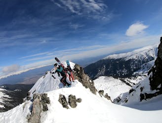
Todorka West face

A long and steep descent from top to bottom, an epic ski line.
Difficult Freeride Skiing
- Distance
- 5.4 km
- Ascent
- 40 m
- Descent
- 1.1 km
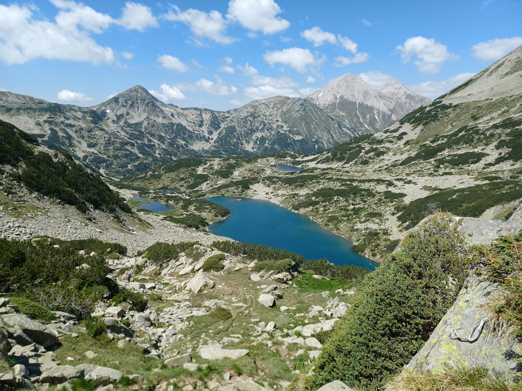
Explore Blagoevgrad with curated guides of the best hiking trails, and more. With over 17 3D trail maps in FATMAP, you can easily discover and navigate the best trails in Blagoevgrad.
No matter what your next adventure has in store, you can find a guide on FATMAP to help you plan your next epic trip.
Get a top trail recommendation in Blagoevgrad from one of our 1 guidebooks, or get inspired by the 17 local adventures uploaded by the FATMAP community. Start exploring now!
A long and steep descent from top to bottom, an epic ski line.
Difficult Freeride Skiing
A demanding but short and easy-access run.
Difficult Freeride Skiing

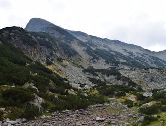
Todorka peak iis the closest peak to the resort of Bansko and one of the most picturesque summit in Pirin mountains
Severe Freeride Skiing

Easy access from the resort and an easy wide open descent.
Easy Freeride Skiing
Кръгов маршрут от хижа Безбог до връх Сиврия
Moderate Hiking
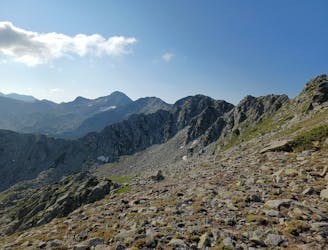
Nice walk into a rock amphitheater
Moderate Hiking

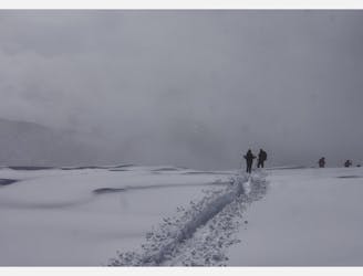
Snowshoes trip in Bunderica valley
Easy Snow Shoeing

Nationaal park Pirin
Moderate Hiking

Прекрасен двудневен маршрут с изкачване на вр. Каменица и спане на Тевно ез.
Easy Hiking
One day hiking trip from Vihren hut to Banderishki chukar.
Moderate Hiking

Hut Bezbog to Dzhangal peak
Moderate Hiking

Must see in Bulgaria
Moderate Hiking
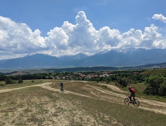
Mountain bike tour around Rila mountains
Difficult Mountain Biking
Full day walk in the high part of the Rila mountains.
Moderate Snow Shoeing
todorka to hvoinati
Moderate Ski Touring

Fun and easy tree ski route
Easy Freeride Skiing