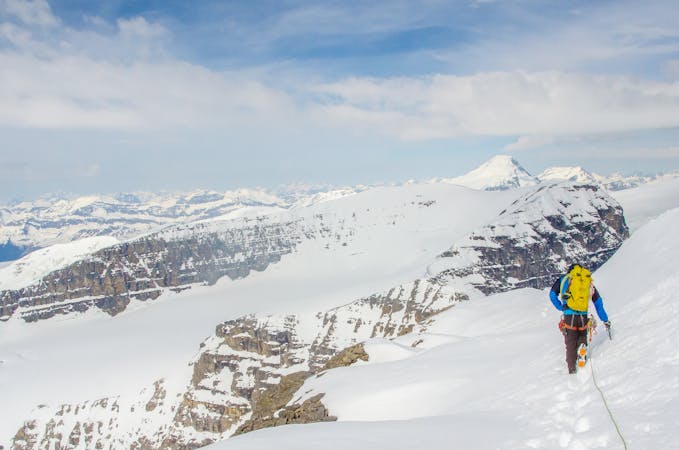
Tenquille-Owl Traverse Hike
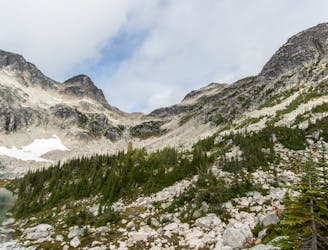
A little known alpine hiking traverse which deserves more traffic!
Extreme Hiking
- Distance
- 34 km
- Ascent
- 1.9 km
- Descent
- 2.8 km
Go hiking in Pemberton with curated guides of the best hikes across the region. With over 39 3D trail maps in FATMAP, you can easily discover and navigate the best trails in Pemberton.
No matter what your next adventure has in store, you can find a guide on FATMAP to help you plan your next epic trip.
Get a top hiking trail recommendation in Pemberton from one of our 10 guidebooks, or get inspired by the 39 local adventures uploaded by the FATMAP community. Start exploring now!
A little known alpine hiking traverse which deserves more traffic!
Extreme Hiking
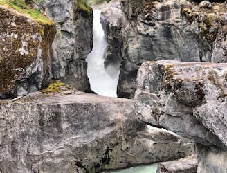
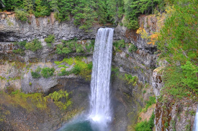
This easy hike leads to a visually-stunning cascade with unique geologic formations.
Easy Hiking

A classic warm weather hike or winter snowshoe that explores dense evergreen forests and offers views of waterfalls.
Moderate Hiking

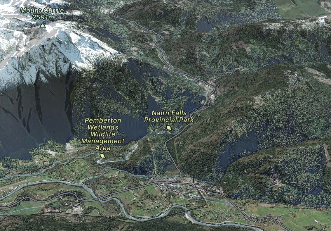
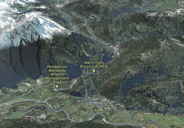
A classic half-day with epic views of Mount Currie and the Green River - just seconds from downtown Pemberton.
Moderate Hiking

1.5km loop around Pemberton's One Mile Lake
Easy Hiking
3 routes · Hiking
10 routes · Alpine Climbing · Hiking · Trail Running
5 routes · Hiking · Trail Running
18 routes · Hiking