The North-East Face of Les Courtes
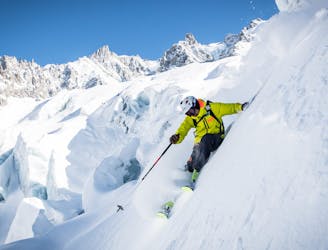
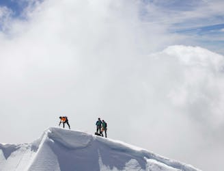
A mythical line down the north face of Les Courtes, opened by Serge Cachet-Rosset in 1971.
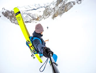
Extreme Freeride Skiing
- Distance
- 4.2 km
- Ascent
- 1.1 km
- Descent
- 1.1 km
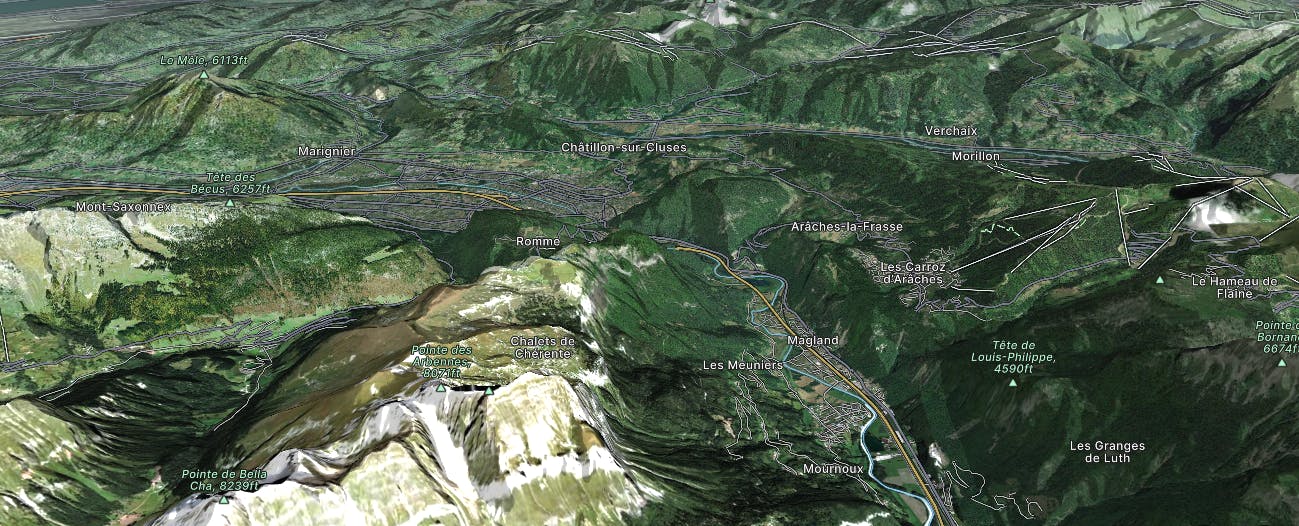
Explore Arve Valley with curated guides of the best hiking trails, mountain bike trails, trail running routes, ski routes, and more. With over 110 3D trail maps in FATMAP, you can easily discover and navigate the best trails in Arve Valley.
No matter what your next adventure has in store, you can find a guide on FATMAP to help you plan your next epic trip.
Get a top trail recommendation in Arve Valley from one of our 23 guidebooks, or get inspired by the 110 local adventures uploaded by the FATMAP community. Start exploring now!
A mythical line down the north face of Les Courtes, opened by Serge Cachet-Rosset in 1971.
Extreme Freeride Skiing
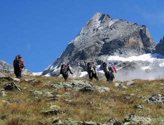
A long high mountain traverse over the highest point of the Tre La Tete peaks.
Difficult Alpine Climbing
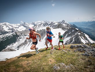
A 57km route that starts in Orsières and finished in Chamonix Un parcours de 57 km qui débute à Orsières et se termine à Chamonix.
Extreme Trail Running

Official MTB trails haut Giffre 2016
Severe Mountain Biking
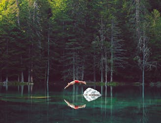
Steep little hike to peaceful, green lake
Moderate Hiking
Total walking time: 7-8 hours, 750m of ascent, 1,400m of descent.
Moderate Hiking
Total walking time: 4-5 hours, 1,400m of ascent.
Moderate Hiking
A long south-southwest facing couloir, which is a great day mission from the Grand Montets.
Extreme Freeride Skiing

An old trappers' trail though a delightfully varied forest
Moderate Fat biking
This idyllic snowshoe route follows the locals' favourite summer hiking trail
Easy Snow Shoeing
Col de Balafrasse par le Chinaillon
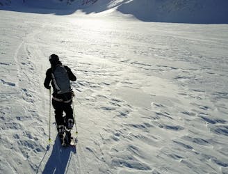
Easy Ski Touring
Neige transformée sur les pentes ensoleilées. Glacée ailleurs
Moderate Ski Touring
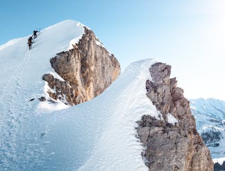
Grandes Jorasses North Face Cassin Route 2 hours 4 minutes
Extreme Alpine Climbing

The first day of the Grand Lui variation.
Difficult Ski Touring