724 m away
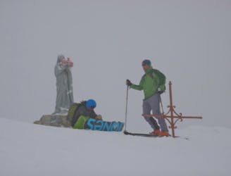
Col de Balafrasse
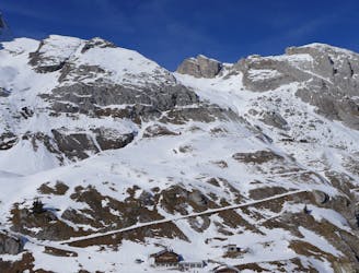
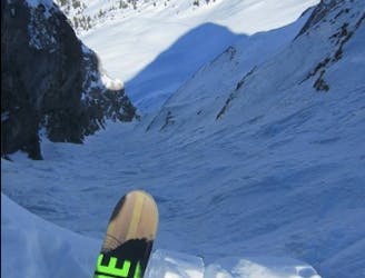
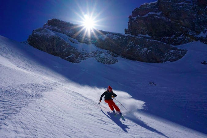
A justifiably popular ski tour in amongst the big limestone cliffs of the Aravis.
Moderate Ski Touring
- Distance
- 8.5 km
- Ascent
- 864 m
- Descent
- 864 m
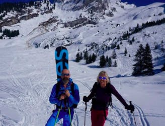
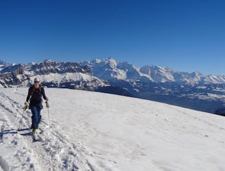
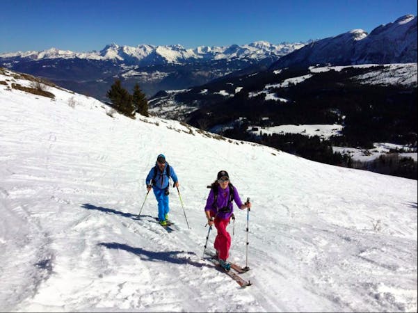
Col de Balafrasse par le Chinaillon
Ski Touring Easy

This is a popular ski touring route which is generally considered to be easy. It's not remote, it features low exposure (e1) and is typically done between November and April. From a low point of 1.5 km to the maximum altitude of 2.2 km, the route covers 2.4 km, 706 vertical metres of ascent and 0 vertical metres of descent. It's graded 2.3 and Labande grade 2. You'll need skins and crampons to complete it safely.
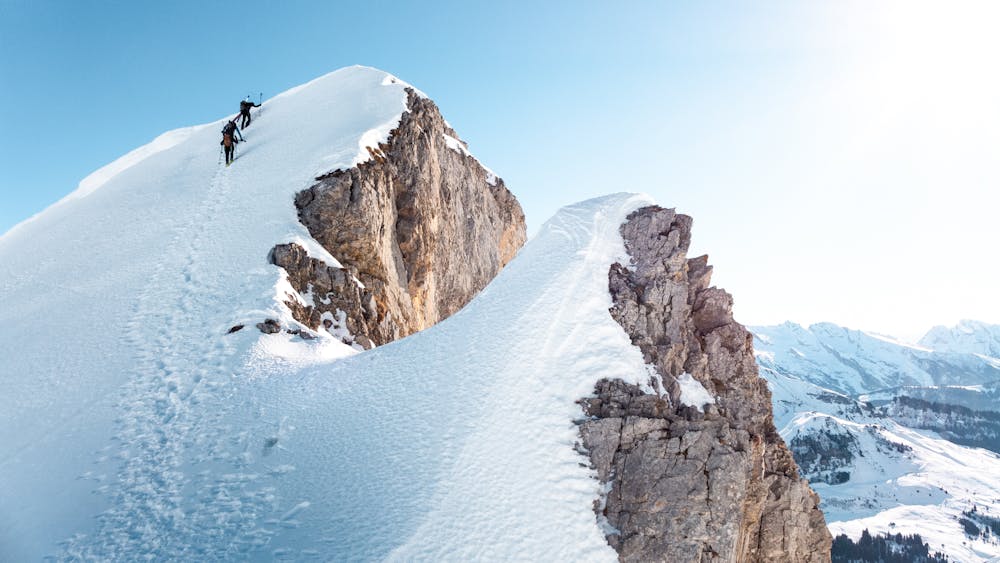
Sortie facile, la fin de la combe deviens un peu plus pentue. Prendre des couteaux en cas de neige dure.
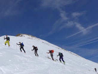
Easy
Wide gentle slopes at around 20 degrees or less.

Exposure is limited to that of the slope itself. Getting hurt is still likely if the slope is steep and/or the snow is hard.
Close to help in case of emergency.
724 m away
A justifiably popular ski tour in amongst the big limestone cliffs of the Aravis.
Moderate Ski Touring
1.1 km away
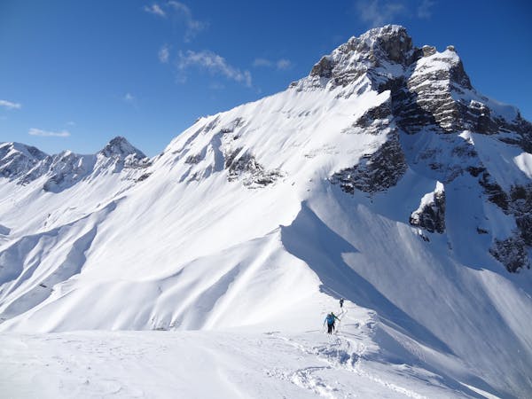
A short fun classic of the Aravis that gives a good taste of the area.
Moderate Ski Touring
3.7 km away
A quiet ski tour in a wild setting with fun skiing.
Moderate Ski Touring
6.9 km away
A Double Couloir Aravis Traverse
Severe Ski Touring
6.9 km away
An accessible but highly rewarding Aravis classic
Difficult Ski Touring
7 km away
An easy, accessible and safe ski tour - perfect for beginners
Moderate Ski Touring
7.2 km away
A Quick Aravis Hit With A Spectacular Summit
Difficult Ski Touring
9.9 km away
An easy ski tour to a perfectly positioned peak, followed by a steep and exciting descent. Ski touring doesn't get much better!
Difficult Ski Touring
7 routes · Ski Touring
7 routes · Ski Touring

50 routes · Freeride Skiing · Ski Touring
5 routes · Ski Touring

15 routes · Freeride Skiing · Ski Touring
10 routes · Ski Touring
3 routes · Ski Touring