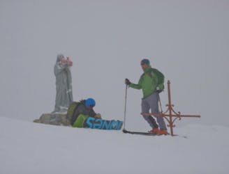
115 m away
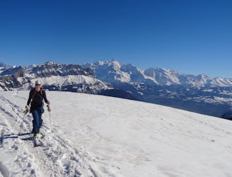
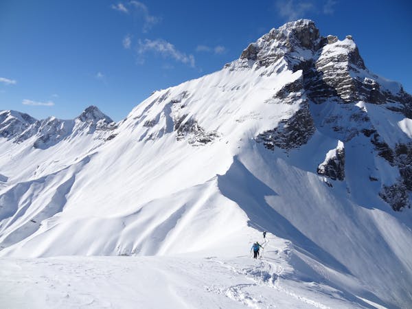
Tête d'Auferrand
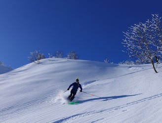
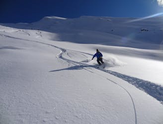
A quiet ski tour in a wild setting with fun skiing.
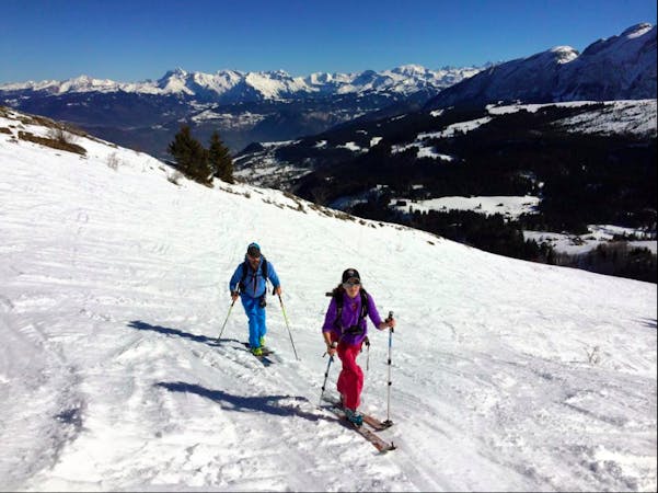
Moderate Ski Touring
- Distance
- 8.7 km
- Ascent
- 767 m
- Descent
- 767 m
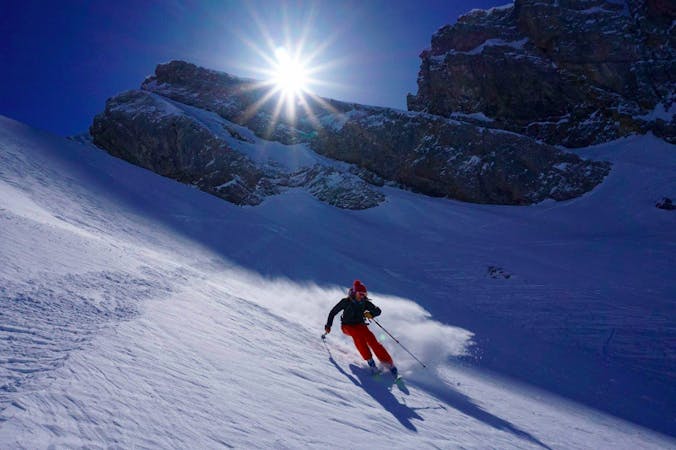
Neige transformée sur les pentes ensoleilées. Glacée ailleurs
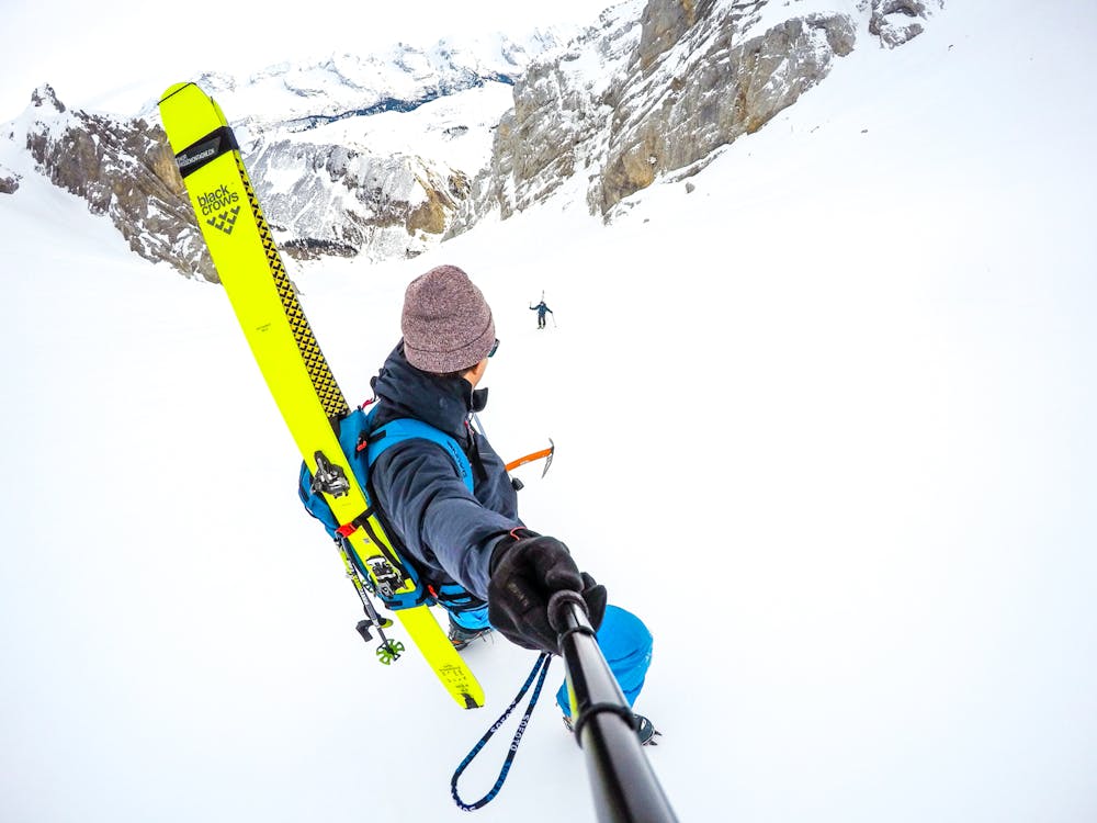
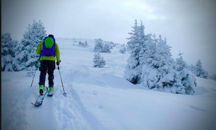
Ski Touring Moderate

This is a popular ski touring route which is generally considered to be moderate. It's remote, it features medium exposure (e2) and is typically done between December and April. From a low point of 1.3 km to the maximum altitude of 2.2 km, the route covers 12 km, 953 vertical metres of ascent and 958 vertical metres of descent. It's graded 2.3 and Labande grade 3. You'll need skins, ice axe and crampons to complete it safely.
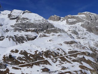
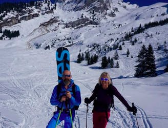
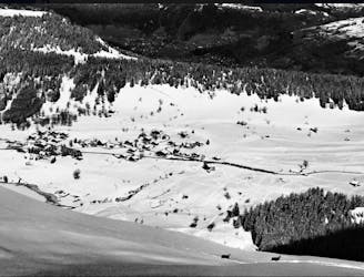
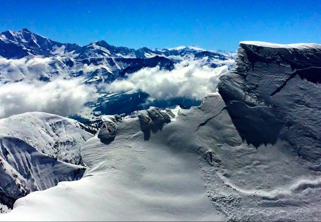
Jolie vue sur les Aravis
Moderate
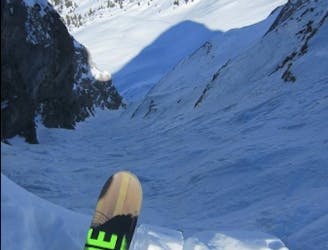
Slopes become slightly steeper at around 25-30 degrees.

As well as the slope itself, there are some obstacles (such as rock outcrops) which could aggravate injury.
Away from help but easily accessed.
115 m away
A quiet ski tour in a wild setting with fun skiing.
Moderate Ski Touring
3.9 km away
A justifiably popular ski tour in amongst the big limestone cliffs of the Aravis.
Moderate Ski Touring
4.9 km away
A short fun classic of the Aravis that gives a good taste of the area.
Moderate Ski Touring
6.2 km away
An easy ski tour to a perfectly positioned peak, followed by a steep and exciting descent. Ski touring doesn't get much better!
Difficult Ski Touring
6.7 km away
An easy, accessible and safe ski tour - perfect for beginners
Moderate Ski Touring
9 km away
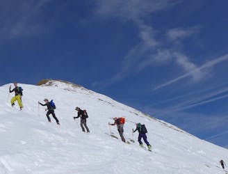
A Double Couloir Aravis Traverse
Severe Ski Touring
9 km away
An accessible but highly rewarding Aravis classic
Difficult Ski Touring
9.4 km away
A Quick Aravis Hit With A Spectacular Summit
Difficult Ski Touring
9.4 km away
A long tour through staggering scenery which culminates with a descent of a beautiful hanging face.
Difficult Ski Touring
7 routes · Ski Touring
7 routes · Ski Touring

50 routes · Freeride Skiing · Ski Touring
5 routes · Ski Touring

15 routes · Freeride Skiing · Ski Touring
10 routes · Ski Touring
3 routes · Ski Touring