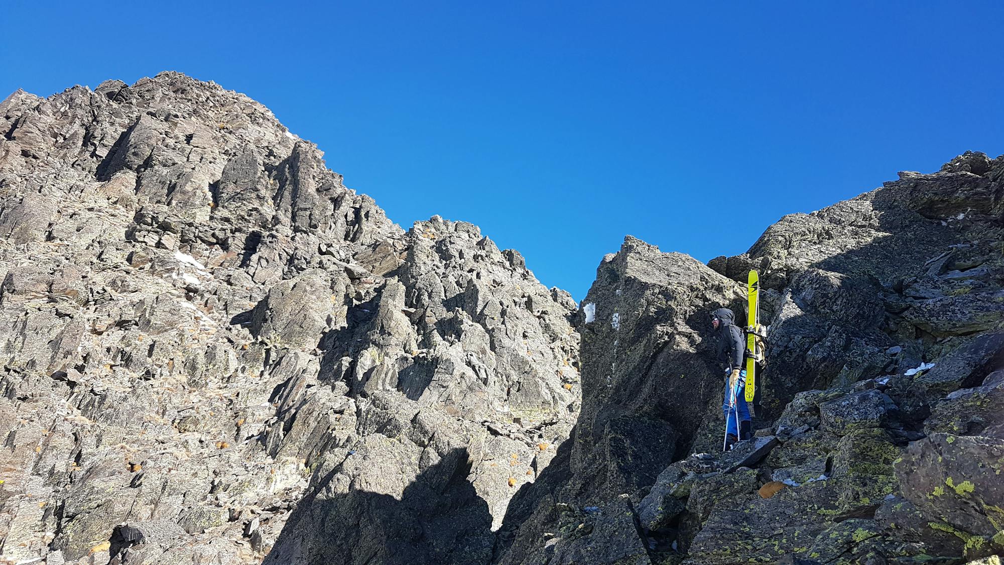
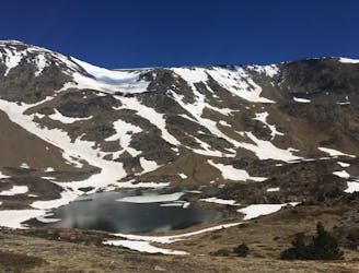
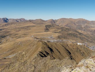
Pic Carlit face S
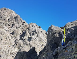
A good introduction to steep skiing. Plus, it comes with an easy course over the southern ridge of the Pic Carlit.
Moderate Freeride Skiing
- Distance
- 1.4 km
- Ascent
- 336 m
- Descent
- 336 m
Explore Pyrénées-Orientales with curated guides of the best hiking trails, ski routes, and more. With over 35 3D trail maps in FATMAP, you can easily discover and navigate the best trails in Pyrénées-Orientales.
No matter what your next adventure has in store, you can find a guide on FATMAP to help you plan your next epic trip.
Get a top trail recommendation in Pyrénées-Orientales from one of our 1 guidebooks, or get inspired by the 35 local adventures uploaded by the FATMAP community. Start exploring now!
A good introduction to steep skiing. Plus, it comes with an easy course over the southern ridge of the Pic Carlit.
Moderate Freeride Skiing
Du lac des Bouillouses au gîte de Mounicou ~ 29N Km / 1400 + / 1900 -
Difficult Hiking
A varied route through plains, forests and lakes
Moderate Hiking
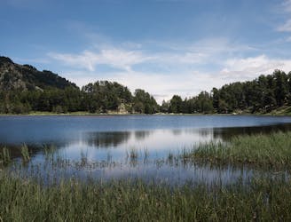
Searching the lake hidden in the woods
Easy Hiking
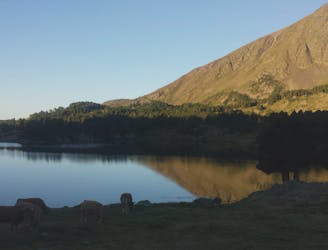
Between deep forest and rocky ridge, a very unique mountain
Moderate Hiking
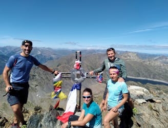
Ascensió al Carlit per la cresta
Moderate Hiking
Trekking circular Els Perics en 4 dies/3 nits
Moderate Hiking
Walk up to one of highest peaks in the Pas de la Casa area
Moderate Hiking

Hike from Valmanya to Canigou
Moderate Hiking

Flowy, pedally shuttle run.
Difficult Mountain Biking

Popular shuttle run.
Severe Mountain Biking

Ride from France to Spain over a high alpine pass.
Severe Mountain Biking

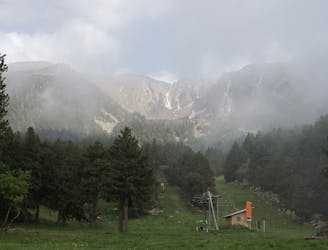
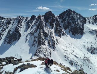
Winter Alpinism Route
Difficult Alpine Climbing
Porta --> Porte-Puymorens par Campcardos, Andorre et pic Pedros et Pic de la Mine
Moderate Ski Touring
Tribulations autours du Pedrons et Font Negra
Moderate Ski Touring

Porté - Font Freda - Porté
Difficult Ski Touring