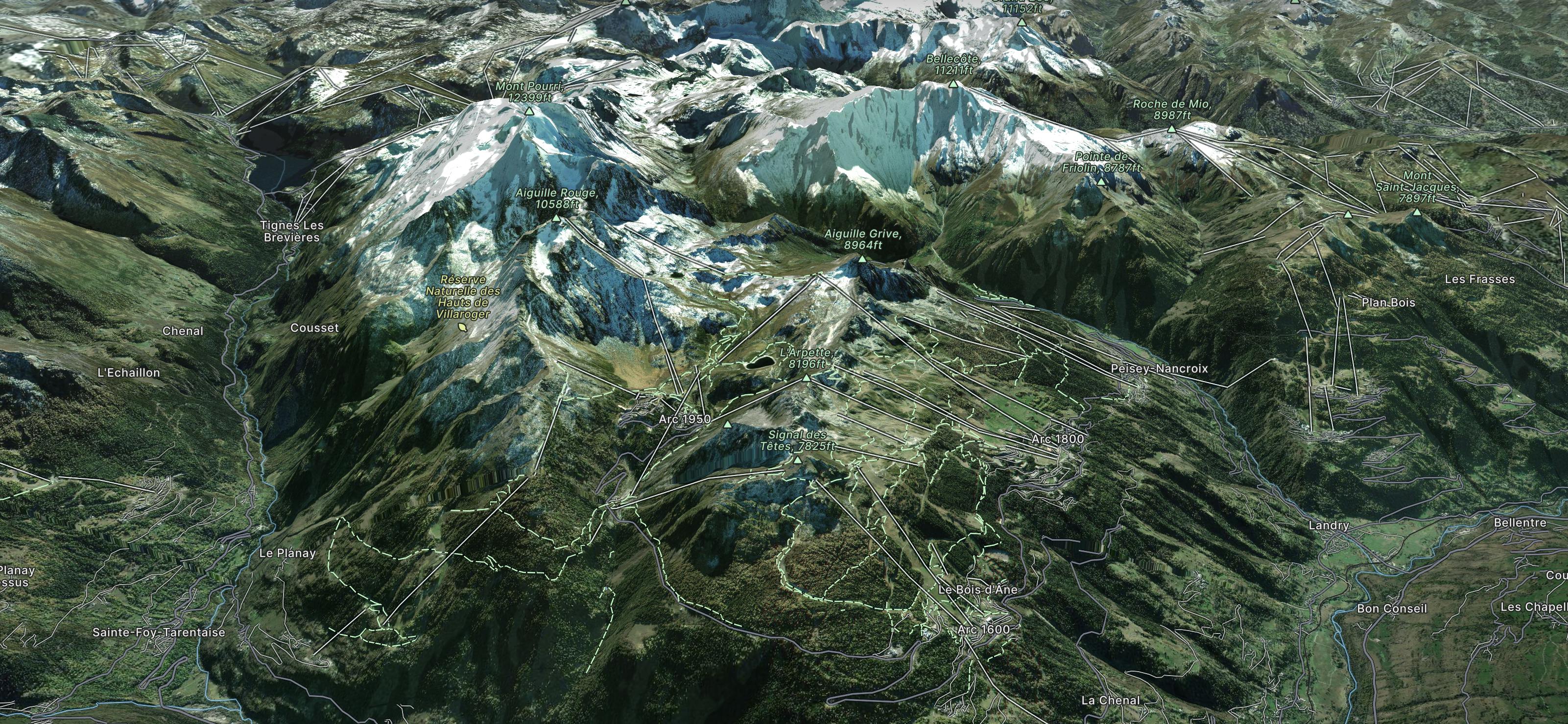
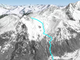
Tignes to the Belvédère
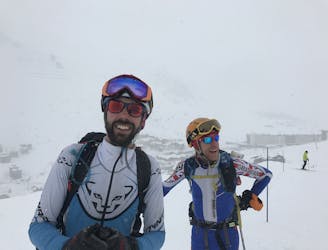
The sort of route you would only take if you were totally determined to avoid a lift!
Moderate Ski Touring
- Distance
- 26 km
- Ascent
- 916 m
- Descent
- 1.6 km
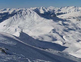
Explore Les Arcs with curated guides of the best ski routes, and more. With over 35 3D trail maps in FATMAP, you can easily discover and navigate the best trails in Les Arcs.
No matter what your next adventure has in store, you can find a guide on FATMAP to help you plan your next epic trip.
Get a top trail recommendation in Les Arcs from one of our 1 guidebooks, or get inspired by the 35 local adventures uploaded by the FATMAP community. Start exploring now!
The sort of route you would only take if you were totally determined to avoid a lift!
Moderate Ski Touring
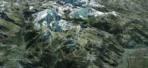
The classic, big mountain, Alps epic in Les Arcs.
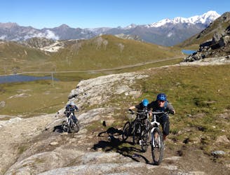
Extreme Mountain Biking

An incredible off-piste journey on the wild-side of the Aiguille Rouge
Difficult Freeride Skiing
Another long interesting itinerary into the deep valley separating Les Arcs from La Plagne
Difficult Freeride Skiing

One of the only authorized routes on the Aiguille Rouge
Difficult Freeride Skiing

One of the most exposed faces in Les Arcs
Extreme Freeride Skiing

Steep north facing couloirs
Severe Freeride Skiing
A wild, steep line that needs stable snow conditions and finishes outside the lift served area
Severe Freeride Skiing
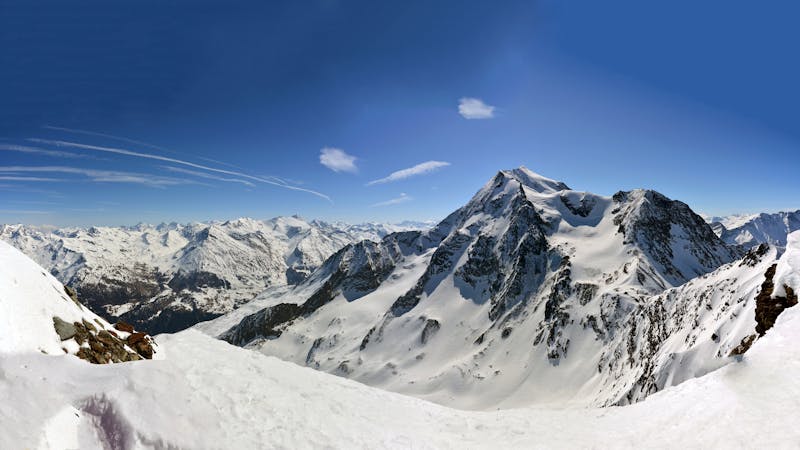
25 routes · Freeride Skiing