813 m away
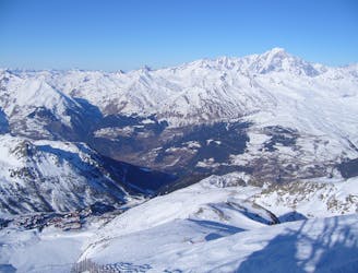
Les Paravalanches

Easy descent that is just outside the national park
Moderate Freeride Skiing
- Distance
- 1.3 km
- Ascent
- 11 m
- Descent
- 420 m
One of the only authorized routes on the Aiguille Rouge
Freeride Skiing Difficult

This route is accessed by hiking off to the left at the top of the Lanchettes chairlift in Arc 2000. There is a sign stating that you need to have done the Nature Course- this teaches you about the local wildlife on the Aiguille Rouge and is mandatory in order to ski most off piste on the Rouge. You can sometime get away with out it on this route as its very popular, but its at your own risk and I recommend you do the course. The hike is obvious and is only about 5 mins long, once you reach the ridge line you can see clearly your run. You are also stood next to a cross in memory of the many deaths on this part of the mountain, a reminder that you are still venturing off piste!
On a good snow day this run is great, it starts steep and there are many entrances to your left and right so you can usually find fresh snow. Its a very popular run with instructor groups so it can get very tracked out. Follow the obvious fall line run, you begin to curve round to the left, you will see a large chalet just on the tree line, keep going past this until you come to two summer huts. there is a track here which you need to take. You will end up on the piste to Villaroger. Its hard to get lost on this run but keep your wits about you, Lachettes means avalanche so don't take this run lightly.
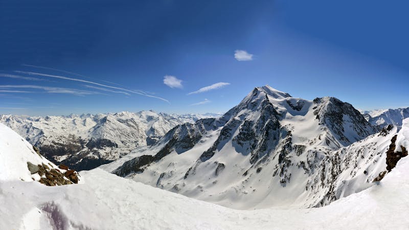
Difficult
Serious gradient of 30-38 degrees where a real risk of slipping exists.

As well as the slope itself, there are some obstacles (such as rock outcrops) which could aggravate injury.

Little chance of being seen or helped in case of an accident.
813 m away
Easy descent that is just outside the national park
Moderate Freeride Skiing
962 m away

An amazing journey on to the wild side on the edge of the nature reserve
Difficult Freeride Skiing
1.3 km away

One of the most exposed faces in Les Arcs
Extreme Freeride Skiing
1.7 km away

A magnificent steep and committing line backside of the Aiguille Rouge
Severe Freeride Skiing
2 km away

A steep direct start to the Robert Blanc piste
Severe Freeride Skiing
2.2 km away

One of the narrowest and steepest in Les Arcs
Severe Freeride Skiing
2.2 km away

Exposed Bowl on north west face
Severe Freeride Skiing
2.2 km away
One of the big Paradiski classics remains a serious undertaking
Difficult Freeride Skiing
2.3 km away

Steep couloir with a wide runout
Difficult Freeride Skiing
2.5 km away

a fairly exposed and often untracked line
Difficult Freeride Skiing
25 routes · Freeride Skiing