813 m away
La Combe des Lanchettes

One of the only authorized routes on the Aiguille Rouge
Difficult Freeride Skiing
- Distance
- 2.8 km
- Ascent
- 0 m
- Descent
- 943 m
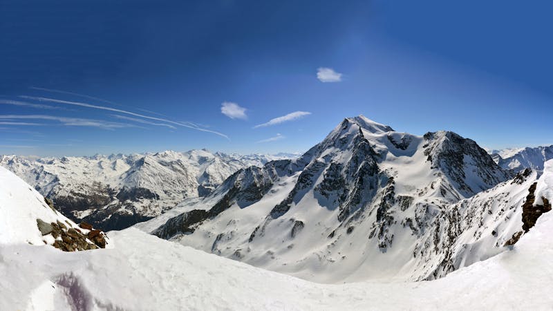
Easy descent that is just outside the national park
Freeride Skiing Moderate

Come off the Lanchettes chair and ski down the piste towards Villaroger, just as you turn the first right hand corner you need to come off the piste and begin traversing right and staying high. you will eventually end up in a high bowl with avalanche barriers, you are allowed to ski the left hand side, heading back down towards the villaroger piste. Its a short run but has big rewards on a good snow day and is easy to reach with little consequences. Try and ski in between the barriers to get the most of the snow. Another way to access is to hike towards the Lanchettes run but walk to your left, this will involve alot of walking but you will have a longer run down.
Moderate
Slopes become slightly steeper at around 25-30 degrees.

Exposure is limited to that of the slope itself. Getting hurt is still likely if the slope is steep and/or the snow is hard.
Close to help in case of emergency.
813 m away
One of the only authorized routes on the Aiguille Rouge
Difficult Freeride Skiing
1.7 km away

One of the narrowest and steepest in Les Arcs
Severe Freeride Skiing
1.8 km away

An amazing journey on to the wild side on the edge of the nature reserve
Difficult Freeride Skiing
1.9 km away

Steep couloir with a wide runout
Difficult Freeride Skiing
2 km away

A difficult and avalanche prone couloir - check before you go
Severe Freeride Skiing
2.1 km away

Steep north facing couloirs
Severe Freeride Skiing
2.2 km away

One of the most exposed faces in Les Arcs
Extreme Freeride Skiing
2.2 km away

The bowl that hosted the Red Bull Linecatcher
Moderate Freeride Skiing
2.3 km away

a fairly exposed and often untracked line
Difficult Freeride Skiing
2.3 km away

A popular wide open bowl often with great snow
Easy Freeride Skiing
25 routes · Freeride Skiing