402 m away
Les Cascades

One of the most exposed faces in Les Arcs
Extreme Freeride Skiing
- Distance
- 1.7 km
- Ascent
- 2 m
- Descent
- 687 m
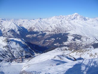
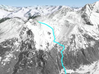
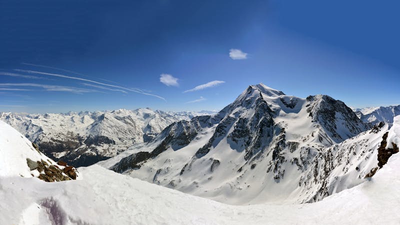
A magnificent steep and committing line backside of the Aiguille Rouge
Freeride Skiing Severe

A steep and committing line down the backside of the Aiguille Rouges opens up some great skiing in the right conditions. Although its East facing aspect means it can be tricky to find in the right conditions. And you need to be sure about the snow conditions before venturing on this route. The line itself lower down is threatened from other slopes above you. It is clear from the start that you are dropping in to a big mountain environment on steep slopes away from the marked runs of the ski resort. The first turns are the steepest and the couloir opens up and gets wider lower down - although stays steep for some way - the couloir itself is over 400m long. The route continues down to pick up the forest path that takes you back round to the Planay de Villaroger.
Severe
Steep skiing at 38-45 degrees. This requires very good technique and the risk of falling has serious consequences.

As well as the slope itself, there are some obstacles (such as rock outcrops) which could aggravate injury.

Little chance of being seen or helped in case of an accident.
402 m away
One of the most exposed faces in Les Arcs
Extreme Freeride Skiing
418 m away

A steep direct start to the Robert Blanc piste
Severe Freeride Skiing
580 m away
One of the big Paradiski classics remains a serious undertaking
Difficult Freeride Skiing
598 m away

Exposed Bowl on north west face
Severe Freeride Skiing
780 m away

An amazing journey on to the wild side on the edge of the nature reserve
Difficult Freeride Skiing
1.6 km away

An incredible off-piste journey on the wild-side of the Aiguille Rouge
Difficult Freeride Skiing
1.7 km away

One of the only authorized routes on the Aiguille Rouge
Difficult Freeride Skiing
2.5 km away

Easy descent that is just outside the national park
Moderate Freeride Skiing
3.2 km away

A long, interesting route away from the ski area
Difficult Freeride Skiing
3.2 km away
Another long interesting itinerary into the deep valley separating Les Arcs from La Plagne
Difficult Freeride Skiing
25 routes · Freeride Skiing