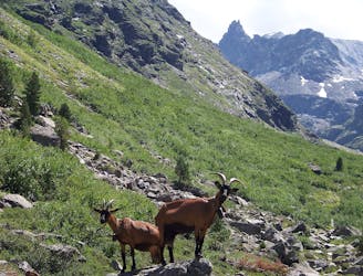
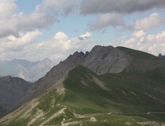
Signal du Petit Mont Cenis 3162m, voie normale Arête SW
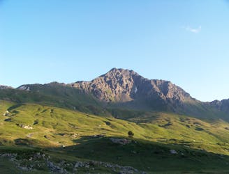
Assez longue randonnée sur une arête aérienne sur la fin, avec des panoramas superbes
Severe Hiking
- Distance
- 12 km
- Ascent
- 1 km
- Descent
- 1 km
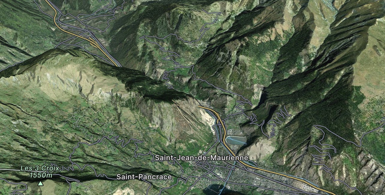
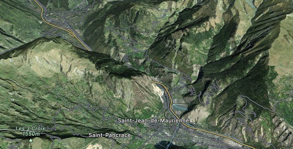
Explore Saint-Jean-de-Maurienne with curated guides of the best hiking trails, trail running routes, ski routes, and more. With over 68 3D trail maps in FATMAP, you can easily discover and navigate the best trails in Saint-Jean-de-Maurienne.
No matter what your next adventure has in store, you can find a guide on FATMAP to help you plan your next epic trip.
Get a top trail recommendation in Saint-Jean-de-Maurienne from one of our 7 guidebooks, or get inspired by the 68 local adventures uploaded by the FATMAP community. Start exploring now!
Assez longue randonnée sur une arête aérienne sur la fin, avec des panoramas superbes
Severe Hiking
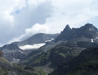
Pente de neige soutenue 45°, courte, dans un cadre très sauvage.
Difficult Alpine Climbing
Très belle escalade facile, très sauvage
Moderate Alpine Climbing
A ridge line that had to be run
Moderate Trail Running