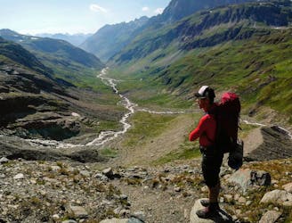
GR5 St Gingolph to Menton via GR55 & GR52

Trekking over the French Alps from the Geneva Lake to Mediterrian
Difficult Hiking
- Distance
- 571 km
- Ascent
- 30 km
- Descent
- 30 km
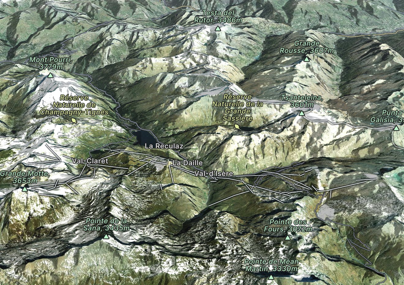
Tignes & Val d'Isere combine to create one of the world's truly great ski areas, but they each offer different and unique experiences.
Go hiking in Tignes and Val d'Isère with curated guides of the best hikes across the region. With over 154 3D trail maps in FATMAP, you can easily discover and navigate the best trails in Tignes and Val d'Isère.
No matter what your next adventure has in store, you can find a guide on FATMAP to help you plan your next epic trip.
Get a top hiking trail recommendation in Tignes and Val d'Isère from one of our 11 guidebooks, or get inspired by the 154 local adventures uploaded by the FATMAP community. Start exploring now!

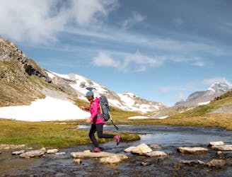
Trekking over the French Alps from the Geneva Lake to Mediterrian
Difficult Hiking
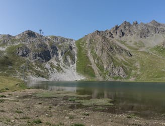
Easy and panoramic walk around a mountain lake
Easy Hiking
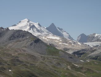
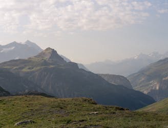
An alpine and "olympic" peak without any difficulty
Easy Hiking
Discovering the secrets of the North area of Tignes ski resort
Moderate Hiking
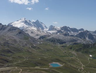
An alpine and accesible summit
Moderate Hiking
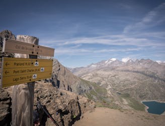
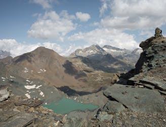
Between two countries and two National Parks
Moderate Hiking
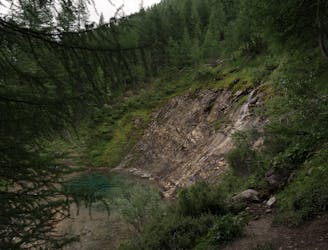
Un exciting trail, lakes, mountain views, a deep forest, a magical water source and more
Moderate Hiking
Nice walk to a lovely and quiet mountain area
Moderate Hiking
Découvrez le Vallon du Prariond au plein coeur du parc de la Vanoise et grimpez jusqu'aux Sources de l'Isère.
Moderate Hiking
Antoine Cretinon
Moderate Hiking