EN:
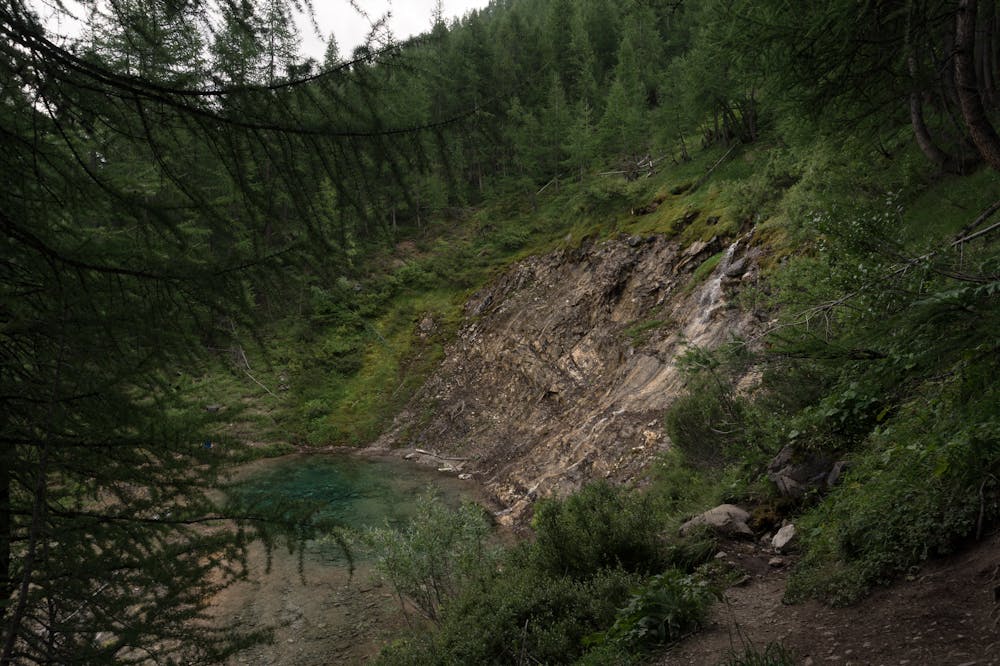
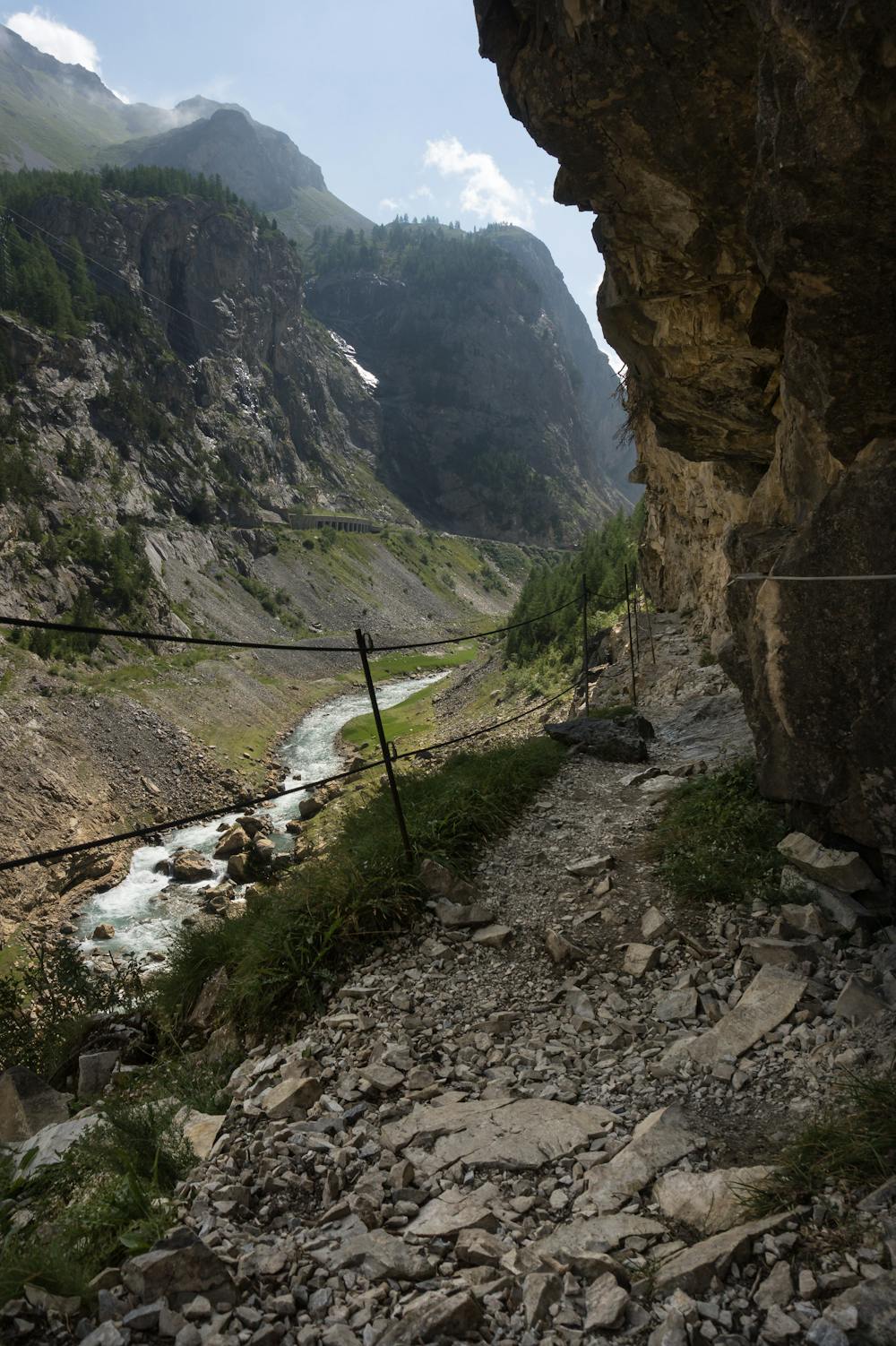
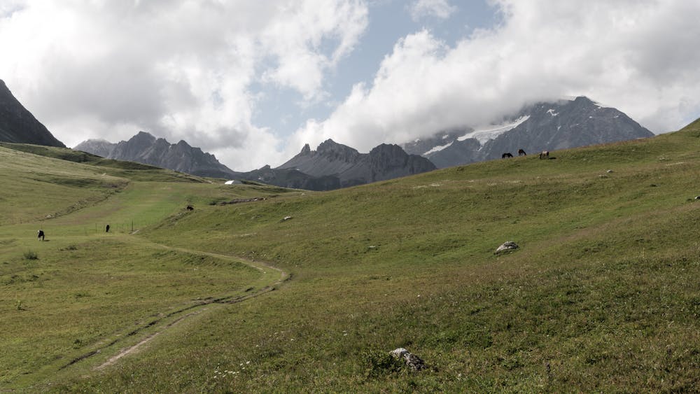
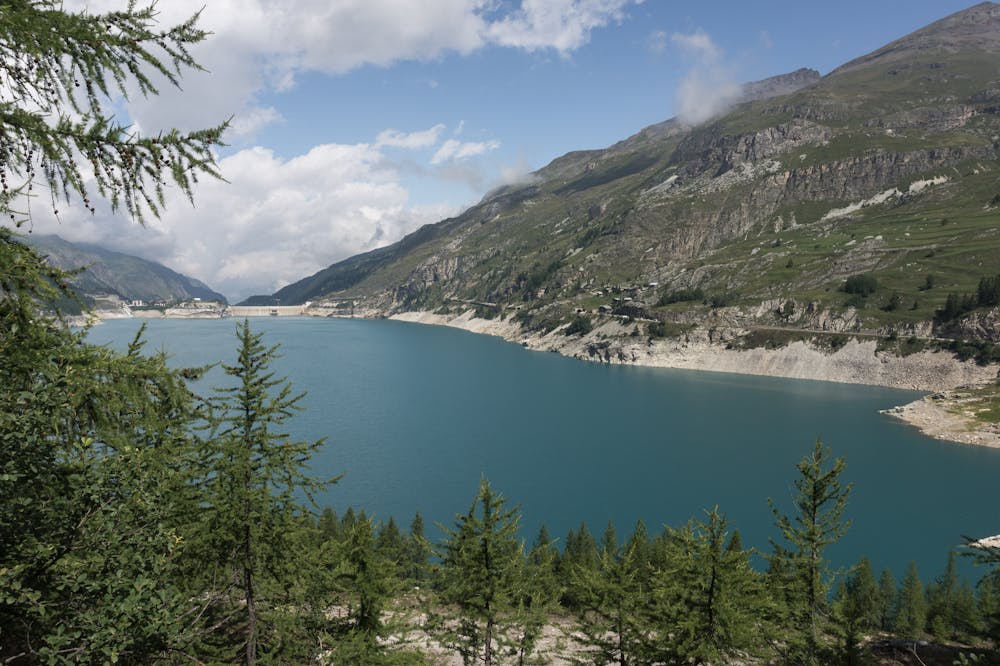
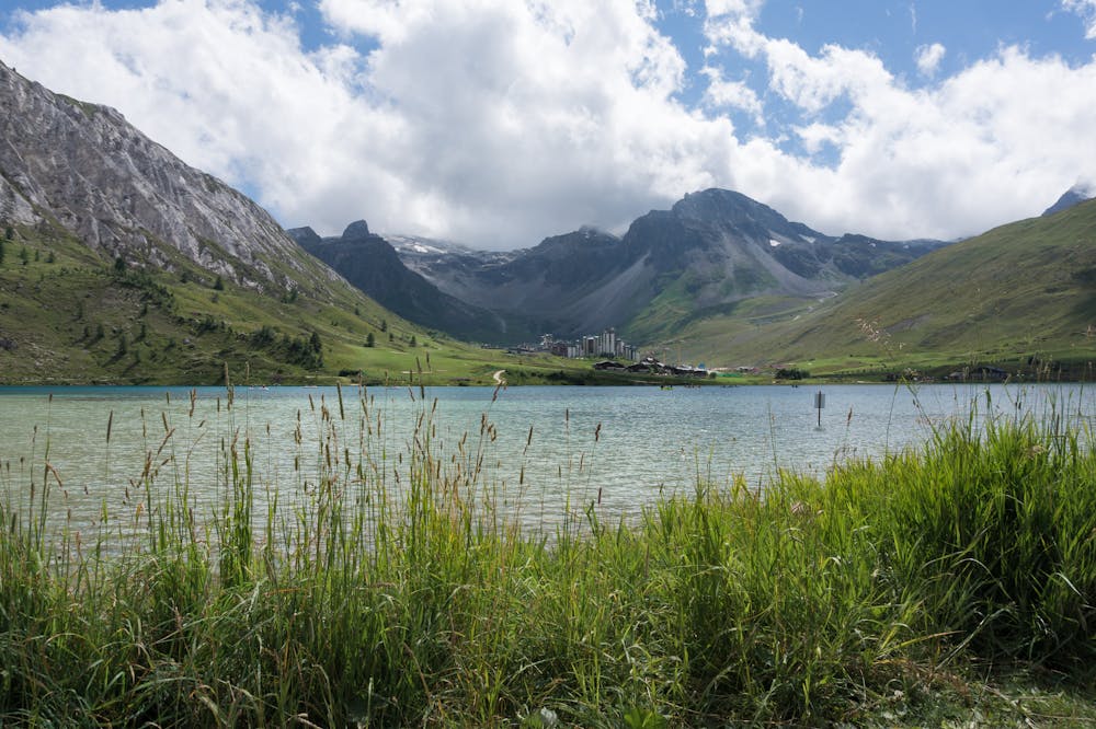
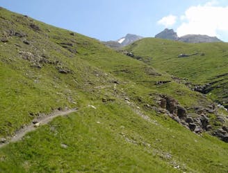
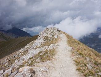
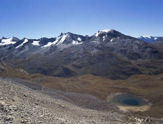
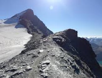
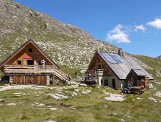
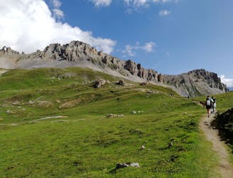
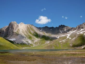
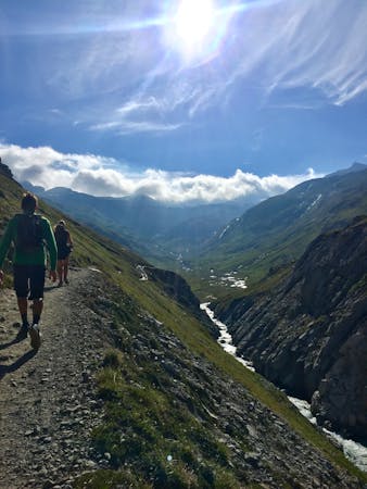
Circular route between La Daille (Val d'Isère) and Tignes-Le Lac. Our way will offer you a variety of sensations and sceneries: a narrow and dizzying path, a deep forest, some mountain lakes and alpine meadows.
FR:
Route circulare pour voyager entre les deux stations de la vallée et faire la découverte de nombreux coins magiques: un sentier assez aérien, des lacs, des alpages vous attendent.
ES:
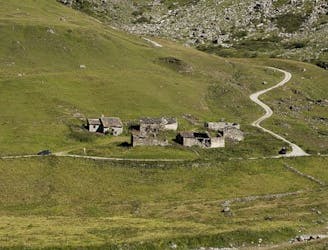
Ruta circular variada e interesante desde La Daille (Val d'Isère): un sendero aéreo te conducirá junto al Lac du Chevril para luego internarte en el pacífico bosque de Laye. En el camino pequeña parada en la Gouille de Salin, una surgencia de las aguas del glaciar de la Grande Motte. Recorrerás Tignes-Le Lac para regresar a la Daille por praderas el un elegante altiplano lleno de pastos con un paso final por la Vallée Perdue.
More info and additional pictures here: https://www.nevasport.com/eMotion365/art/61096/vacaciones-valdIsere-alpes-en-verano/