67 m away
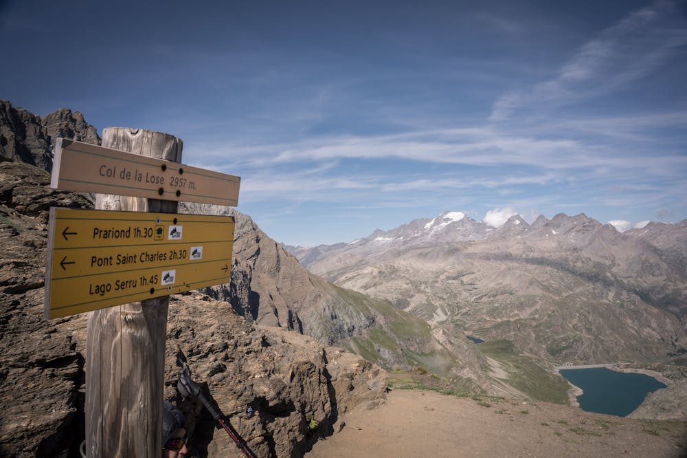
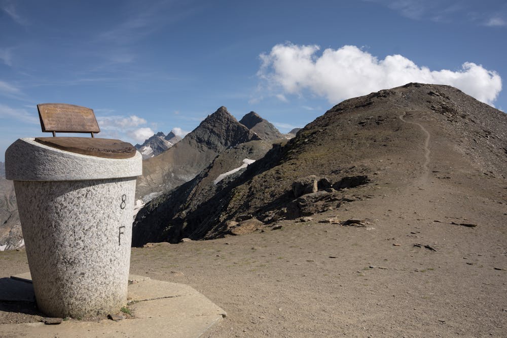
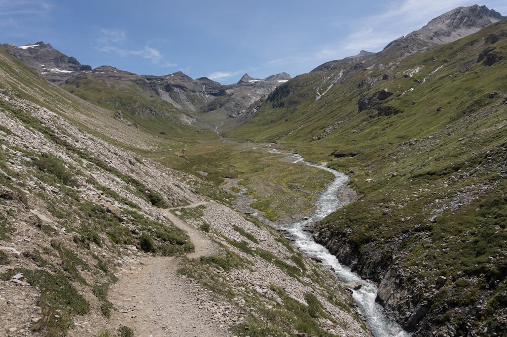
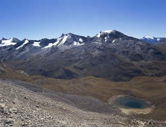
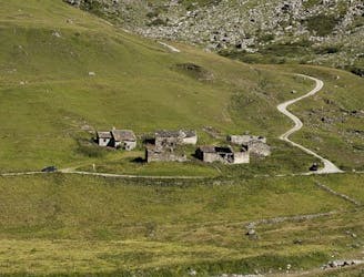
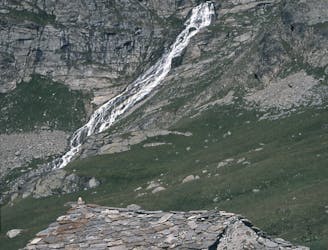
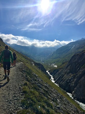
Le Vallon du Prariond
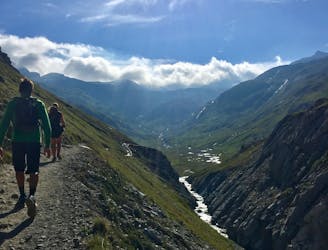
A medium length hike through gorges past grazing animals and leading towards a Col at 2957m.
Moderate Hiking
- Distance
- 11 km
- Ascent
- 955 m
- Descent
- 955 m
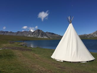
Between two countries and two National Parks
Hiking Moderate

ENGLISH | FRANÇAIS | ESPAÑOL
More info and additional pictures here: https://www.nevasport.com/eMotion365/art/61096/vacaciones-valdIsere-alpes-en-verano/
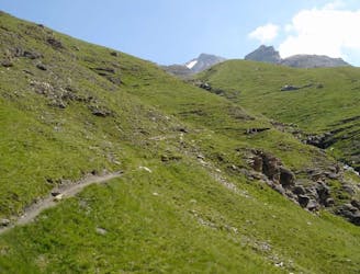
Moderate
Hiking along trails with some uneven terrain and small hills. Small rocks and roots may be present.

The trail contains some obstacles such as outcroppings and rock which could cause injury.

Close to help in case of emergency.
67 m away
A medium length hike through gorges past grazing animals and leading towards a Col at 2957m.
Moderate Hiking
67 m away
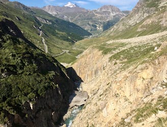
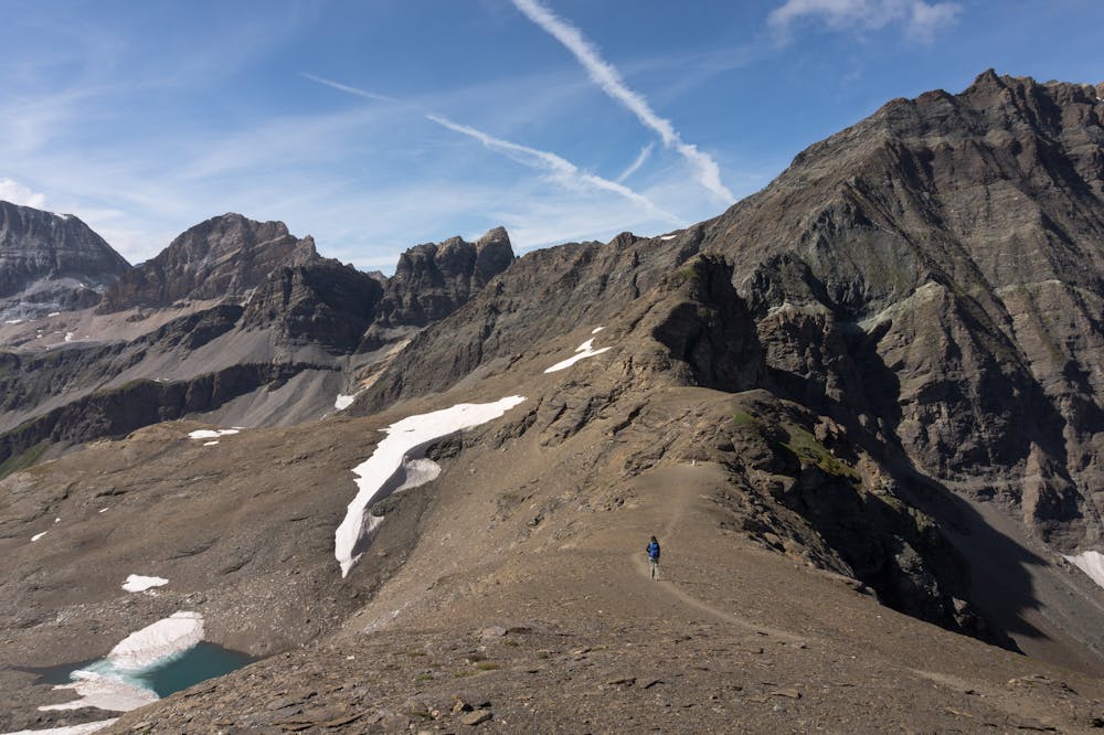
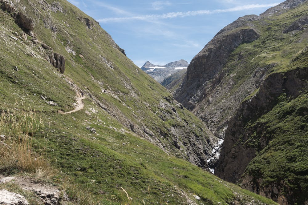
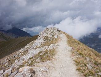
Alternative Col hike from Vallon du Prariond
Moderate Hiking
2.2 km away
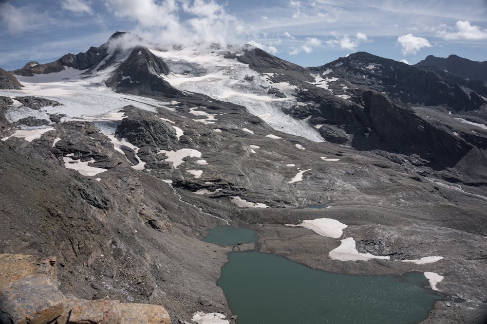
A long-distance hike with a rare landscape on arrival.
Moderate Hiking
4.7 km away
Discover Lac d'Ouillette, hidden from view from the Val d'Isere resort and onwards to a remote, rugged Col.
Moderate Hiking
4.7 km away
A stunning and strenuous round circuit through the Bailletaz Nature Reserve, passing above the glacial Lac de la Sassière.
Difficult Hiking
5.4 km away
A short, accessible summit hike to the rugged heights of Pointe des Fours from the Snow Bridge close to Col d'Iseran.
Moderate Hiking
6.2 km away
This hike towards the Col and Lake Grand Fond in Vanoise National Park offers a superb view of the glaciers, the peaks, and a beautiful lake.
Difficult Hiking
6.3 km away
A walk along the rocky alpine pastures, facing the majestic glacial cirques of the Arc springs.
Moderate Hiking
9.1 km away
A true alpine experience with high exposure along the Tovière ridge.
Moderate Hiking
9.3 km away
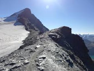
This summit climb provides a high alpine challenge along a ridgeline beside Sassière glacier, with stunning views the entire route.
Difficult Hiking
8 routes · Hiking

14 routes · Hiking