1.9 km away
Pointe des Fours from le Pont de la Neige
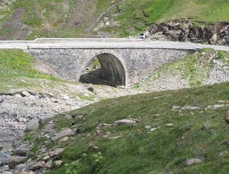
A short, accessible summit hike to the rugged heights of Pointe des Fours from the Snow Bridge close to Col d'Iseran.
Moderate Hiking
- Distance
- 5.7 km
- Ascent
- 545 m
- Descent
- 545 m

An alpine and accesible summit
Hiking Moderate

ENGLISH | FRANÇAIS | ESPAÑOL
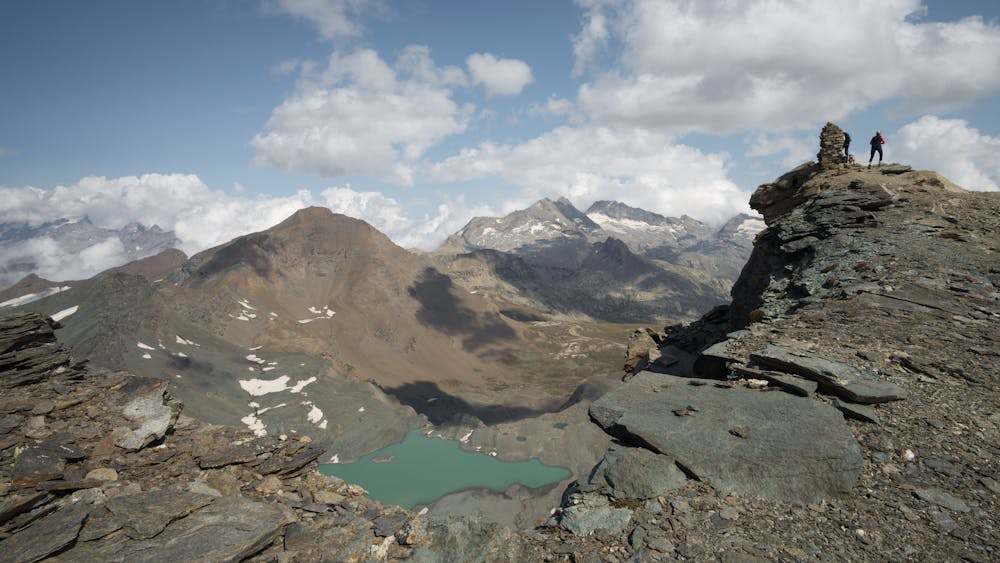
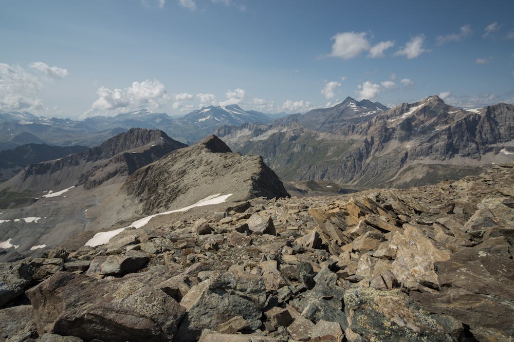
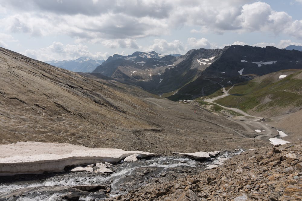
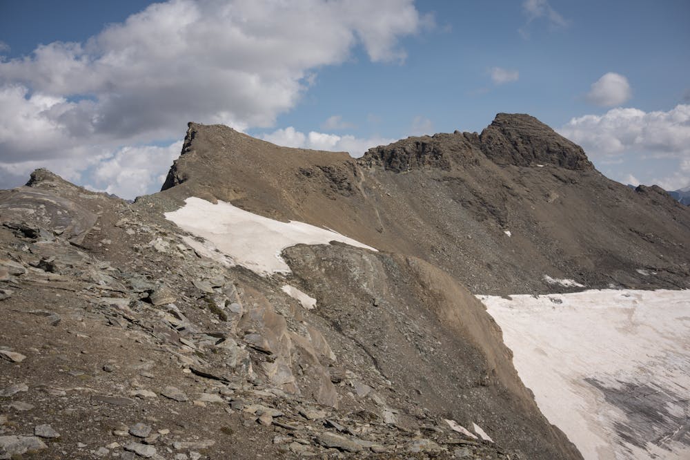
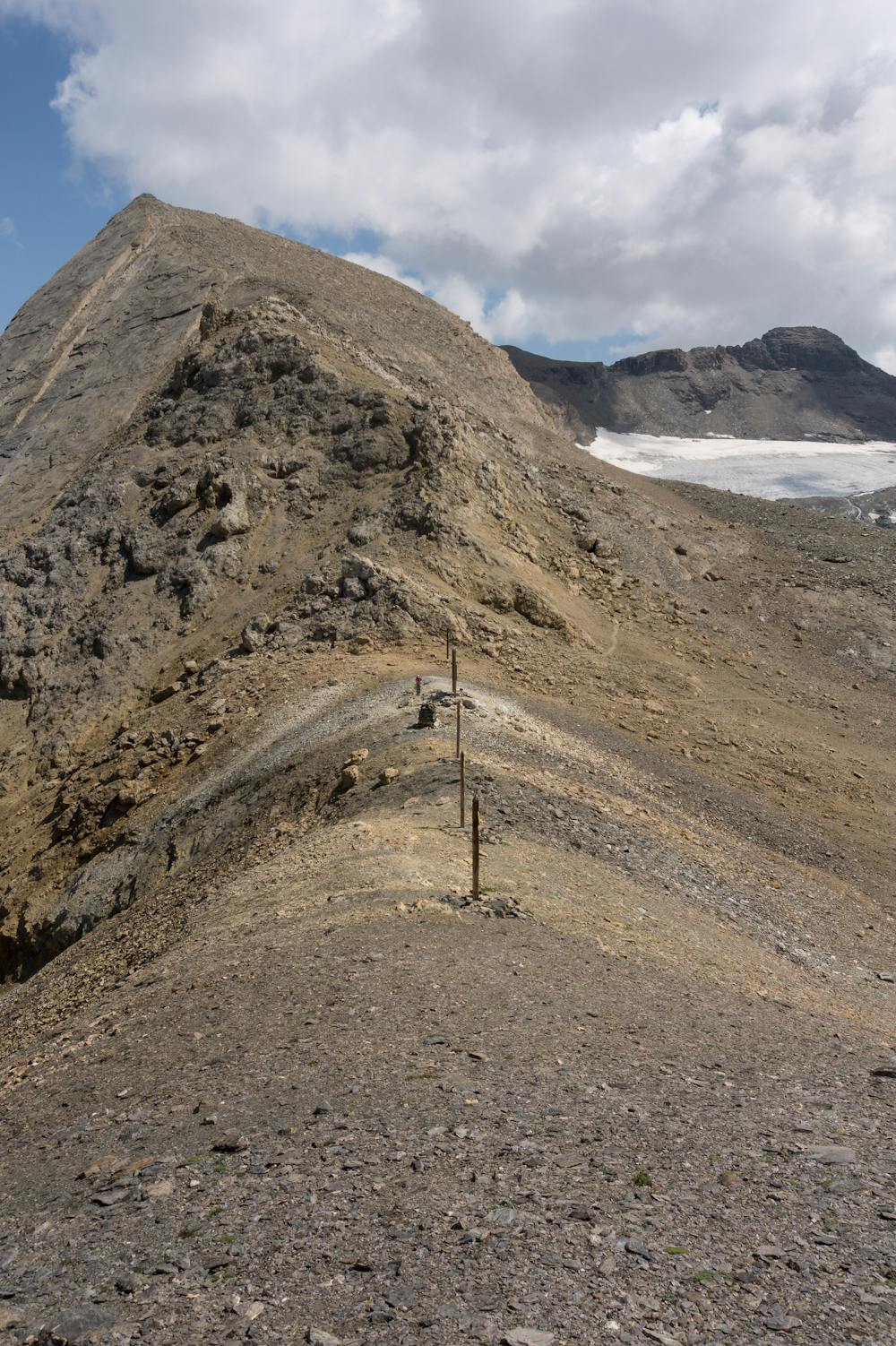
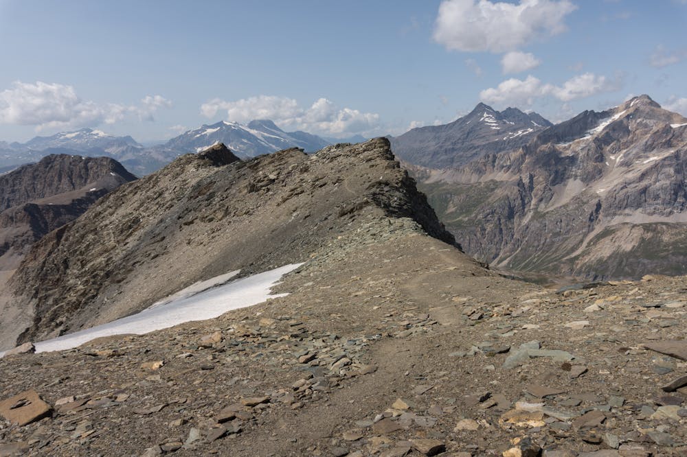
More info and additional pictures here: https://www.nevasport.com/eMotion365/art/61096/vacaciones-valdIsere-alpes-en-verano/
Moderate
Hiking along trails with some uneven terrain and small hills. Small rocks and roots may be present.
1.9 km away

A short, accessible summit hike to the rugged heights of Pointe des Fours from the Snow Bridge close to Col d'Iseran.
Moderate Hiking
2.5 km away
A walk along the rocky alpine pastures, facing the majestic glacial cirques of the Arc springs.
Moderate Hiking
3.7 km away
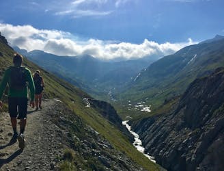
A medium length hike through gorges past grazing animals and leading towards a Col at 2957m.
Moderate Hiking
3.7 km away
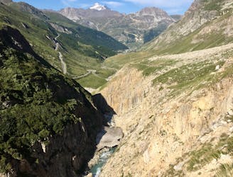
Alternative Col hike from Vallon du Prariond
Moderate Hiking
3.9 km away
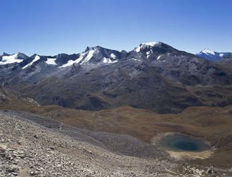
A long-distance hike with a rare landscape on arrival.
Moderate Hiking
5.2 km away
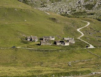
This hike towards the Col and Lake Grand Fond in Vanoise National Park offers a superb view of the glaciers, the peaks, and a beautiful lake.
Difficult Hiking
5.8 km away
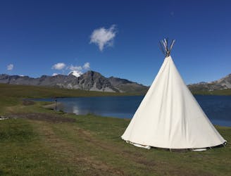
Discover Lac d'Ouillette, hidden from view from the Val d'Isere resort and onwards to a remote, rugged Col.
Moderate Hiking
5.8 km away
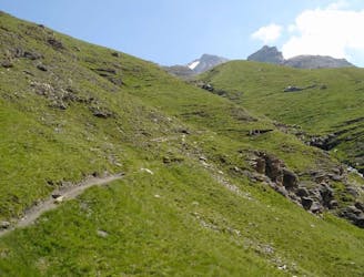
A stunning and strenuous round circuit through the Bailletaz Nature Reserve, passing above the glacial Lac de la Sassière.
Difficult Hiking
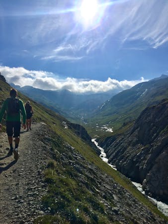
8 routes · Hiking
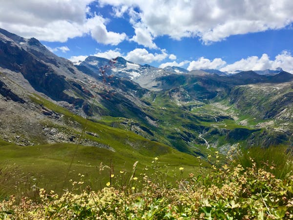
14 routes · Hiking