1.4 km away
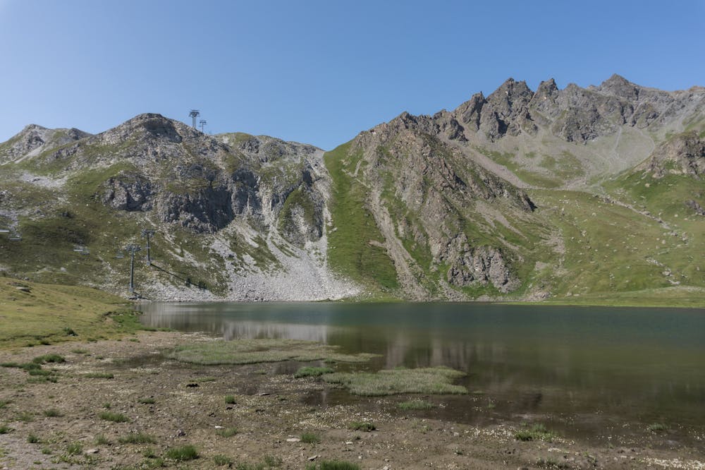
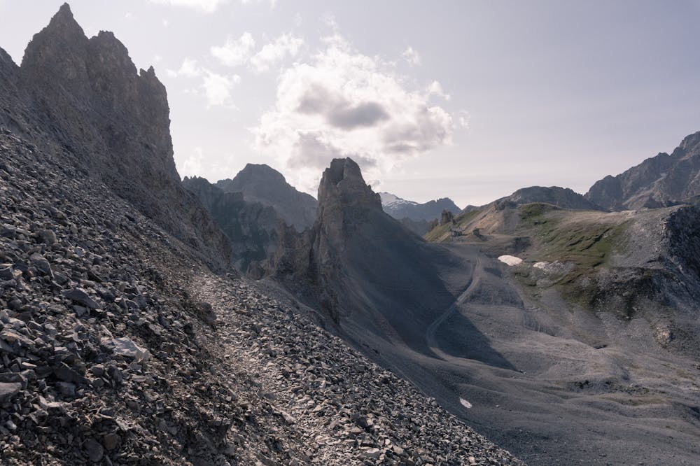
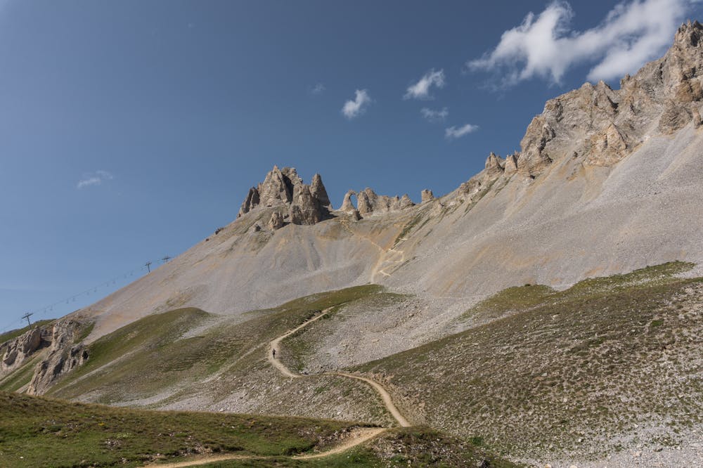
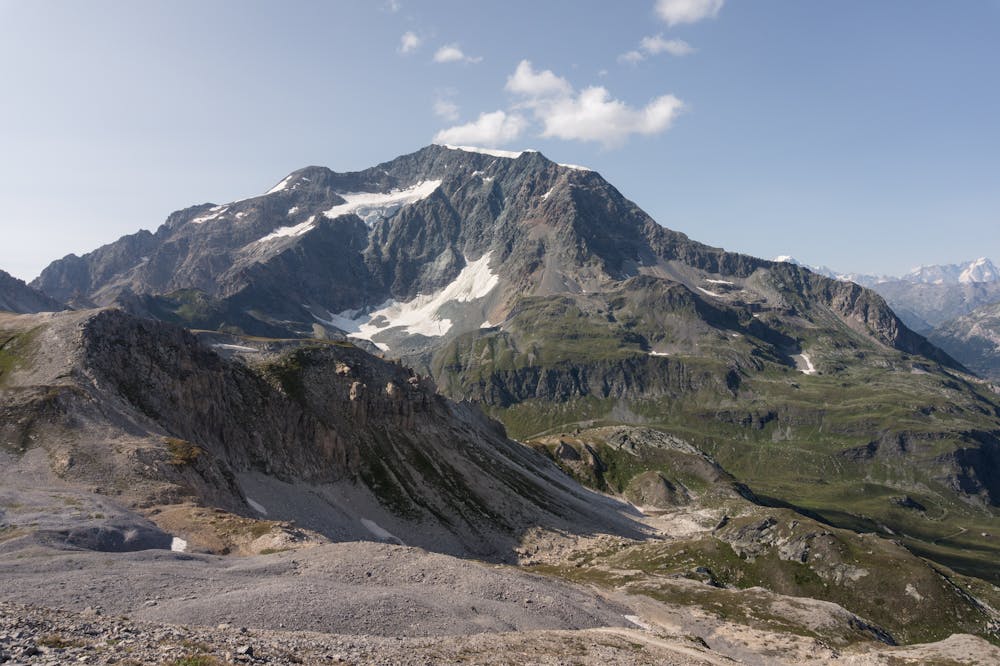
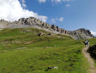
Tour of the Pointe du Chardonnet
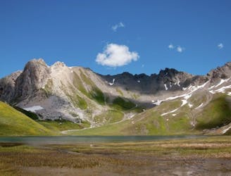
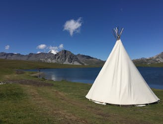
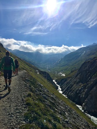
A combination of the Tignes Resort and the heart of the national park. The contrast is amazing but telling of the history of the Vanoise.
Moderate Hiking
- Distance
- 13 km
- Ascent
- 793 m
- Descent
- 793 m
Discovering the secrets of the North area of Tignes ski resort
Hiking Moderate

ENGLISH | FRANÇAIS | ESPAÑOL
More info and additional pictures here: https://www.nevasport.com/eMotion365/art/61096/vacaciones-valdIsere-alpes-en-verano/
Moderate
Hiking along trails with some uneven terrain and small hills. Small rocks and roots may be present.

The trail contains some obstacles such as outcroppings and rock which could cause injury.

Close to help in case of emergency.
1.4 km away
A combination of the Tignes Resort and the heart of the national park. The contrast is amazing but telling of the history of the Vanoise.
Moderate Hiking
1.4 km away
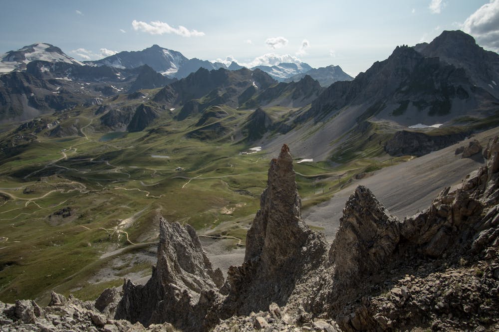
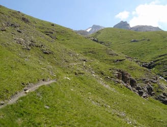
Instead of riding the lift, follow this hike to reach the top of the Palafour Lift and extend the Aiguille Percée hike.
Moderate Hiking
1.4 km away

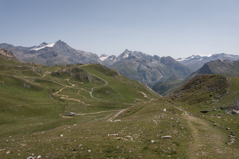
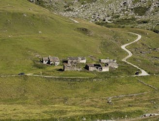
A lovely route with lakes, a dam, traditional alpine hamlets, and beautiful views of Mount Pourri.
Moderate Hiking
1.4 km away
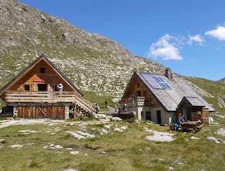
From the shores of Tignes Lake, pass two Cols on your way to the peaceful refuge below Grande Motte.
Moderate Hiking
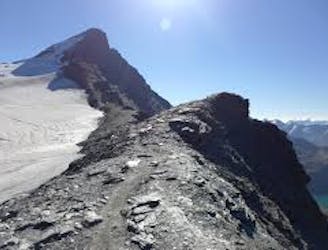
1.8 km away
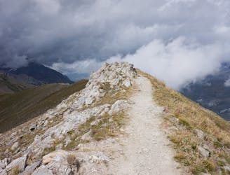
A true alpine experience with high exposure along the Tovière ridge.
Moderate Hiking
2.1 km away
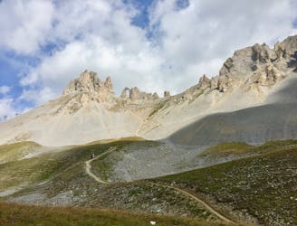
A hike to one of the best geological curiosities in Vanoise National Park: the "eye of the needle" and a spectacular high alpine ridgeline trail.
Difficult Hiking
5.2 km away
This summit climb provides a high alpine challenge along a ridgeline beside Sassière glacier, with stunning views the entire route.
Difficult Hiking
6.2 km away
A stunning and strenuous round circuit through the Bailletaz Nature Reserve, passing above the glacial Lac de la Sassière.
Difficult Hiking
6.2 km away
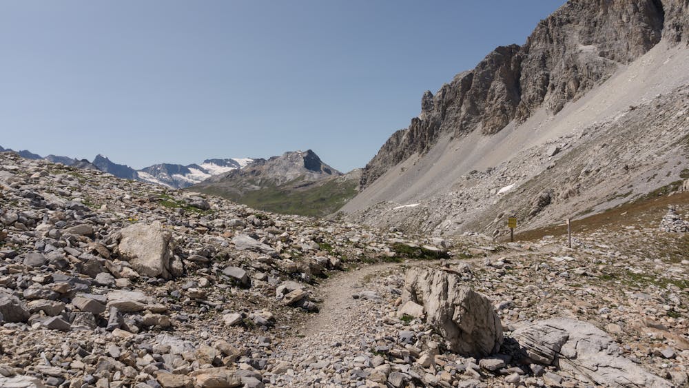
Discover Lac d'Ouillette, hidden from view from the Val d'Isere resort and onwards to a remote, rugged Col.
Moderate Hiking
7 km away
This hike towards the Col and Lake Grand Fond in Vanoise National Park offers a superb view of the glaciers, the peaks, and a beautiful lake.
Difficult Hiking
8 routes · Hiking

14 routes · Hiking