Alta Via Dolomiti 9
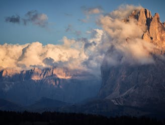
Traverse the Dolomites from west to east along this popular high altitude trail.
Severe Hiking
- Distance
- 122 km
- Ascent
- 5 km
- Descent
- 5 km

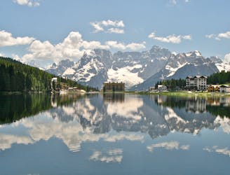
Made up of three mountain ranges Cortina spoils for choice. Well known for its steep couloirs there is a lot to keep a freerider entertained here.
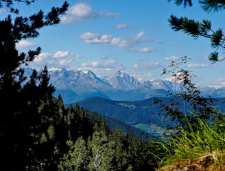
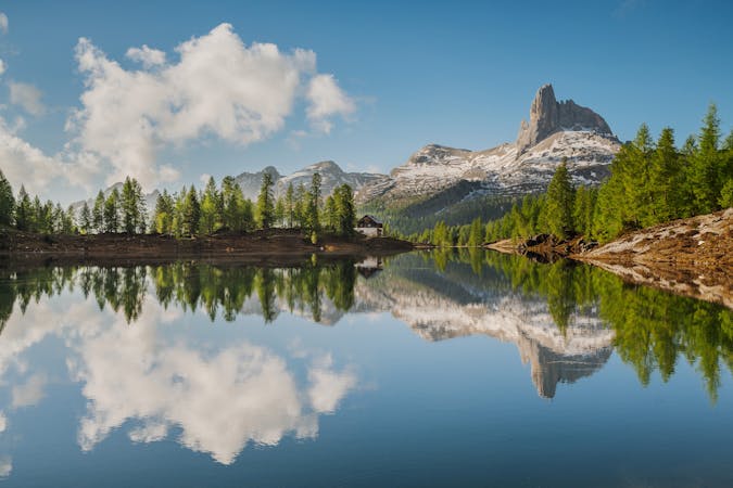
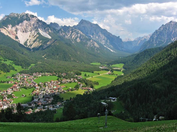
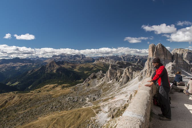
Go hiking in Cortina d'Ampezzo with curated guides of the best hikes across the region. With over 228 3D trail maps in FATMAP, you can easily discover and navigate the best trails in Cortina d'Ampezzo.
No matter what your next adventure has in store, you can find a guide on FATMAP to help you plan your next epic trip.
Get a top hiking trail recommendation in Cortina d'Ampezzo from one of our 10 guidebooks, or get inspired by the 228 local adventures uploaded by the FATMAP community. Start exploring now!

Traverse the Dolomites from west to east along this popular high altitude trail.
Severe Hiking
One of the shorter yet more challenging of the 10 Alta Via Dolomiti hiking trails.
Difficult Hiking
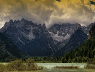
A challenging 100km high altitude hike across the eastern Dolomites.
Difficult Hiking
The classic route of the 10 Alta Via Dolomiti high altitude trails.
Moderate Hiking
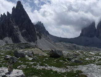
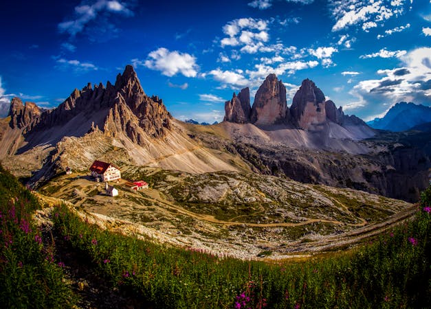
A beautiful loop around the most famous mountains in the Dolomites - The Tre Cime
Moderate Hiking

4 days Dolomitic hike | Day 4
Moderate Hiking

4 days Dolomitic hike | Day 3
Moderate Hiking

4 days Dolomitic hike | Day 1
Moderate Hiking
3 routes · Hiking
2 routes · Hiking

10 routes · Hiking
7 routes · Hiking
6 routes · Hiking
6 routes · Mountain Biking · Hiking
7 routes · Hiking