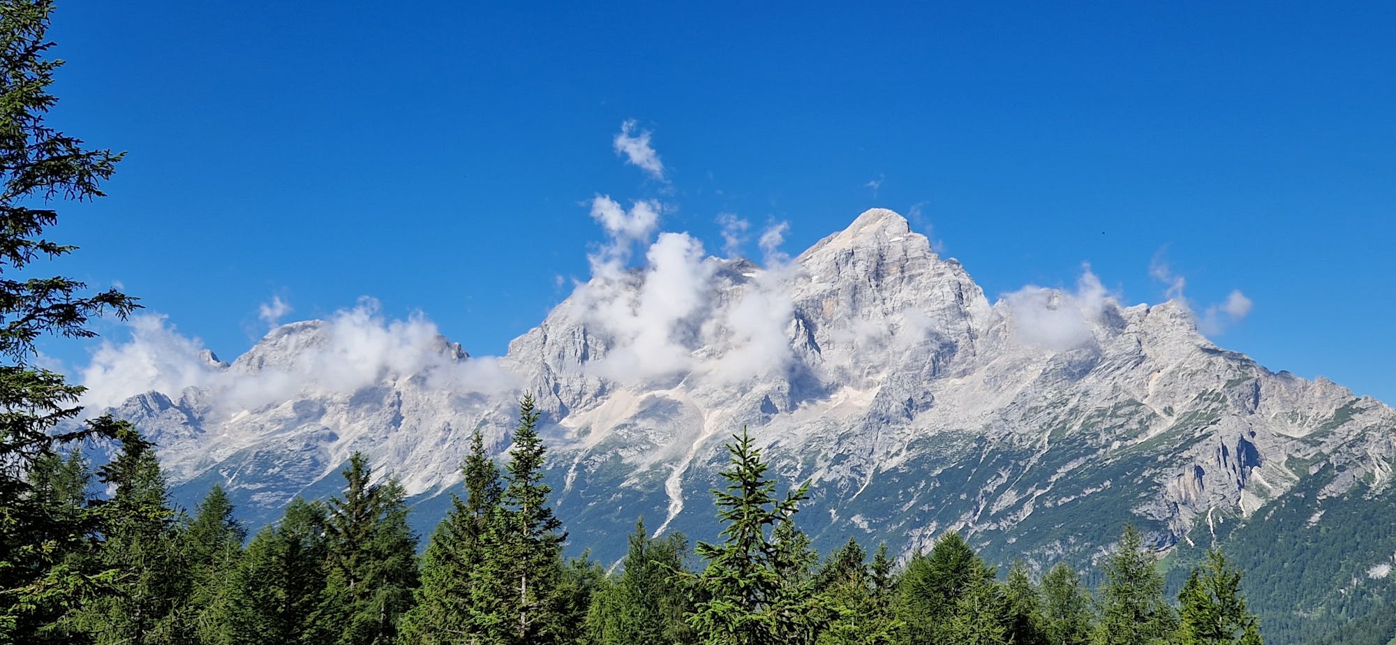
Dolomiti - Lago di Federa / Croda da Lago

Dolomiti - Lago di Federa / Croda da Lago
Moderate Hiking
- Distance
- 11 km
- Ascent
- 529 m
- Descent
- 528 m
Go hiking in Belluno with curated guides of the best hikes across the region. With over 273 3D trail maps in FATMAP, you can easily discover and navigate the best trails in Belluno.
No matter what your next adventure has in store, you can find a guide on FATMAP to help you plan your next epic trip.
Get a top hiking trail recommendation in Belluno from one of our 18 guidebooks, or get inspired by the 273 local adventures uploaded by the FATMAP community. Start exploring now!
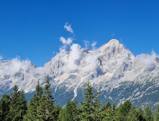
Dolomiti - Lago di Federa / Croda da Lago
Moderate Hiking

Dolomiti - Passo Giau - Lago della Baste - Monte Corvo
Moderate Hiking
Anello del Pelmo [antiorario] - (Rifugio Staulanza, rifugio Venezia, Val d'Arcia)
Difficult Hiking

Needs good skills and training
Severe Hiking
Partenza da parcheggio San Uberto
Moderate Hiking

Van de Pale di San Martino over de Vette Feltrine.
Difficult Hiking

ALTA VIA 1 - STAGE 11 - RIFUGIO PIAN DI FONTANA to Le Pissa Bus Stop (END)
Difficult Hiking

ALTA VIA 1 - STAGE 10 - SEPT 13th RIFUGIO PIAN DI FONTANA - Bunk Room HB
Difficult Hiking

ALTA VIA 1 - STAGE 7 - SEPT 10th RIFUGIO VAZZOLER - Private Room HB
Easy Hiking

ALTA VIA 1 - STAGE 11 - RIFUGIO PIAN DI FONTANA to Le Pissa Bus Stop (END)
Moderate Hiking

ALTA VIA 1 - STAGE 10 - RIFUGIO PRAMPERET TO RIFUGIO PIAN DI FONTANA
Moderate Hiking

ALTA VIA 1 - STAGE 9 - RIFUGIO CARESTIATO TO RIFUGIO PRAMPERET
Moderate Hiking

ALTA VIA 1 - STAGE 8 - RIFUGIO VAZZOLER TO RIFUGIO CARESTIATO
Moderate Hiking

ALTA VIA 1 - STAGE 7 - RIFUGIO TISSI TO RIFUGIO VAZZOLER
Moderate Hiking

STAGE 4 - SEPT. 7 LAGAZUOI TO SCOIATTOLI
Moderate Hiking

Cima Laste (not till the top)
Moderate Hiking