4.4 km away
Alta Via 2 – Rifugio Pradidali to Rifugio Treviso including Via Ferrata Del Canalone
Prepare the mind, body and soul for 1300m of descent!
Extreme Hiking
- Distance
- 7.9 km
- Ascent
- 887 m
- Descent
- 1.5 km
Van de Pale di San Martino over de Vette Feltrine.
Also in Trento, Italy
Hiking Difficult

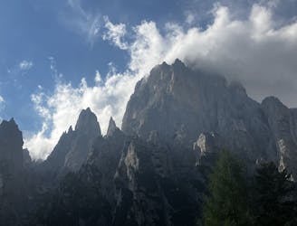
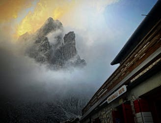
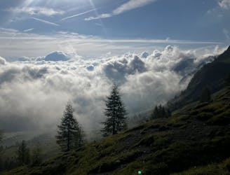
This is a popular hiking route which is generally considered to be difficult. It's very remote, it features high exposure and is typically done between June and September. From a low point of 1 km to the maximum altitude of 2.7 km, the route covers 57 km, 5144 vertical metres of ascent and 5607 vertical metres of descent.
4 day hike following partially the AV2.
Difficult
Hiking trails where obstacles such as rocks or roots are prevalent. Some obstacles can require care to step over or around. At times, the trail can be worn and eroded. The grade of the trail is generally quite steep, and can often lead to strenuous hiking.

Some trail sections have exposed ledges or steep ascents/descents where falling could cause serious injury.
Little chance of being seen or helped in case of an accident.
4.4 km away
Prepare the mind, body and soul for 1300m of descent!
Extreme Hiking
5.8 km away
A moderately hard day with some tiresome ascents and steep descents!
Extreme Hiking
8.1 km away

A never-ending section of the AV2!
Severe Hiking
8.3 km away
A shorter day on the AV2 but options to explore!
Severe Hiking

11 routes · Hiking