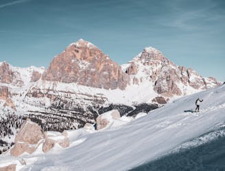
ALTA VIA 1 - STAGE 9 - RIFUGIO CARESTIATO TO RIFUGIO PRAMPERET

ALTA VIA 1 - STAGE 9 - RIFUGIO CARESTIATO TO RIFUGIO PRAMPERET
Moderate Hiking
- Distance
- 11 km
- Ascent
- 665 m
- Descent
- 424 m
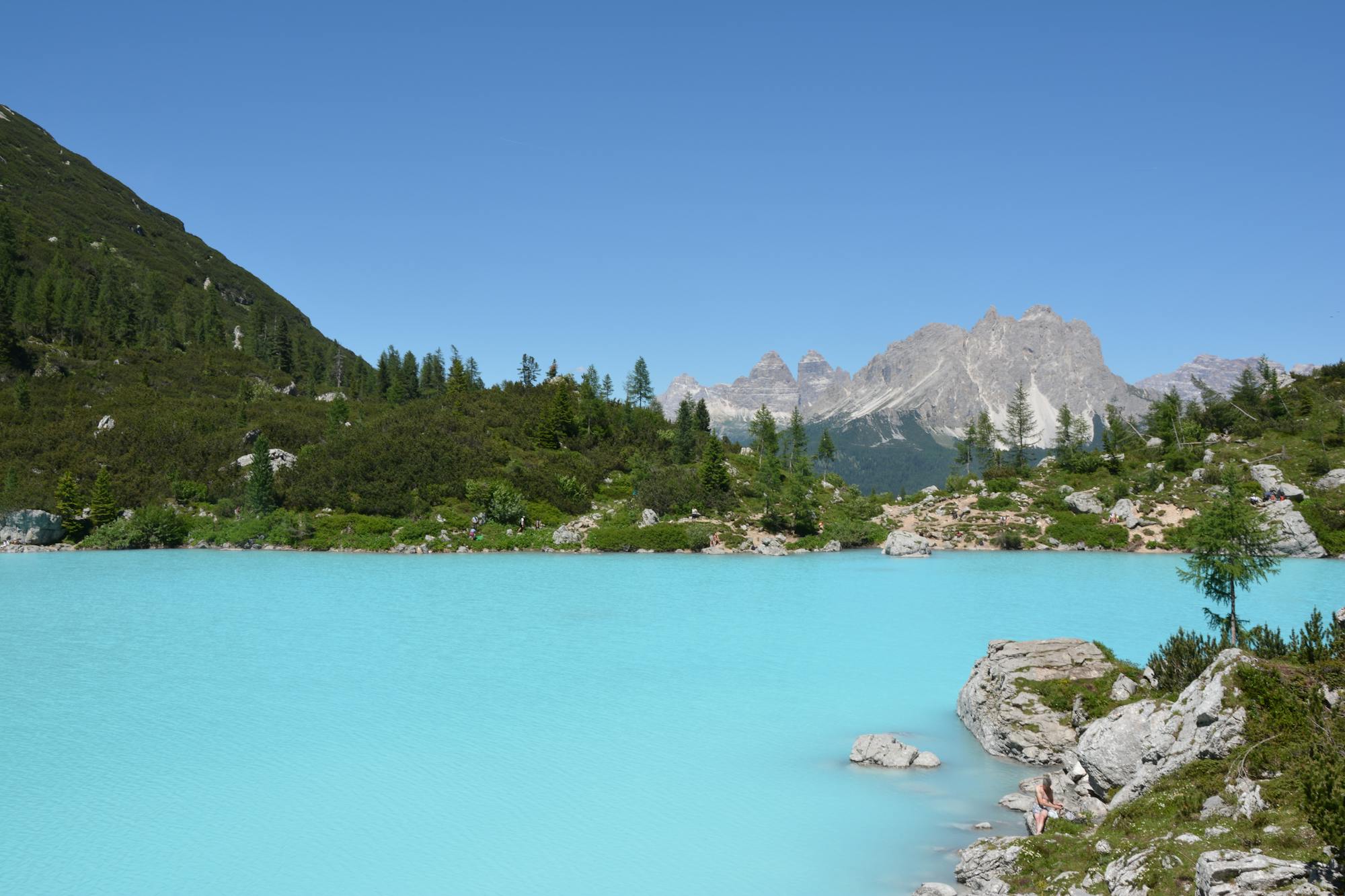
Explore Belluno with curated guides of the best hiking trails, mountain bike trails, trail running routes, ski routes, and more. With over 276 3D trail maps in FATMAP, you can easily discover and navigate the best trails in Belluno.
No matter what your next adventure has in store, you can find a guide on FATMAP to help you plan your next epic trip.
Get a top trail recommendation in Belluno from one of our 18 guidebooks, or get inspired by the 276 local adventures uploaded by the FATMAP community. Start exploring now!
ALTA VIA 1 - STAGE 9 - RIFUGIO CARESTIATO TO RIFUGIO PRAMPERET
Moderate Hiking

ALTA VIA 1 - STAGE 8 - RIFUGIO VAZZOLER TO RIFUGIO CARESTIATO
Moderate Hiking

ALTA VIA 1 - STAGE 7 - RIFUGIO TISSI TO RIFUGIO VAZZOLER
Moderate Hiking

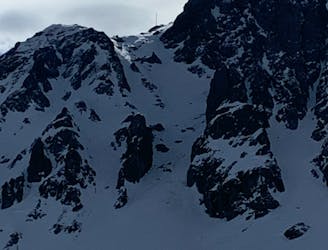
STAGE 4 - SEPT. 7 LAGAZUOI TO SCOIATTOLI
Moderate Hiking

Classic beginners route, great surroundings and view on Ampezzo
Easy Ski Touring

Cima Laste (not till the top)
Moderate Hiking

An amazing route for a day hike or overnight below Antelao
Moderate Hiking

AV2 Alta Via delle Dolomiti n.2 (with a twist towards Cadore after stage 7 - From Rosetta to Pelmo, San Vito, forcella piccola Antelao, Calalzo)
Difficult Hiking

giro ad anello opzionale
Easy Hiking

Cadini di Misurina - Paternkofel (via ferrata) - Sextenstein
Difficult Hiking

Affrontiamo la salita al famoso colle tralasciando le classiche tracce, e prendiamo quasi subito una deviazione che ci porta a guadagnare quota velocemente, seguendo una traccia che si fa via via più lieve fino a sparire in prossimità del bosco sovrastante. Ritrovata la traccia del sentiero 2 che sale da Praderadego, percorriamo la medesima per qualche centinaio di metri per poi abbandonarla ancora a favore del meno battuto sentiero E7 che ci accompagna nel giro di qualche decina di minuti sul Col de Moi. Per il rientro abbiamo optato per non prendere la classica traccia che scende a Sud ma di dirigerci in direzione forcella Foran per poi agganciare sulla sinistra il sentiero 1071 Ortesie Basse chi ci ripagherà con un magnifico percorso attraversando, perdendo dolcemente quota, il versante sud del Col de Moi. Il sentiero delle Ortesie basse ci accompagna in circa 45 minuti alla zona di partenza. Il percorso non presenta particolari difficoltà nel tratto iniziale, ma richiede,nella seconda parte, un po' di attenzione dal 1071 (poi 991) in quanto alcuni passaggi sono esposti.
Moderate Hiking
3 easy accessible couloirs, 5 min bootpack from Padon 2
Moderate Freeride Skiing
One of the most classical freerides in Cortina, surrounded by a fairytale-like panorama: the descent takes its name from the namesake ski club, one of the most famous in the history of Italian ski.
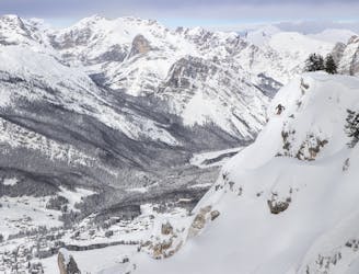
Difficult Freeride Skiing
A round trip surrounded by the charming landscape of Croda Rossa d’Ampezzo and its impressive rocky walls.
Difficult Ski Touring

Difficult tour which pays you back with a huge satisfactionbut highly rewarding tour: one of the most beautiful slopes in the world, the climb up to Forcella Staunies, one of the most beautiful slopes in the world, is nowadays an itinerary loved by every ski mountaineer.
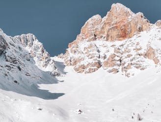
Severe Ski Touring
This tour, popular even after snowfalls due to its safety, is easy and yet will surprise you with an astonishing view of the Dolomites.
Easy Ski Touring