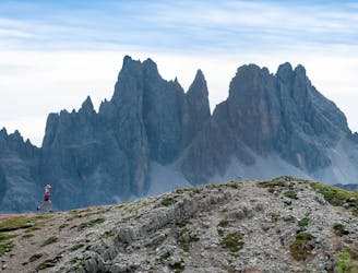
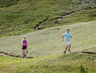
The itinerary of the famous Lavaredo Ultratrail, the international race that takes place in Cortina every year: one of the most beautiful Trail Running competition of the world
Difficult Trail Running
- Distance
- 120 km
- Ascent
- 5.6 km
- Descent
- 5.6 km
A short edition of Lavaredo Ultra Trail, that leads to the beautiful Dolomites of Giau and Falzarego Passes
Difficult Trail Running
- Distance
- 48 km
- Ascent
- 2.7 km
- Descent
- 2.7 km
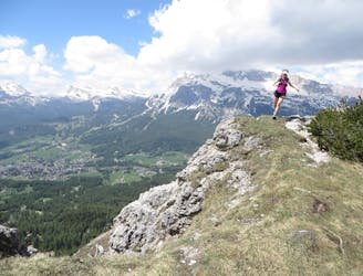
Run along the new fantastic itinerary that opens the Lavaredo Ultra Trail.
Moderate Trail Running
- Distance
- 20 km
- Ascent
- 1.1 km
- Descent
- 1.1 km
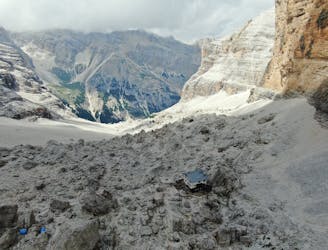
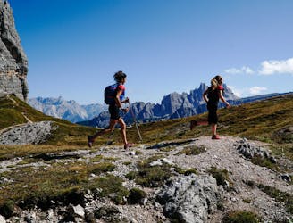
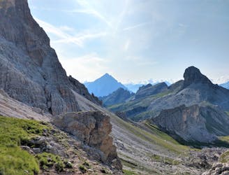
A Trail Running route that is entirely on a single path, starting from the valley floor and taking you straight to the heart of the Tofane mountains and reaching 2,580 m, going across scree slopes and along hairpin bends.
Difficult Trail Running
- Distance
- 22 km
- Ascent
- 1.4 km
- Descent
- 1.4 km
A Trail Running route within the Natural Park of the Ampezzo Dolomites which runs all the way around Mount Croda de r’Ancona.
Difficult Trail Running
- Distance
- 33 km
- Ascent
- 1 km
- Descent
- 1 km
A Trail Running route in the Natural Park of the Ampezzo Dolomites, and the Nature Park of Fanes, Sennes and Prags; in this way, it enables runners to savour every facet of the Dolomites.
Moderate Trail Running
- Distance
- 23 km
- Ascent
- 1.1 km
- Descent
- 585 m
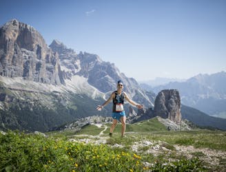
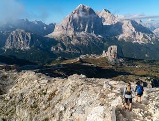
An exceptional Trail Running route with views of the Cinque Torri, Nuvolau, Averau and Croda da Lago mountains, and a short stretch in the beautiful Val Travenanzes.
Difficult Trail Running
- Distance
- 30 km
- Ascent
- 1.6 km
- Descent
- 1.6 km
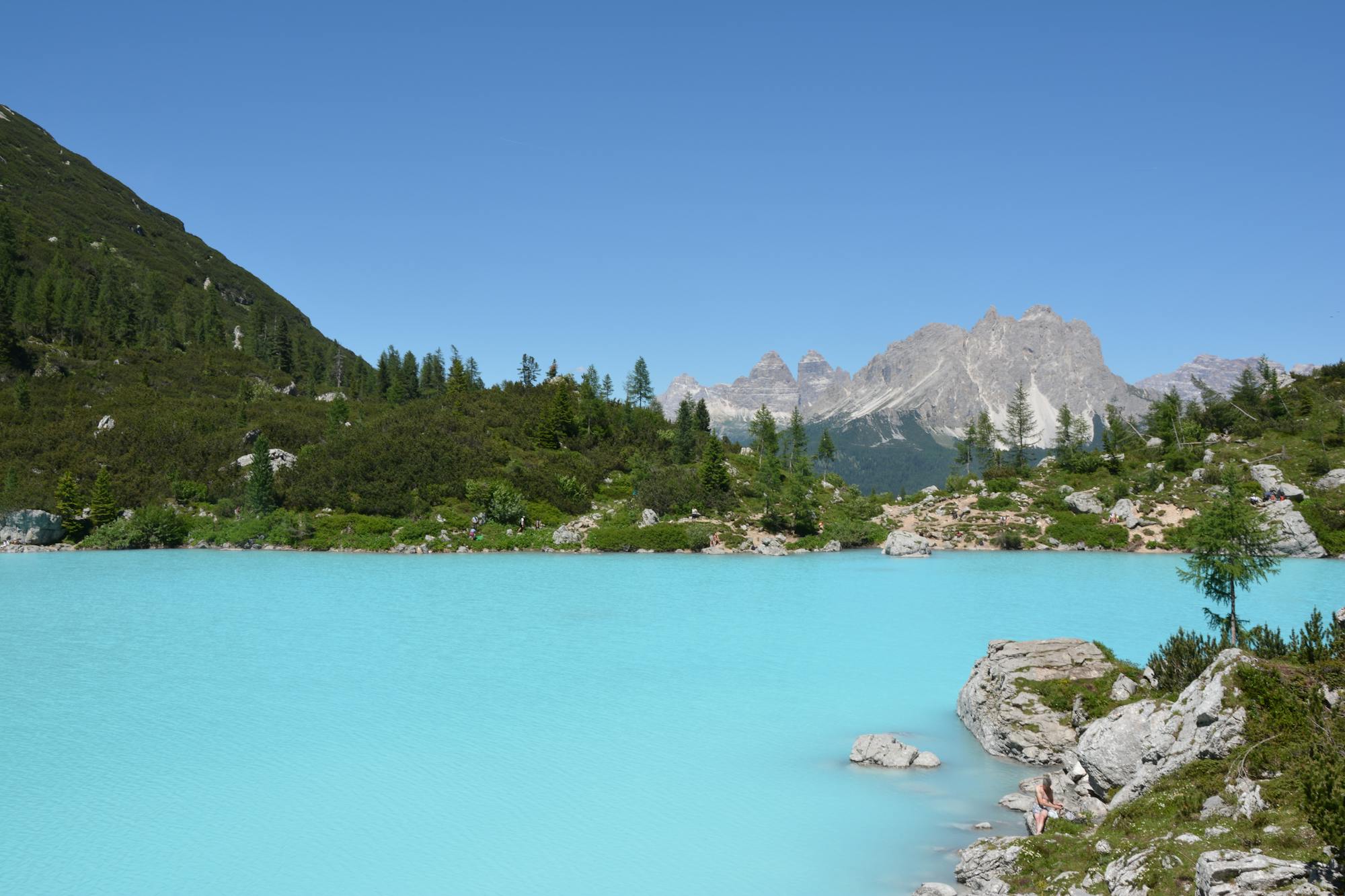
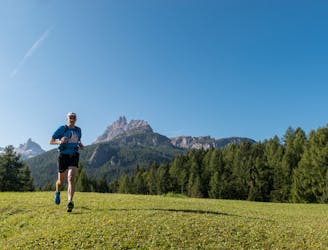
A beautiful Trail running Tour across mountain, forest and lake with an amazing landscape
Difficult Trail Running
- Distance
- 38 km
- Ascent
- 2.1 km
- Descent
- 2.1 km
A circular trail running route that goes all the way around Monte Nuvolau: a wonderful circuit starting from the Giau Pass and providing exceptional views of the Dolomites and reaching four traditional mountain lodges.
Moderate Trail Running
- Distance
- 8 km
- Ascent
- 448 m
- Descent
- 448 m
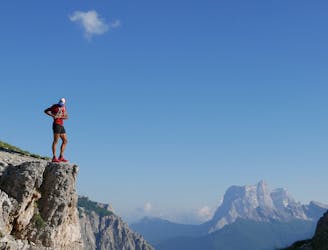
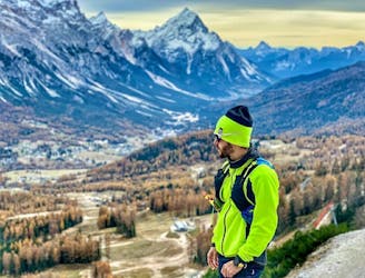
An incredible Trail Running route set in Cortina d’Ampezzo’s history and nature, from the Pocol Military Sacrarium to the Belvedere, revealing the Ampezzo Valley’s innumerable facets. The trail is located to the north-west of Cortina, in the Tofane mountains area.
Easy Trail Running
- Distance
- 6.6 km
- Ascent
- 418 m
- Descent
- 419 m
An unmissable Trail Running circuit that reaches lakes d’Ajal and Pianozes, crossing spectacular rivers and forests.
Easy Trail Running
- Distance
- 9.4 km
- Ascent
- 548 m
- Descent
- 520 m
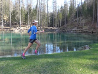
A nice Trail running Tour Trough lake and forest
Moderate Trail Running
- Distance
- 11 km
- Ascent
- 618 m
- Descent
- 557 m
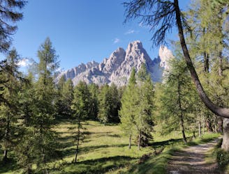
A remarkable Trail Running route that flanks the Croda da Lago mountain chain, going through forests and alongside one of the most beautiful lakes in the Dolomites
Difficult Trail Running
- Distance
- 23 km
- Ascent
- 1.6 km
- Descent
- 1.6 km
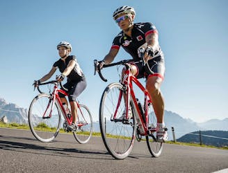
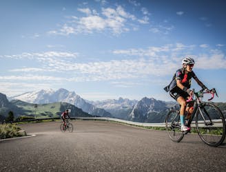
One of the most challenging routes through the famous passes that have often hosted the Dolomite stage of the Giro d’Italia. Your efforts will be rewarded with breathtaking panoramas of enchanting beauty and highly evocative views of some of the most famous peaks of the Dolomites. You will also pass through various mountain villages, with their own peculiar characteristics, which are fun to discover.
Difficult Road Biking
- Distance
- 121 km
- Ascent
- 4 km
- Descent
- 4 km
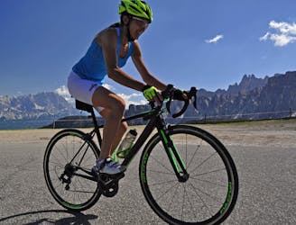
A fantastic 122-km circular route with over 2,000 m of ascent through Val Badia and Val Pusteria, with departure and arrival point in Cortina d’Ampezzo.
Difficult Road Biking
- Distance
- 122 km
- Ascent
- 2.5 km
- Descent
- 2.5 km
A spectacular 116-km route with an ascent of more than 3,000 metres along some of the most enchanting Dolomite passes, with arrival and departure point in Cortina d’Ampezzo.
Difficult Road Biking
- Distance
- 117 km
- Ascent
- 3.4 km
- Descent
- 3.4 km