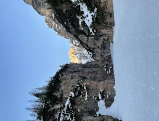
Ben vario

Spontaneo, con tutti gli elementi di una degna camminata
Moderate Hiking
- Distance
- 8.2 km
- Ascent
- 1 km
- Descent
- 48 m
Explore Bozen with curated guides of the best hiking trails, mountain bike trails, ski routes, and more. With over 171 3D trail maps in FATMAP, you can easily discover and navigate the best trails in Bozen.
No matter what your next adventure has in store, you can find a guide on FATMAP to help you plan your next epic trip.
Get a top trail recommendation in Bozen from one of our 23 guidebooks, or get inspired by the 171 local adventures uploaded by the FATMAP community. Start exploring now!
Spontaneo, con tutti gli elementi di una degna camminata
Moderate Hiking
Zona: gruppo Puez/Odle Lunghezza: 38km Dislivello:2260m (con doppia funivia fino stazione monte Seceda 1300m) Cartina: Tabacco n° 05 1:25000 (Val Gardena) Luogo di partenza e arrivo: Selva di Val Gardena (BZ)
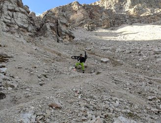
Severe Mountain Biking

SEPT 5th - ALTA VIA 1 TREK - STAGE 2 Private Room @ RIFUGIO MUNTAGNOLES HB
Moderate Hiking

STAGE 1 - SEPT. 4th Private room at Fodara Vedla HB
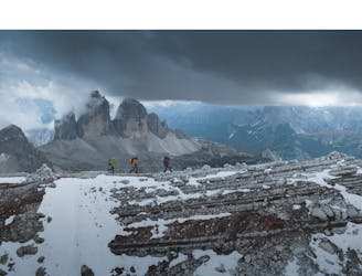
Difficult Hiking

ALTA VIA 1 DOLOMITES - STAGE 2 SEPT. 5th
Moderate Hiking

ALTA VIA 1 SEPT. 4th STAGE 1
Difficult Hiking
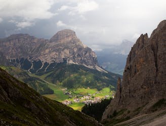
Amazing Viewpoint over Dolomites
Difficult Hiking
Rewarding hike to one of the peaks of Sella Group
Difficult Hiking

AV2 Alta Via delle Dolomiti n.2 (with a twist towards Cadore after stage 7 - From Rosetta to Pelmo, San Vito, forcella piccola Antelao, Calalzo)
Difficult Hiking

Sarntal - Hortlahner Spitze - Punta Lavine
Difficult Ski Touring

Sarntal - Hohe Scheibe - Cima Capra
Difficult Ski Touring

Sarntal - Teufentaler Skitouring
Moderate Ski Touring

Sarntal - Sulspitz Ski Touring
Difficult Ski Touring
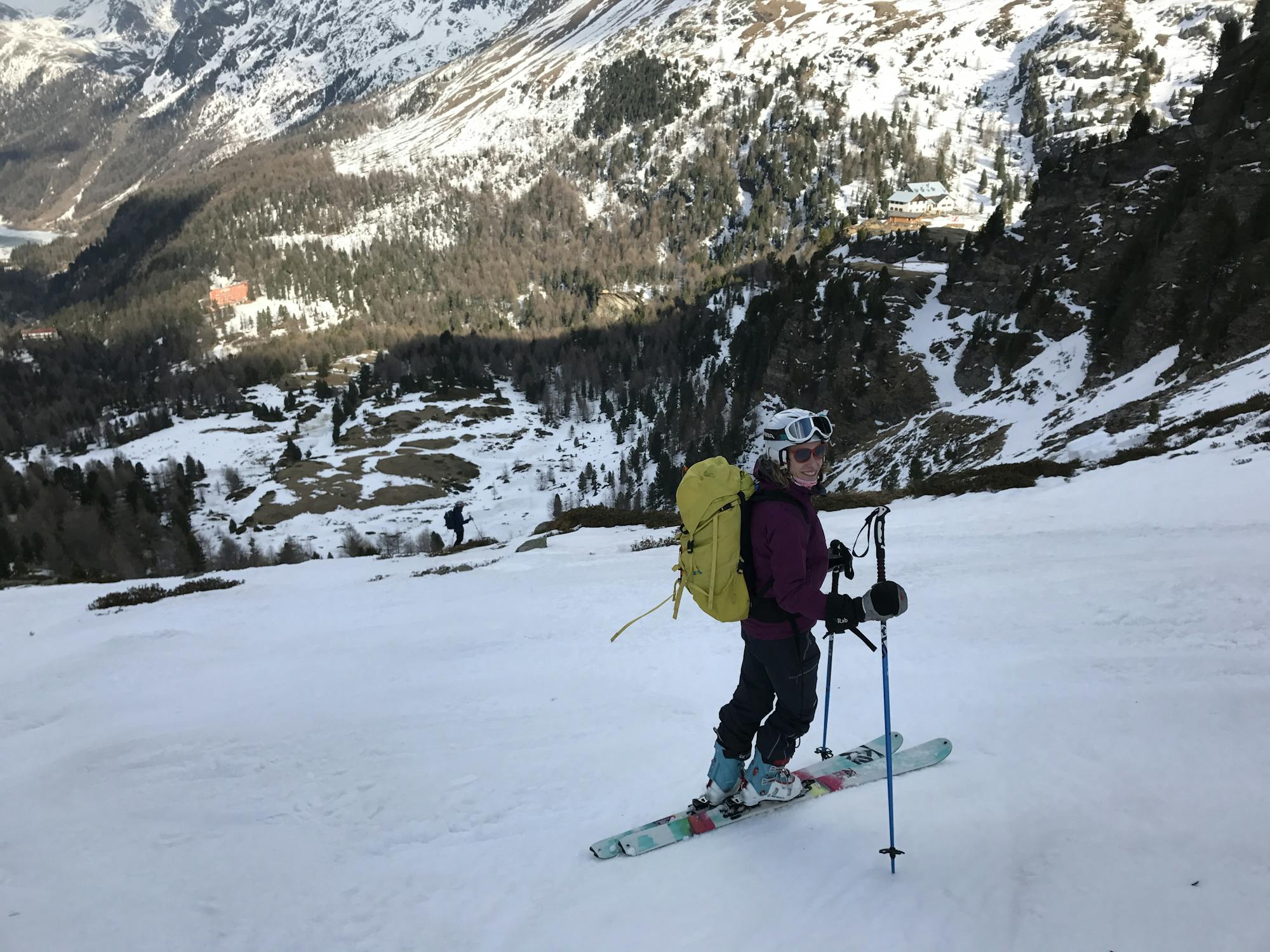
A fantastic mountaineering trip thats great for both alpinists and skiers, featuring fresh powder in springtime with an incredible view of the dolomites.
Severe Ski Touring

Free ride with abseil 4x 40 meter
Severe Freeride Skiing

Moderate Skitour that needs stable conditions. Less traffic than the Maurerspitze
Moderate Ski Touring