Tullen by Irmgard Tirler #backtopurmountain
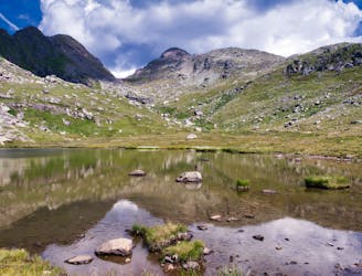
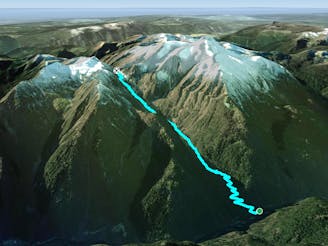
Zanser Alm, Villnöss auf Tullen
Moderate Hiking
- Distance
- 15 km
- Ascent
- 1.3 km
- Descent
- 1.3 km
Go hiking in Trentino-Alto Adige with curated guides of the best hikes across the region. With over 489 3D trail maps in FATMAP, you can easily discover and navigate the best trails in Trentino-Alto Adige.
No matter what your next adventure has in store, you can find a guide on FATMAP to help you plan your next epic trip.
Get a top hiking trail recommendation in Trentino-Alto Adige from one of our 42 guidebooks, or get inspired by the 489 local adventures uploaded by the FATMAP community. Start exploring now!
Zanser Alm, Villnöss auf Tullen
Moderate Hiking
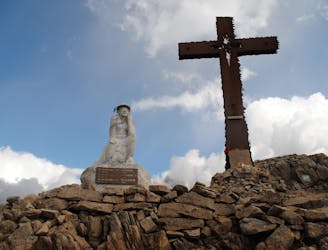
Il Trekking del Cristo Pensante nasce nel giugno del 2009 con la posa della Statua del Cristo Pensante e della Croce sulla piccola cima del Monte Castellazzo a Passo Rolle.
Easy Hiking

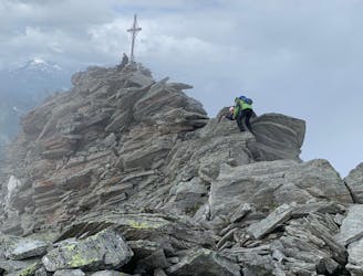
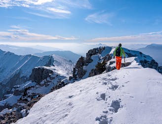
Sellajoch über Plattkofelhütte zum Plattkofel
Moderate Hiking
Bel percorso ad anello che porta ad esplorare la natura più selvaggia dell’Alpe Lusia e i suoi meravigliosi laghi.
Moderate Hiking
by Tobias Meindl
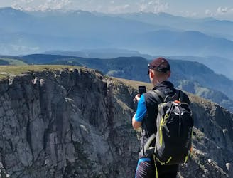
Difficult Hiking
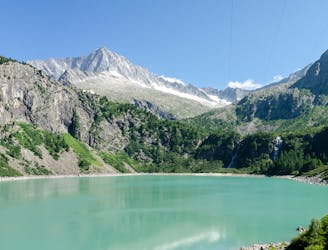
Sarentino, attraverso Sarnerscharte , Corno del Renon a Soprabolzano
Difficult Hiking

Alberto Ferrin
Difficult Hiking
An epic 8 day hike through the Adamello mountains in the Italian Alps
Difficult Hiking

Le creste di Cima Portule
Moderate Hiking

Pront - Regana - Brentari - Cima D'Asta - Diavoli - Col del Vento - Refavaie - Pront
Severe Hiking

Dalla val Canzoi sentiero per passo finestra e colsent
Moderate Hiking

Giro delle malghe sul costo di Asiago
Easy Hiking

Giro ad andello partendo dal rifugio Fonteghi, Monte Spizòti, Col San Pietro la cascata del Neva, il pass de mura per poi scendere al Rifugio Boz , Rifugio Fonteghi
Moderate Hiking

Bellissima e panoramica escursione al monte Pavione dal passo croce D'Aune con tappa al rifugi Dal Piaz
Moderate Hiking
Panoramico percorso dalla chiesetta del Pront a forcella Regana
Easy Hiking
Very steep North Face with hard snow and ice (crampons and ice axes needed!!!) and with 1000 meters of drop, descent in circle from an easy path.
Extreme Hiking