3.4 km away
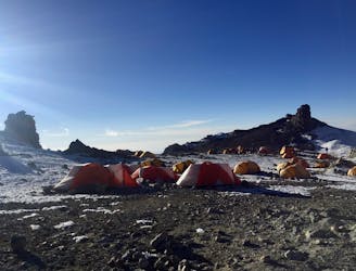
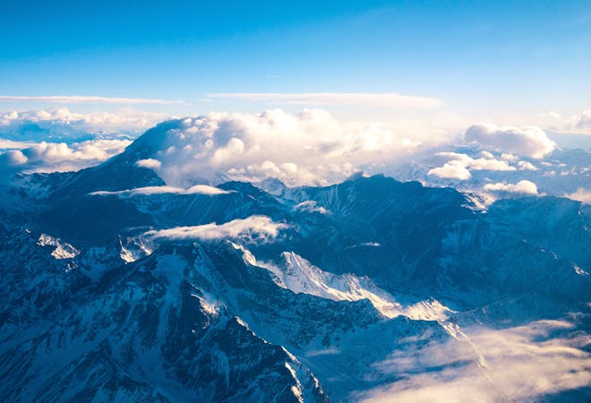
Aconcagua: Camp I to Camp II
Continue higher up the flanks of Aconcagua, ending at Camp II at 5,500 m.a.s.l.
Difficult Hiking
- Distance
- 2.8 km
- Ascent
- 475 m
- Descent
- 17 m
The first day the Aconcagua route gets above 5000 m.a.s.l.
Hiking Difficult

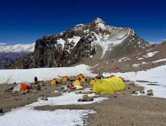
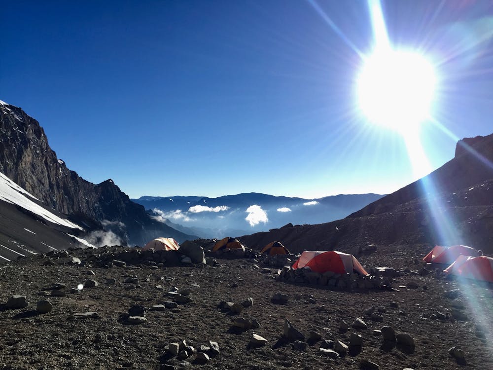
Now the time has come to leave the comfort and “luxury” of Base Camp and continue on to Camp I. On this hike you will reach 5000 m.a.s.l. for the first time!

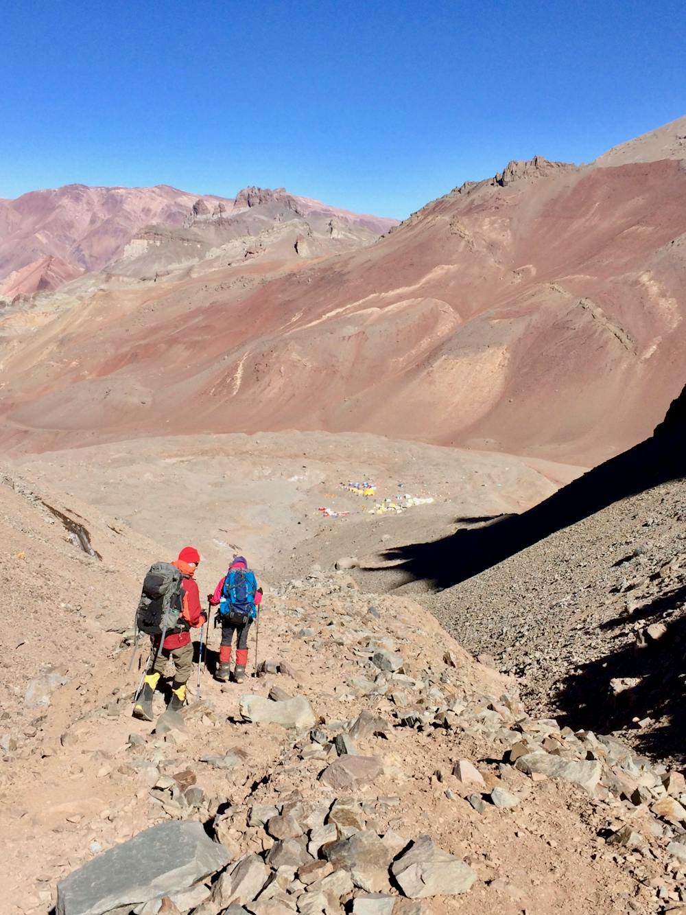
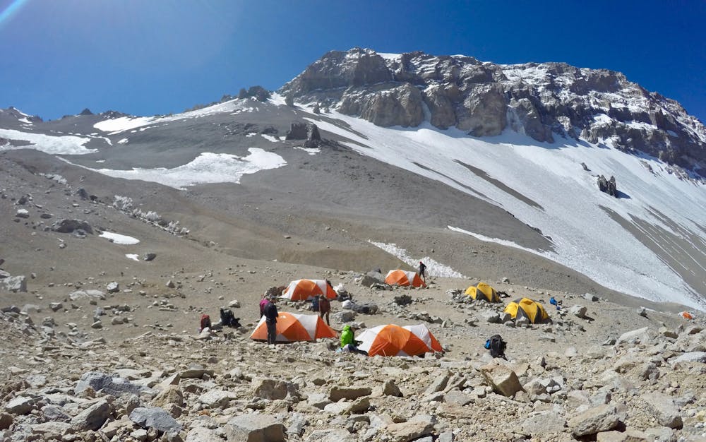
This trail is steep, and you’ll have to walk at a slow pace. Furthermore, it can be quite tough as it is made out of gravel, which means that one step up will often be followed by a small slide back down again. It is recommended to use the “triple boots” already at this stage of the climb, both to get used to them, and also for the protection of your feet. One should bring hiking poles on this hike, to give more stability and balance on the sliding and unstable trail.
Many people do this hike twice, using it as acclimatization, and also to carry equipment and food further up the mountain. Because of this, it is often found to be a mental challenge, as well as a physical one. However, there is an option to pay a local porter to take the heaviest load off your shoulders and thereby make the trip a bit easier for you.
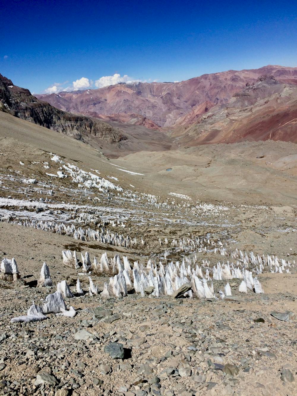
Despite the difficulty, the scenery is more majestic than ever! Besides being surrounded by huge mountains, it is often possible to see rather strange (but cool) snow formations along the path. These may look like big upside down icicles! Additionally, there is a river (size depending on weather conditions) flowing down the mountainside, next to the last traverse in the steep gravel hill at the end of the hike. The way back down goes a lot faster than the climb up. Taking advantage of the combination of gravity and gravel, one can have a fun descent sliding back down again. Your backpack will probably also be lighter!
Difficult
Hiking trails where obstacles such as rocks or roots are prevalent. Some obstacles can require care to step over or around. At times, the trail can be worn and eroded. The grade of the trail is generally quite steep, and can often lead to strenuous hiking.

The trail contains some obstacles such as outcroppings and rock which could cause injury.

Little chance of being seen or helped in case of an accident.
3.4 km away
Continue higher up the flanks of Aconcagua, ending at Camp II at 5,500 m.a.s.l.
Difficult Hiking
5.7 km away
The last hike before the summit attempt!
Difficult Hiking
7 km away
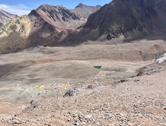
Hike down to Base Camp Plaza de Mulas.
Difficult Hiking
7 km away
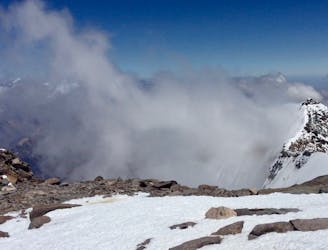
Summit the highest peak in South America!
Severe Hiking
7 routes · Hiking

18 routes · Alpine Climbing · Hiking