Aconcagua: Base Camp Plaza de Mulas to Horcones
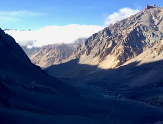
The last day of the Aconcagua expedition.
Moderate Hiking
- Distance
- 24 km
- Ascent
- 138 m
- Descent
- 1.6 km
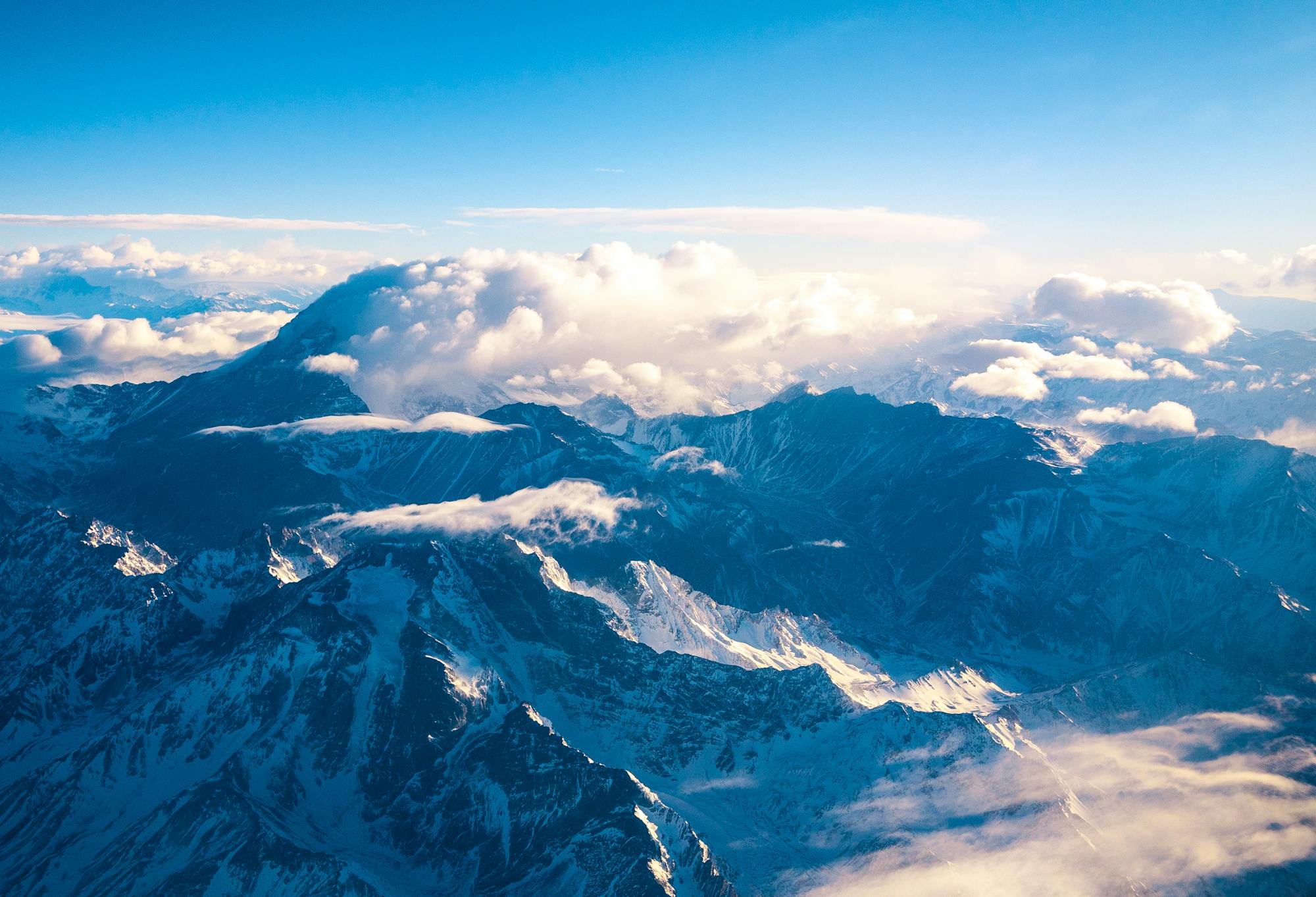
Go hiking in Mendoza with curated guides of the best hikes across the region. With over 17 3D trail maps in FATMAP, you can easily discover and navigate the best trails in Mendoza.
No matter what your next adventure has in store, you can find a guide on FATMAP to help you plan your next epic trip.
Get a top hiking trail recommendation in Mendoza from one of our 2 guidebooks, or get inspired by the 17 local adventures uploaded by the FATMAP community. Start exploring now!


The last day of the Aconcagua expedition.
Moderate Hiking
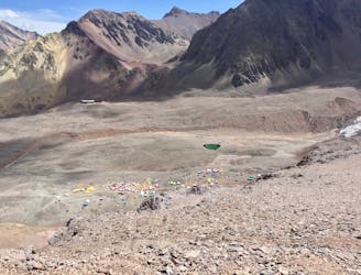
Hike down to Base Camp Plaza de Mulas.
Difficult Hiking
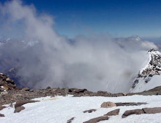
Summit the highest peak in South America!
Severe Hiking
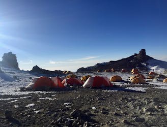
The last hike before the summit attempt!
Difficult Hiking
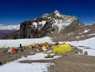
Continue higher up the flanks of Aconcagua, ending at Camp II at 5,500 m.a.s.l.
Difficult Hiking
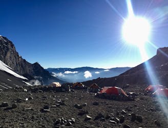
The first day the Aconcagua route gets above 5000 m.a.s.l.
Difficult Hiking
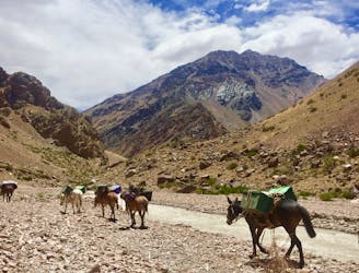
Mount Aconcagua's base camp approach route.
Moderate Hiking

Volcan Maipo -Argentina - desde laguna diamante
Difficult Hiking
7 routes · Hiking
18 routes · Alpine Climbing · Hiking