2 m away
Aconcagua: Camp III to Summit
Summit the highest peak in South America!
Severe Hiking
- Distance
- 5.9 km
- Ascent
- 921 m
- Descent
- 921 m
Hike down to Base Camp Plaza de Mulas.
Hiking Difficult
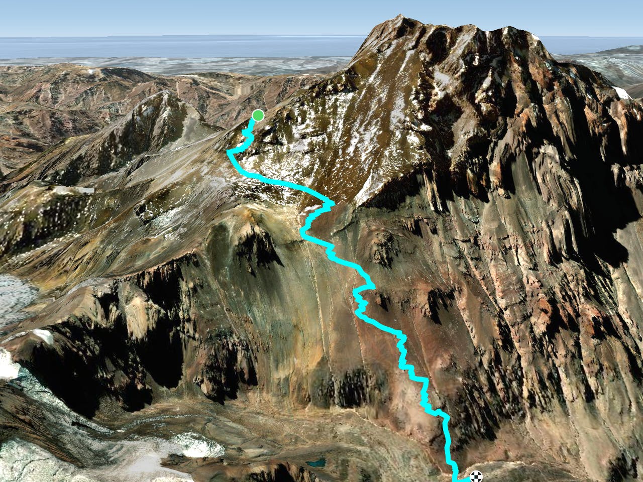
By this point, you'll already have reached the top of the mountain, but the adventure is still not over. The descent remains. By doing the 360 route you get the advantage that the way back down will still be interesting, as you’ll continue getting new views and experiences on a different trail from the one you ascended.
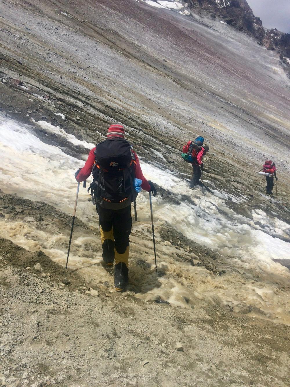
Keep in mind the main characteristics of this trail: it is steep and made of gravel (and snow, depending on the weather conditions). You have already been on a long and tiring expedition and tripping now on the way back down is not a good way to end the whole journey. Using crampons and hiking poles will increase your stability and surefootedness.
You’ll probably find that this side of the mountain is more crowded. You’ll meet more people, both going up and down, since Plaza de Mulas is a more popular base camp than Plaza Argentina. The standards are pretty much the same, but one cool feature is that Plaza de Mulas actually has its own little contemporary art gallery, which is the highest art gallery in the world. Visiting it can be a fun thing to do while there. Maybe you can find something of interest, but be aware that the prices are relatively high.
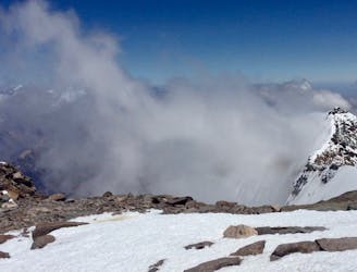
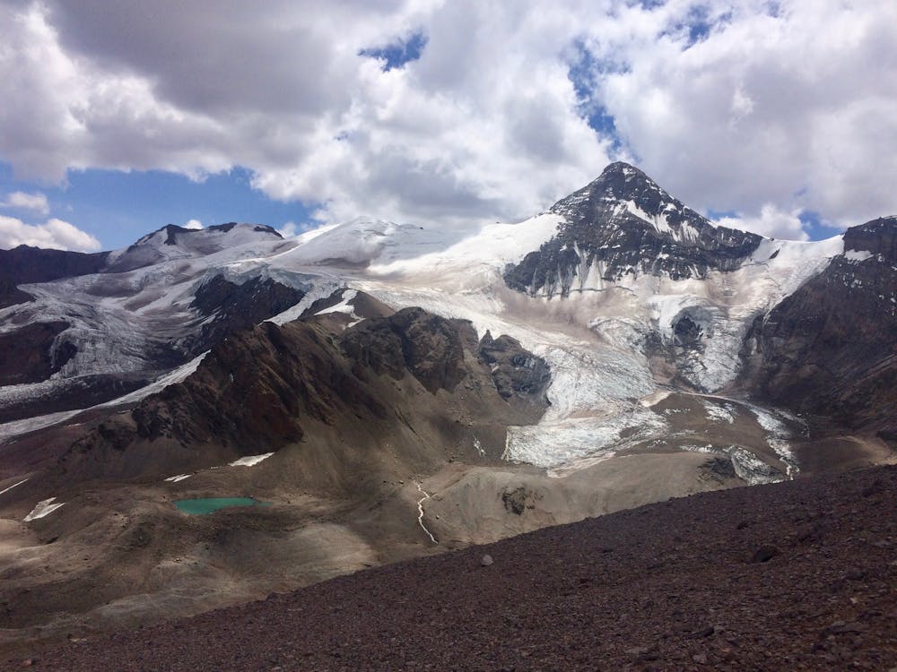
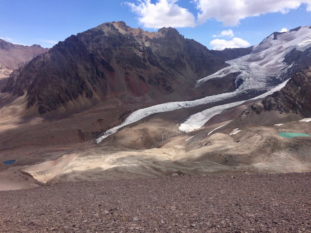
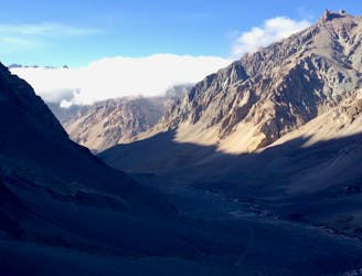
The views on this hike are still great, but they will naturally enough provide fewer and fewer overlooks of the surrounding mountain range. Due to this, it might not be the most impressive part of the journey after having been spoiled for several days with marvelous, majestic views.
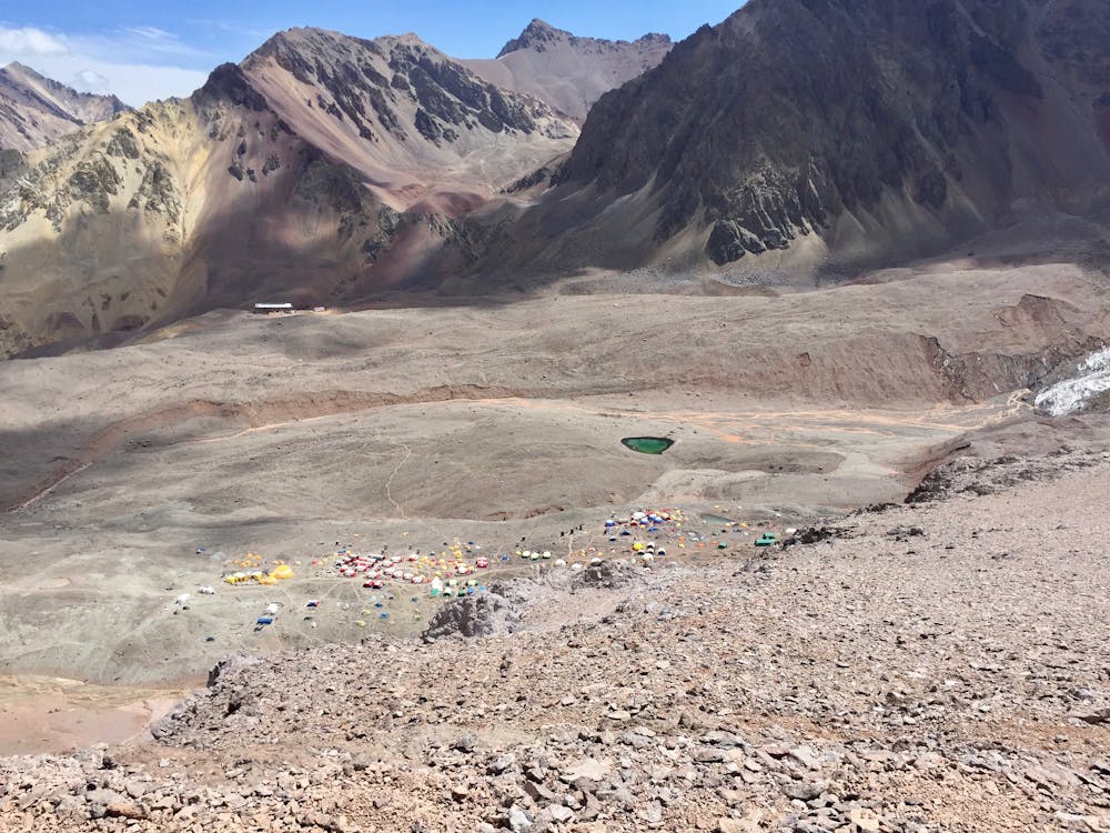
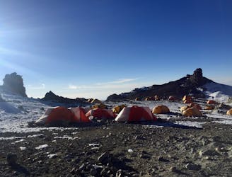
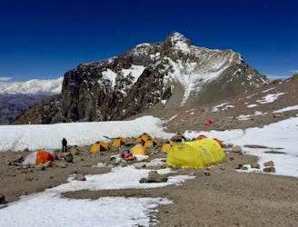
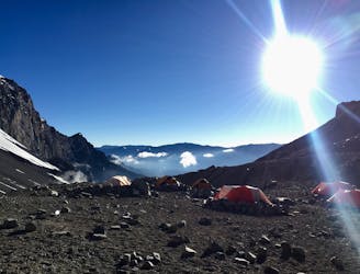
One fun part, though, is when you approach Base Camp and see it from above. The many different colors of the tents represent a small community down in the valley, and the whole scene is rather inviting.
Difficult
Hiking trails where obstacles such as rocks or roots are prevalent. Some obstacles can require care to step over or around. At times, the trail can be worn and eroded. The grade of the trail is generally quite steep, and can often lead to strenuous hiking.

The trail contains some obstacles such as outcroppings and rock which could cause injury.

Little chance of being seen or helped in case of an accident.
2 m away
Summit the highest peak in South America!
Severe Hiking
1.7 km away
The last hike before the summit attempt!
Difficult Hiking
3.7 km away
Continue higher up the flanks of Aconcagua, ending at Camp II at 5,500 m.a.s.l.
Difficult Hiking
3.9 km away
The last day of the Aconcagua expedition.
Moderate Hiking
7 km away
The first day the Aconcagua route gets above 5000 m.a.s.l.
Difficult Hiking
7 routes · Hiking

18 routes · Alpine Climbing · Hiking