1.7 km away
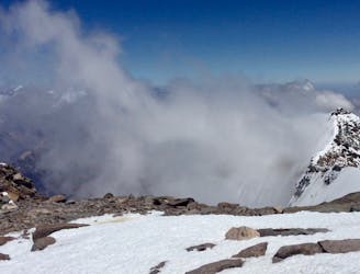
Aconcagua: Camp III to Base Camp Plaza de Mulas
Hike down to Base Camp Plaza de Mulas.
Difficult Hiking
- Distance
- 6.8 km
- Ascent
- 0 m
- Descent
- 1.6 km
The last hike before the summit attempt!
Hiking Difficult

The walk from Camp II to Camp III is the shortest hike on this expedition. However, it is not necessarily as easy as one might think, because of the altitude. Nevertheless, one can basically see the destination, about 500 meters higher above, immediately from the start of this hike at Camp II. This can prove to be a good motivator.
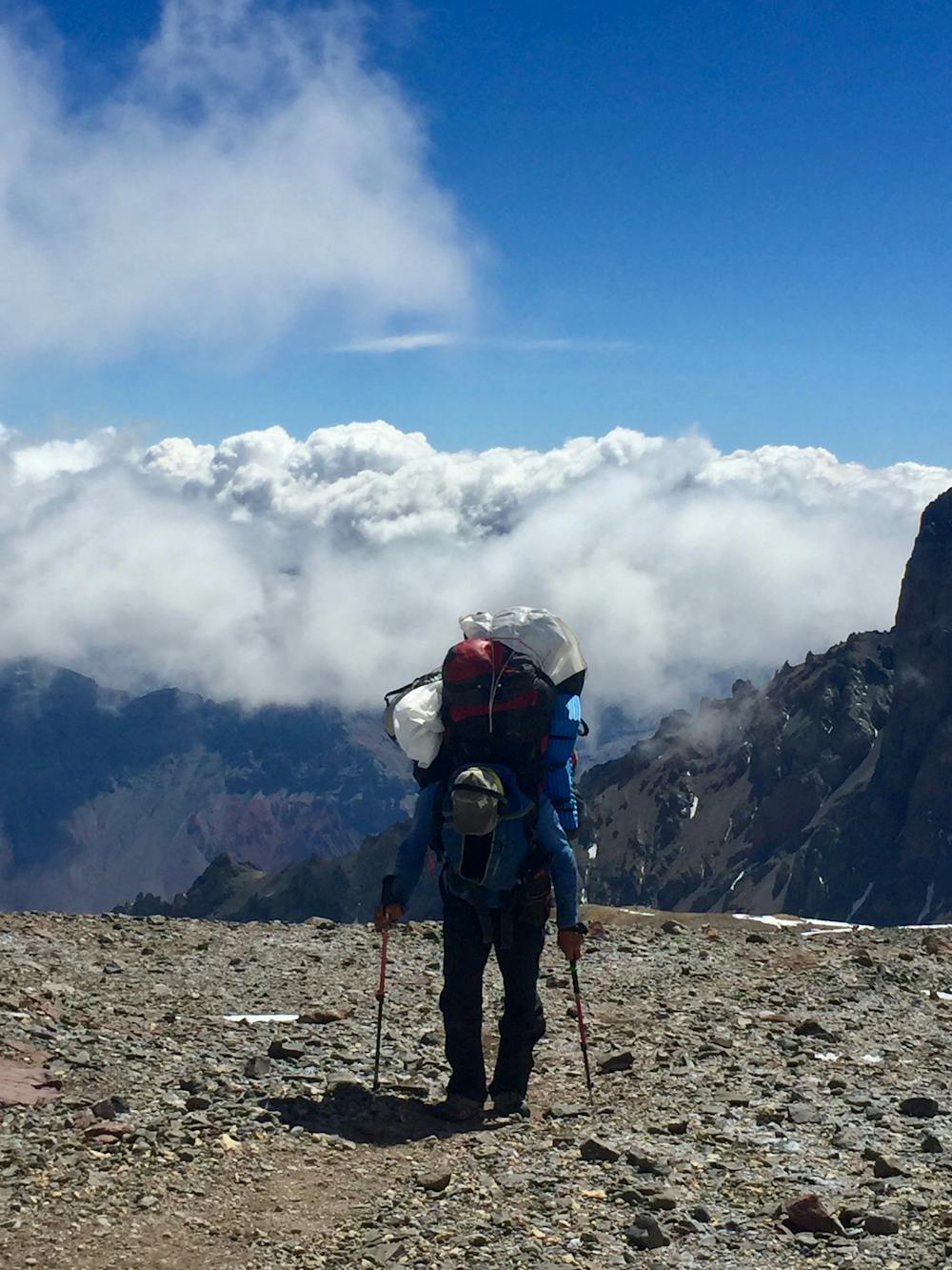
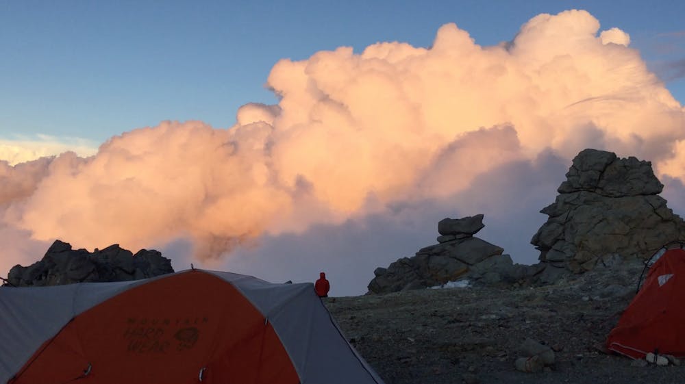
The characteristics of the path at this stage are still very similar to the trail from Camp I to Camp II (gravel, rocks, and partially steep but not technical). Starting off from Camp II with a quite steep but short hill, most of the trek takes place on easier terrain. The last part leading up to Camp III is again more steep, but not technical at all. Depending on the weather, the path can be covered with snow.
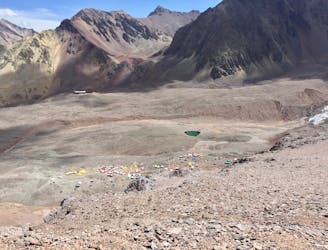
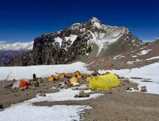
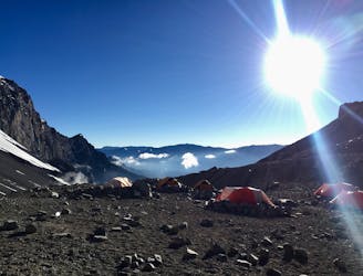
Camp III is the only camp used by hikers coming from both base camps, Plaza Argentina and Plaza de Mulas. This means it might get a little more crowded. It does, on the other hand, give you the chance to meet new people. Furthermore, you might see hikers returning from an attempt to summit. A chat with them could be interesting, to see how things went and if they made it!
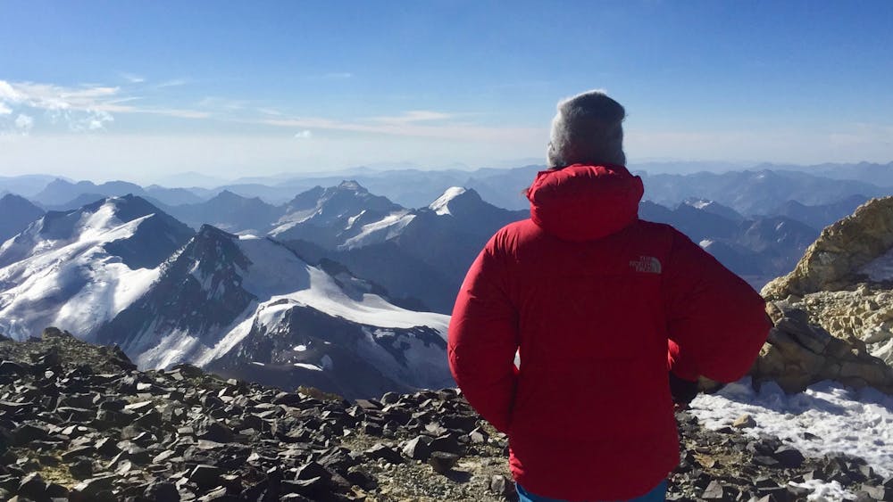
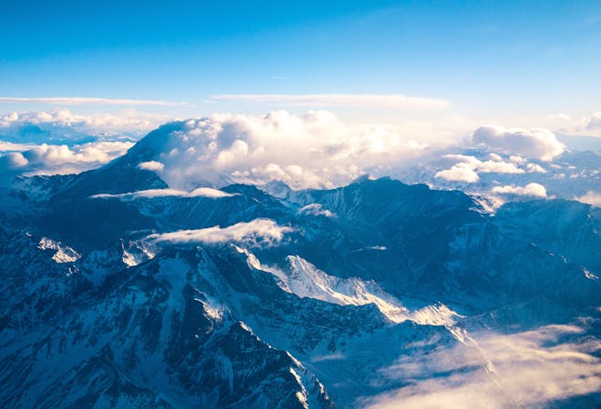
We keep saying it when writing about this expedition and what you get to see, but the view at Camp III is absolutely breathtaking. Look forward to it, because it is really amazing! Even though you might be exhausted from being up in the high alpine, it is absolutely worth it to take a walk around camp. Give yourself some time to have a good look around and take in what is surrounding you. It is incredible!
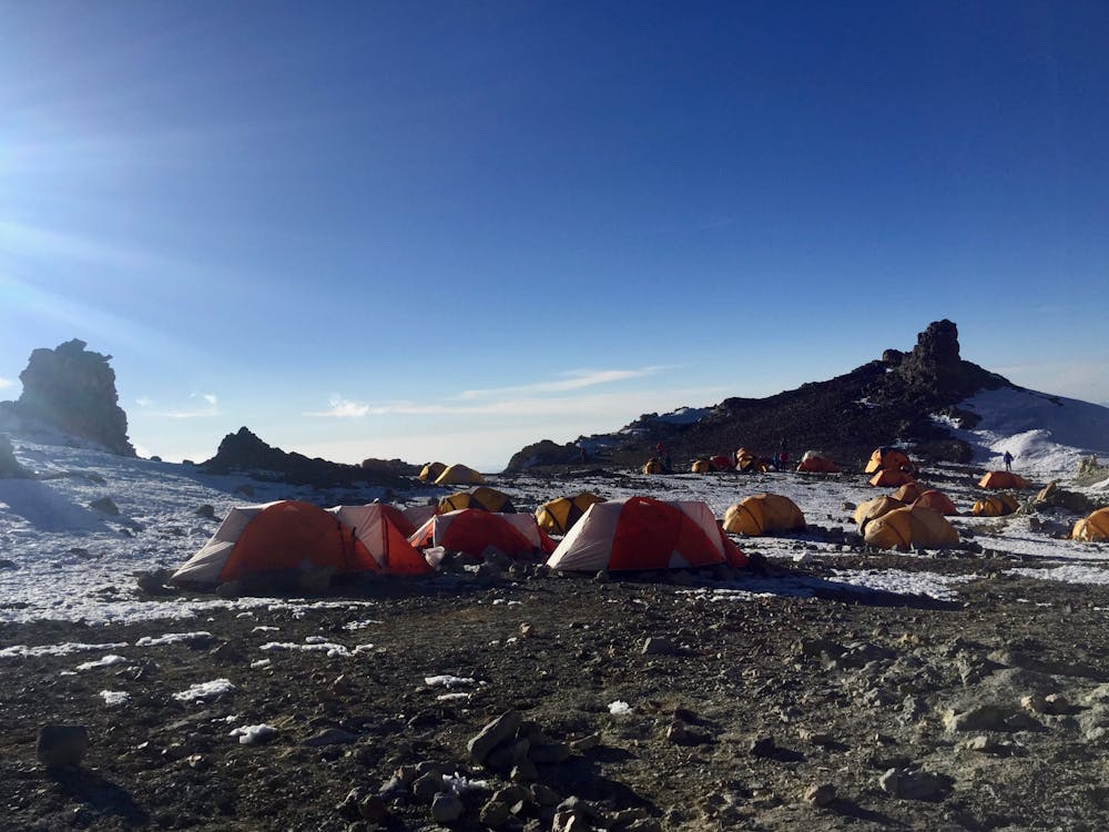
A challenge at this camp is, naturally enough, the altitude. Our bodies are not used to sleeping at almost 6000 m.a.s.l., so resting here might not be the most comfortable rest you’ve had. That said, it is certainly important before the summit hike.
Difficult
Hiking trails where obstacles such as rocks or roots are prevalent. Some obstacles can require care to step over or around. At times, the trail can be worn and eroded. The grade of the trail is generally quite steep, and can often lead to strenuous hiking.

The trail contains some obstacles such as outcroppings and rock which could cause injury.

In the high mountains or remote conditions, all individuals must be completely autonomous in every situation.
1.7 km away
Hike down to Base Camp Plaza de Mulas.
Difficult Hiking
1.7 km away
Summit the highest peak in South America!
Severe Hiking
2.3 km away
Continue higher up the flanks of Aconcagua, ending at Camp II at 5,500 m.a.s.l.
Difficult Hiking
5.6 km away
The last day of the Aconcagua expedition.
Moderate Hiking
5.7 km away
The first day the Aconcagua route gets above 5000 m.a.s.l.
Difficult Hiking
7 routes · Hiking

18 routes · Alpine Climbing · Hiking