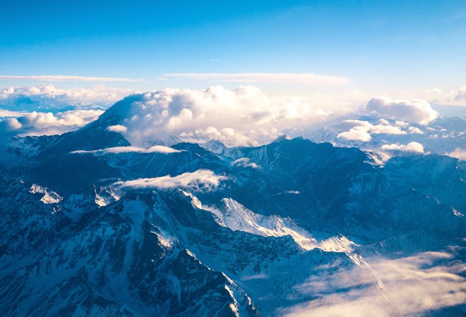
3.9 km away
Aconcagua: Camp III to Summit
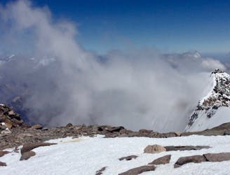
Summit the highest peak in South America!
Severe Hiking
- Distance
- 5.9 km
- Ascent
- 921 m
- Descent
- 921 m
The last day of the Aconcagua expedition.
Hiking Moderate

The walk from Base Camp Plaza de Mulas to the exit of the valley is the final stage of the Aconcagua 360 route. It's long in distance, but by this point you'll have a lighter backpack, be at a lower altitude, and most likely be in a different state of mind from what you had on the hike into the valley on the other side of the mountain.
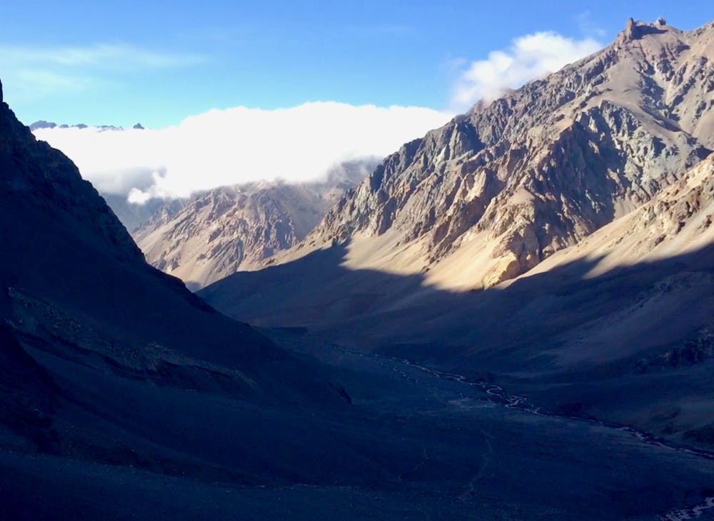
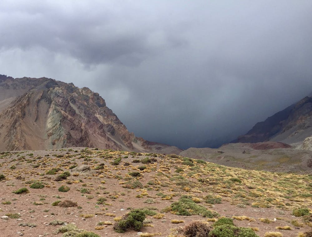
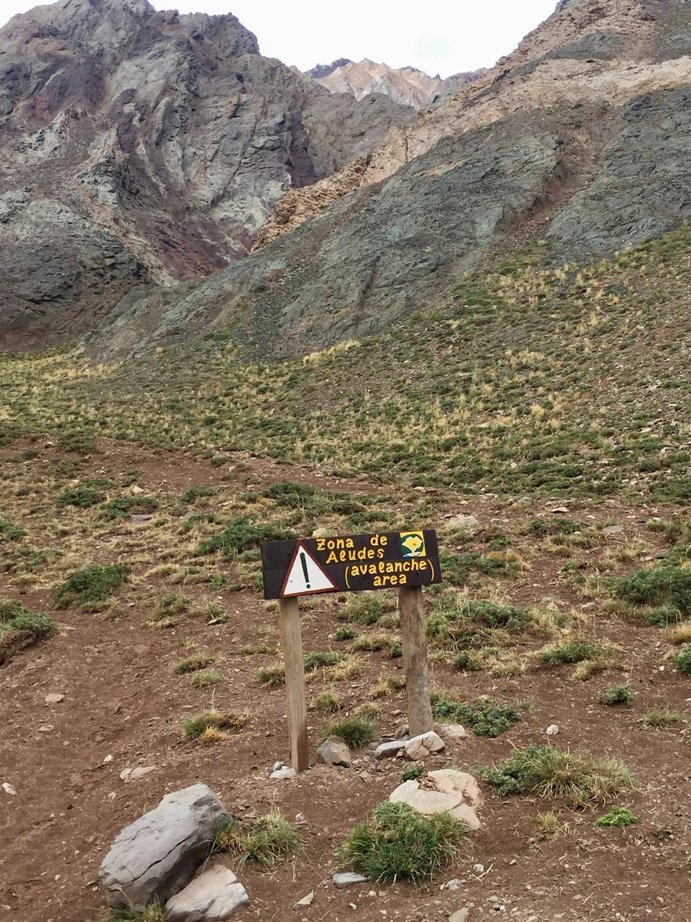
This final trail is characterized by a less defined path in a wider and more open valley than the hike in. The terrain is easy to walk in and there will be no problem finding the way, as you can simply follow the bottom of the valley. Depending on the weather, though, you might have to cross the river flowing through the valley a few times. Another challenge is the less likely—but possible—risk of rock avalanches.
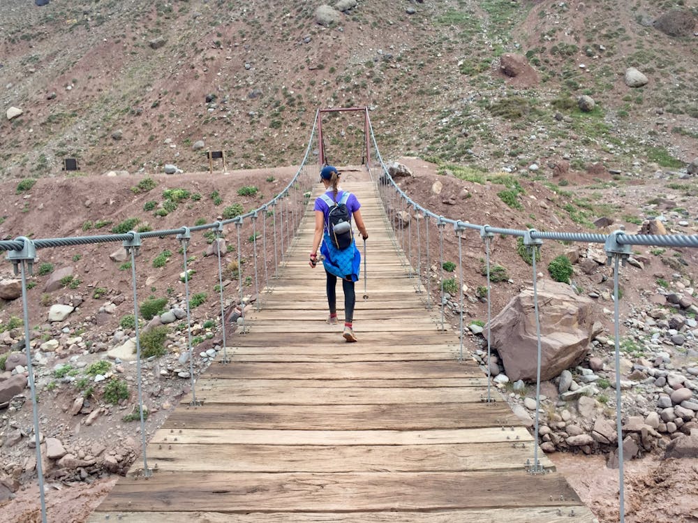
The hike out is naturally enough not as strenuous as the past stages you have been through. You will be going downwards and the slope will not be nearly as steep as what you have been on earlier. Already down here you might notice that the oxygen levels are higher. In addition, mules can again carry all your heavier luggage, and all you will need is a daypack with food, water, some extra clothes, and maybe some sunscreen. Moreover, there will no longer be a need to use the big triple boots you have been using up until now. On this last leg, lighter shoes such as jogging shoes or light hiking boots are enough. Nonetheless, as mentioned above, this is a long distance walk and can be tiring simply because of the many hours you might end up trekking.
Remember to keep enjoying the beautiful nature around you all the way 'till the end. This valley might not offer spectacular 360-degree views of mountain peaks, but your surroundings on this last trek will still be wonderful.
If you’re not on a guided trip, make sure to arrange transportation back from Horcones.
Moderate
Hiking along trails with some uneven terrain and small hills. Small rocks and roots may be present.

The trail contains some obstacles such as outcroppings and rock which could cause injury.

Little chance of being seen or helped in case of an accident.
3.9 km away
Summit the highest peak in South America!
Severe Hiking
3.9 km away
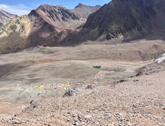
Hike down to Base Camp Plaza de Mulas.
Difficult Hiking
5.6 km away
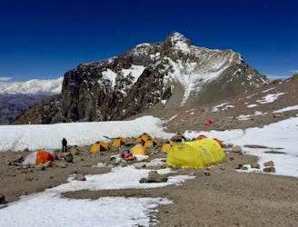
The last hike before the summit attempt!
Difficult Hiking
7.5 km away
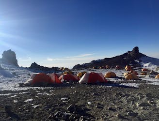
Continue higher up the flanks of Aconcagua, ending at Camp II at 5,500 m.a.s.l.
Difficult Hiking
7 routes · Hiking

18 routes · Alpine Climbing · Hiking